Pirep is a free, collaborative database of all public and private airports. All pilots are welcome to contribute their local knowledge to any airport, no registration required.

Public
Undocumented
Edit Tags
No upcoming events. Is anything happening here soon?
Airport Statistics
- Landing & tie-down fees
- Transient parking location
- WiFi availability
Location:
Fort Worth, TX
Elevation:
693ft
Sectional:
Dallas Ft Worth
Activation date:
Mar 1981
Fuel:
None
Runway 17/35:
5,943ft
Access: Open to the public
This airport is privately owned but open to the public.
Click/tap to add an annotation marker to the map
No webcams added yet.
Remarks
- Tsnt acft 3 hrs ppr.
- Twy a poor. outer 18 ft of each side is asph, center 39 ft is conc.
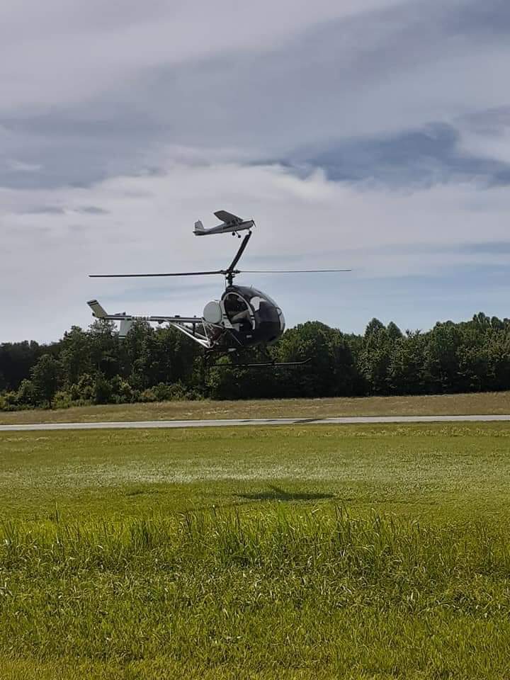
- Extsv hel act in area.
- For cd ctc lone star apch at 972-615-2799.
- 260 ft agl twr 0.7 nm nw rwy 17 end.
- Actvt lirl rwy 17/35; twy lts - ctaf.
- 15 ft rd 0-199 ft dstc, acrs apch.
- 15 ft rd 0-120 ft dstc acrs apch.
Comments