Pirep is a free, collaborative database of all public and private airports. All pilots are welcome to contribute their local knowledge to any airport, no registration required.

Public
Undocumented
METAR / TAF
Edit Tags
No upcoming events. Is anything happening here soon?
Airport Statistics
- Airport map annotations
- Crew car availability
- WiFi availability
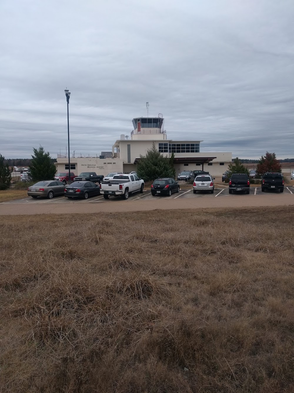
Location:
El Dorado, AR
Elevation:
277ft
Sectional:
Memphis
Activation date:
Dec 1944
Fuel:
100LL, A+ (prices)
Runway 04/22:
6,601ft
Runway 13/31:
5,100ft
Access: Open to the public
Current Weather — VFR
-
Weather data is strictly informational and not for flight planning purposes.
-
METAR2026-07-21 05:53:00 CDT
Ceiling: Sky clear Wind: Calm Temperature: 77°F Dewpoint: 73°F Weather: N/A Visbility: 9SM Raw:METAR KELD 211053Z AUTO 00000KT 9SM CLR 25/23 A2989 RMK AO2 SLP118 T02500233 -
TAF2026-07-21 07:00:00 CDT – 2026-07-21 15:00:00 CDT
Ceiling: Sky clear Wind: 290° @ 5kt Weather: N/A Visbility: 6SM Clouds: Few @ 4,000ft Raw:TAF KELD 211120Z 2112/2212 29005KT P6SM FEW040 FM212000 34005KT P6SM SCT100 FM220000 VRB03KT P6SM SKC FM220600 00000KT P6SM SKC -
TAF2026-07-21 15:00:00 CDT – 2026-07-21 19:00:00 CDT
Ceiling: Sky clear Wind: 340° @ 5kt Weather: N/A Visbility: 6SM Clouds: Scattered @ 10,000ft Raw:TAF KELD 211120Z 2112/2212 29005KT P6SM FEW040 FM212000 34005KT P6SM SCT100 FM220000 VRB03KT P6SM SKC FM220600 00000KT P6SM SKC -
TAF2026-07-21 19:00:00 CDT – 2026-07-22 01:00:00 CDT
Ceiling: Sky clear Wind: Variable Weather: N/A Visbility: 6SM Clouds: @ ft Raw:TAF KELD 211120Z 2112/2212 29005KT P6SM FEW040 FM212000 34005KT P6SM SCT100 FM220000 VRB03KT P6SM SKC FM220600 00000KT P6SM SKC -
TAF2026-07-22 01:00:00 CDT – 2026-07-22 07:00:00 CDT
Ceiling: Sky clear Wind: Calm Weather: N/A Visbility: 6SM Clouds: @ ft Raw:TAF KELD 211120Z 2112/2212 29005KT P6SM FEW040 FM212000 34005KT P6SM SCT100 FM220000 VRB03KT P6SM SKC FM220600 00000KT P6SM SKC
Click/tap to add an annotation marker to the map
No webcams added yet.
Remarks
- This airport has been surveyed by the national geodetic survey.
- For cd if una to ctc on fss freq, ctc fort worth artcc at 817-858-7584.
- Dusk-dawn. hirl rwy 04/22 preset low intst; to incr intst & actvt malsr rwy 22; mirl rwy 13/31; twy lgts - ctaf.
- For svc aft hrs call 870-866-9696; fee chrgd.
- Papi unusbl byd 9 degs left and 6 degs right of cntrln.
- Papi unusbl byd 7 degs left and right of cntrln.
Comments