Pirep is a free, collaborative database of all public and private airports. All pilots are welcome to contribute their local knowledge to any airport, no registration required.
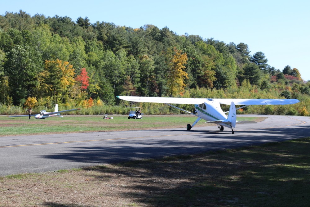
Attribution:
Kolos Ferenc
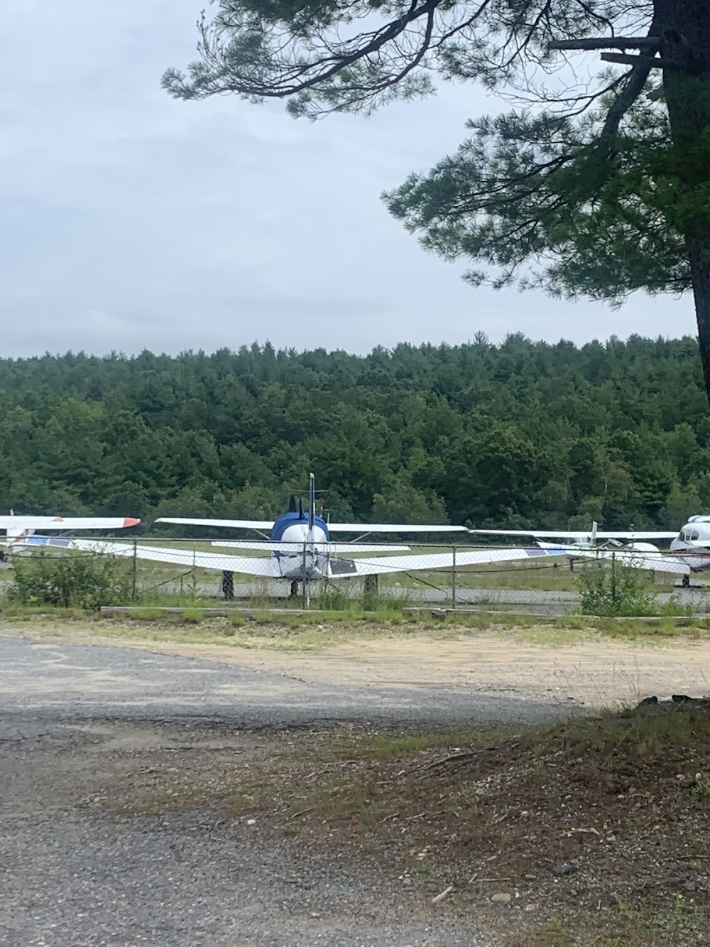
Attribution:
Arthur Mooradian
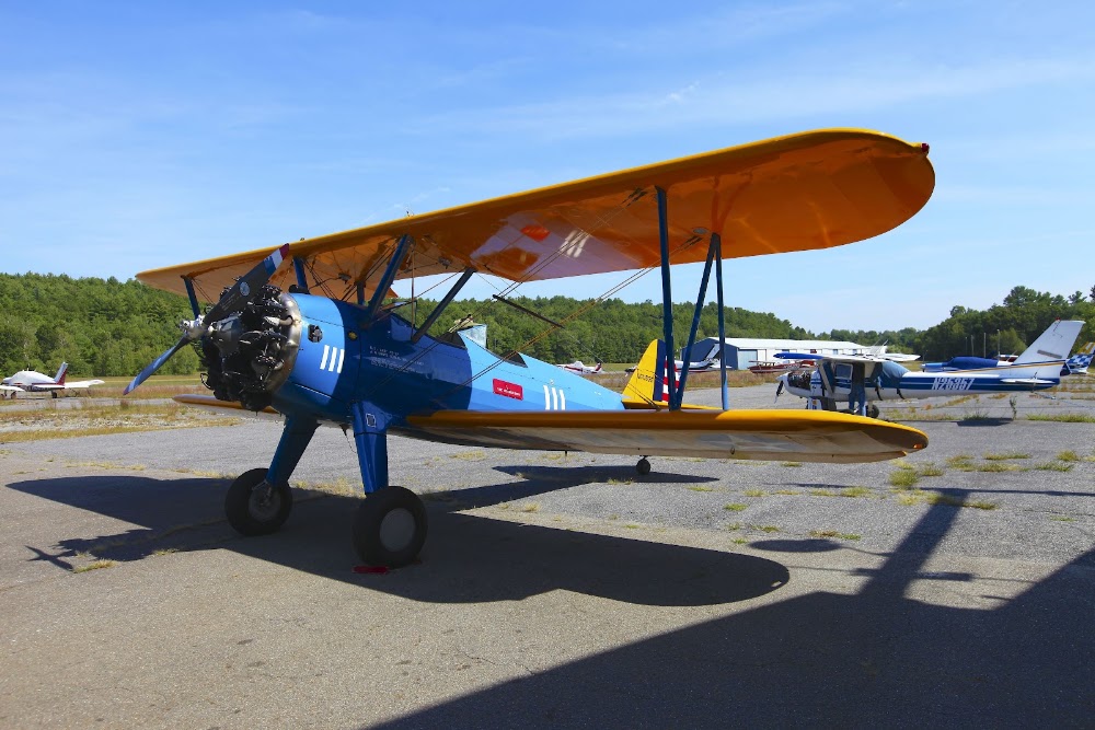
Attribution:
ed newell

Attribution:
ed newell
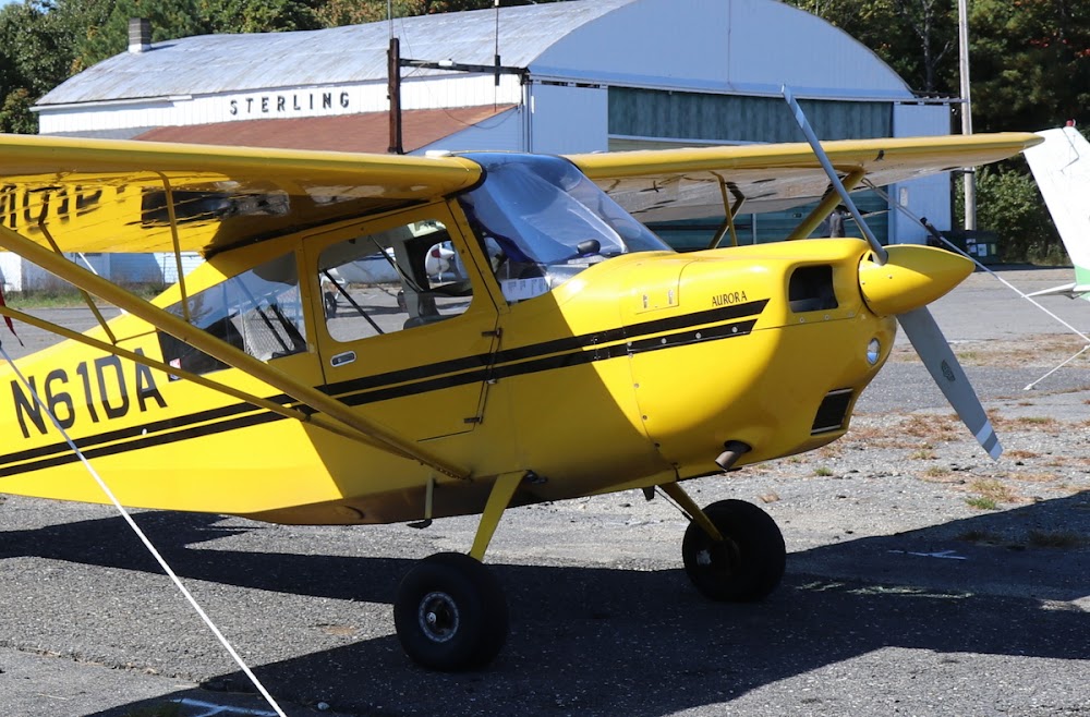
Attribution:
Kolos Ferenc
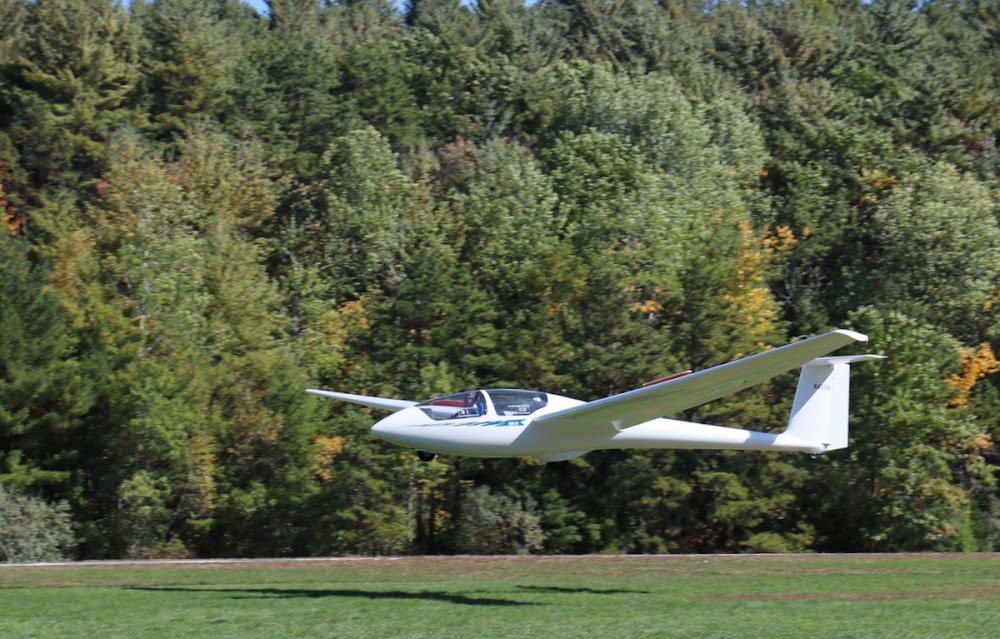
Attribution:
Kolos Ferenc
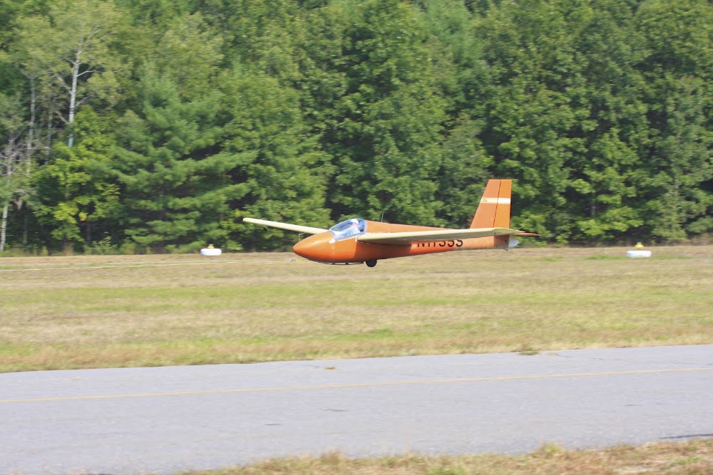
Attribution:
ed newell

Attribution:
ed newell

Attribution:
ed newell
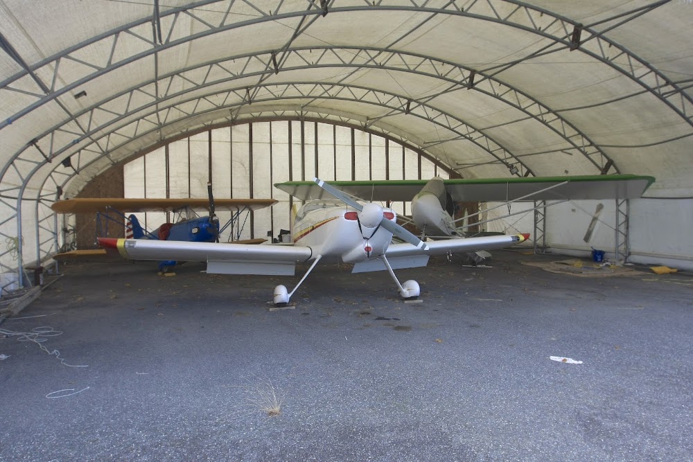
Attribution:
ed newell
Public
Undocumented
Edit Tags
No upcoming events. Is anything happening here soon?
Airport Statistics
- Local flying clubs
- WiFi availability
- Fuel pump location
Location:
Sterling, MA
Elevation:
459ft
Sectional:
New York
Activation date:
Dec 1948
Fuel:
100LL
Runway 16/34:
3,086ft
Runway H1:
50ft
Access: Open to the public
This airport is privately owned but open to the public.
Click/tap to add an annotation marker to the map
No webcams added yet.
Remarks
- This airport has been surveyed by the national geodetic survey.
- Estab prior to 1959.
- Gldr ops invof arpt sr-ss dly.
- Wildlife invof arpt.
- For cd ctc bradley apch at 860-386-3597.
- Actvt lirl rwy 16/34 & rotg bcn - ctaf.
- Intensive gldr actvt on wkends.
- Non-std lirl; first 190 ft rwy 16 unlgtd; first 240 ft rwy 34 unlgtd.
Comments