Pirep is a free, collaborative database of all public and private airports. All pilots are welcome to contribute their local knowledge to any airport, no registration required.


No upcoming events. Is anything happening here soon?
Last updated: 2023-06-29 22:45:12 EDT
Airport Statistics
- WiFi availability
- Airport photos
- Airport map annotations
Location:
Eastport, MI
Elevation:
640ft
Sectional:
Green Bay
Activation date:
Nov 1991
Fuel:
None
Runway 09/27:
3,300ft
Runway 04/22:
2,400ft
Access: Open to the public
This airport is privately owned but open to the public.
Similar Airports
Click/tap to add an annotation marker to the map
No webcams added yet.
Remarks
- Prvdd obst in rwy apch slp sfc removed/lwrd or thr dsplcd & mkd to prvd mnm 20:1 apch sfc clnc ovr obst; area 125 ft either side of rcl clear of any obst; all aspects of 89-agl-671-nra complied with; apvd for rwy 09/27 only.
- Arpt clsd nov 15-apr 15 & when snow covd exc for ski equipped acft. no snow removal.
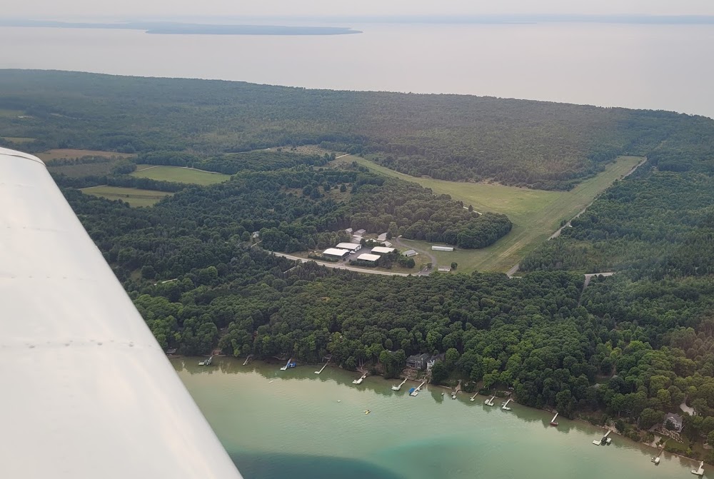
- Trees obsc view of rwy ends.
- For cd ctc minneapolis artcc at 651-463-5588.
- Arpt phys ads: 1309 n us-31, kewadin, mi 49648.
- Apch ratio 1:1 to dthr ovr 28 ft tree, 17 ft dist, 90 ft l.
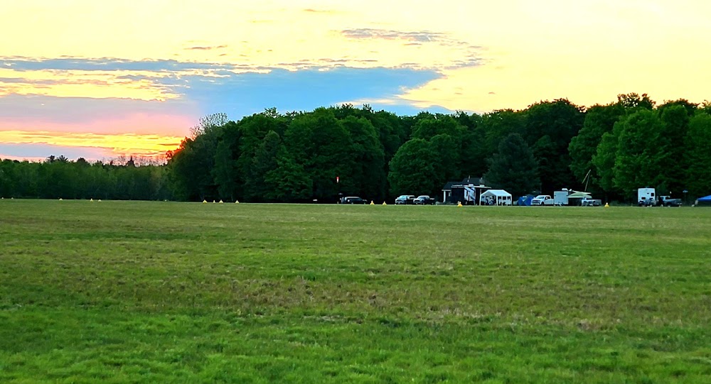
- 3 ft yellow cones.
- Apch ratio 3:1 to dthr ovr 72 ft trees, 236 ft dist, 135 ft l.
Comments

