Pirep is a free, collaborative database of all public and private airports. All pilots are welcome to contribute their local knowledge to any airport, no registration required.



Public
Undocumented
Edit Tags
No upcoming events. Is anything happening here soon?
Airport Statistics
- Transient parking location
- Local flying clubs
- General description
Location:
Naknek, AK
Elevation:
70ft
Sectional:
Kodiak
Activation date:
Jun 1953
Fuel:
100LL
Runway 08W/26W:
2,000ft
Runway 08/26:
1,950ft
Runway 14/32:
1,836ft
Access: Open to the public
Click/tap to add an annotation marker to the map
No webcams added yet.
Remarks
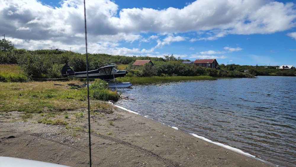
- Seaplanes e apch to lake over rwy 14-32 & tibbetts arpt.
- No line of sight between runways or waterways.
- Float acft departing northwest lake to east, cross arpt at low altitude, acft not visible until airborne.
- Uncontrolled vehicular tfc on rys.
- ry cond not monitored; recommend visual inspection prior to using.
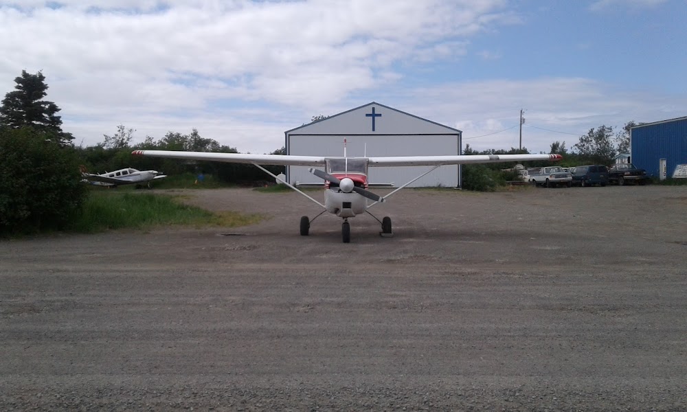
- Acft on east side of ry 14/32 tied down in safety area.
- Wx camera avbl on internet at https://weathercams.faa.gov
- Airport unlit
Comments