Pirep is a free, collaborative database of all public and private airports. All pilots are welcome to contribute their local knowledge to any airport, no registration required.
Public
Undocumented
Edit Tags
No upcoming events. Is anything happening here soon?
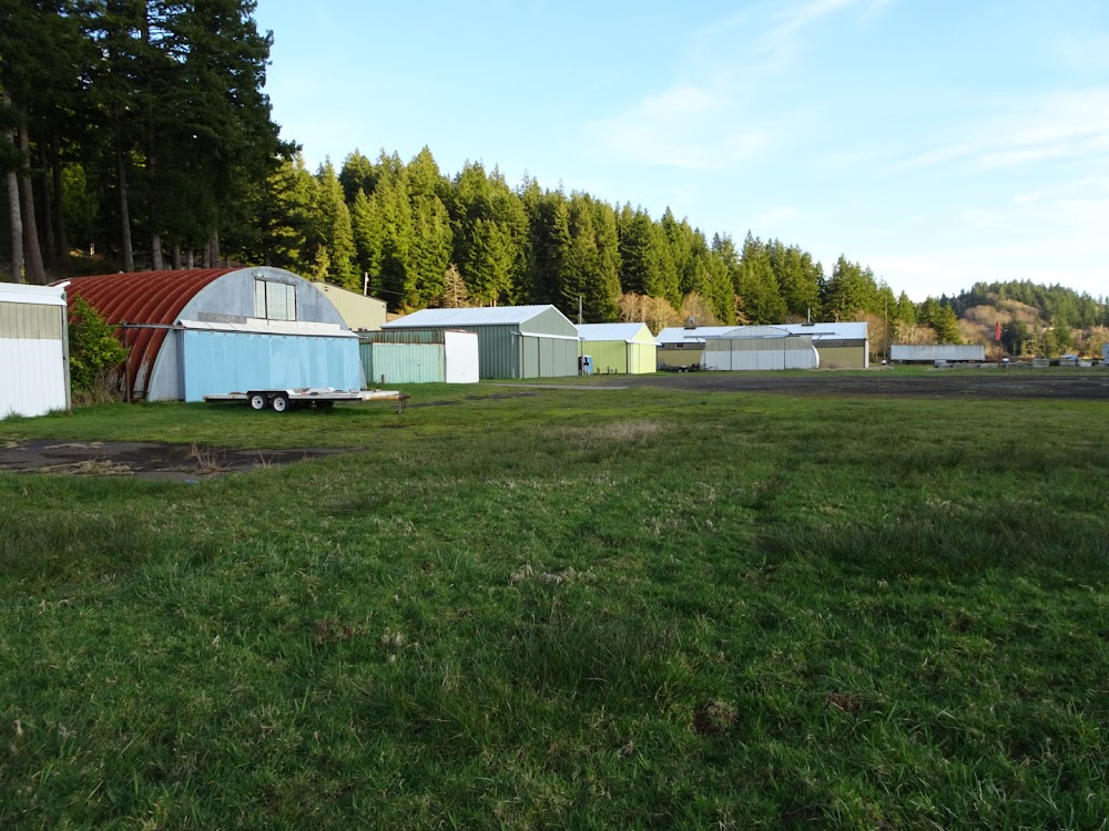
Airport Statistics
- Fuel pump location
- Airport photos
- Webcam links
Location:
Toledo, OR
Elevation:
12ft
Sectional:
Seattle
Activation date:
Mar 1958
Fuel:
None
Runway 13/31:
1,750ft
Access: Open to the public
Click/tap to add an annotation marker to the map
No webcams added yet.
Remarks
- Estabd prior to 1959.
- Ppr for use - amgr.
- Trees in transition area.
- Deer & waterfowl invof of arpt.
- Unpaved ramp and taxiway
- Ry may be underwater during high tides. occasional driftwood may be on ry following flooding.
- Curve approach path from over water to avoid obstructions in transitional areas.
- +20 ft trees in transitional surface at 50-75 ft from ry edge.
Comments