Pirep is a free, collaborative database of all public and private airports. All pilots are welcome to contribute their local knowledge to any airport, no registration required.
Sadly, this airport is reportedly closed based on it being removed from the FAA's database.
No upcoming events. Is anything happening here soon?
Airport Statistics
- Webcam links
- Local flying clubs
- Transient parking location
Location:
Estacada, OR
Elevation:
735ft
Sectional:
Seattle
Activation date:
Mar 1975
Closed date:
Oct 2024
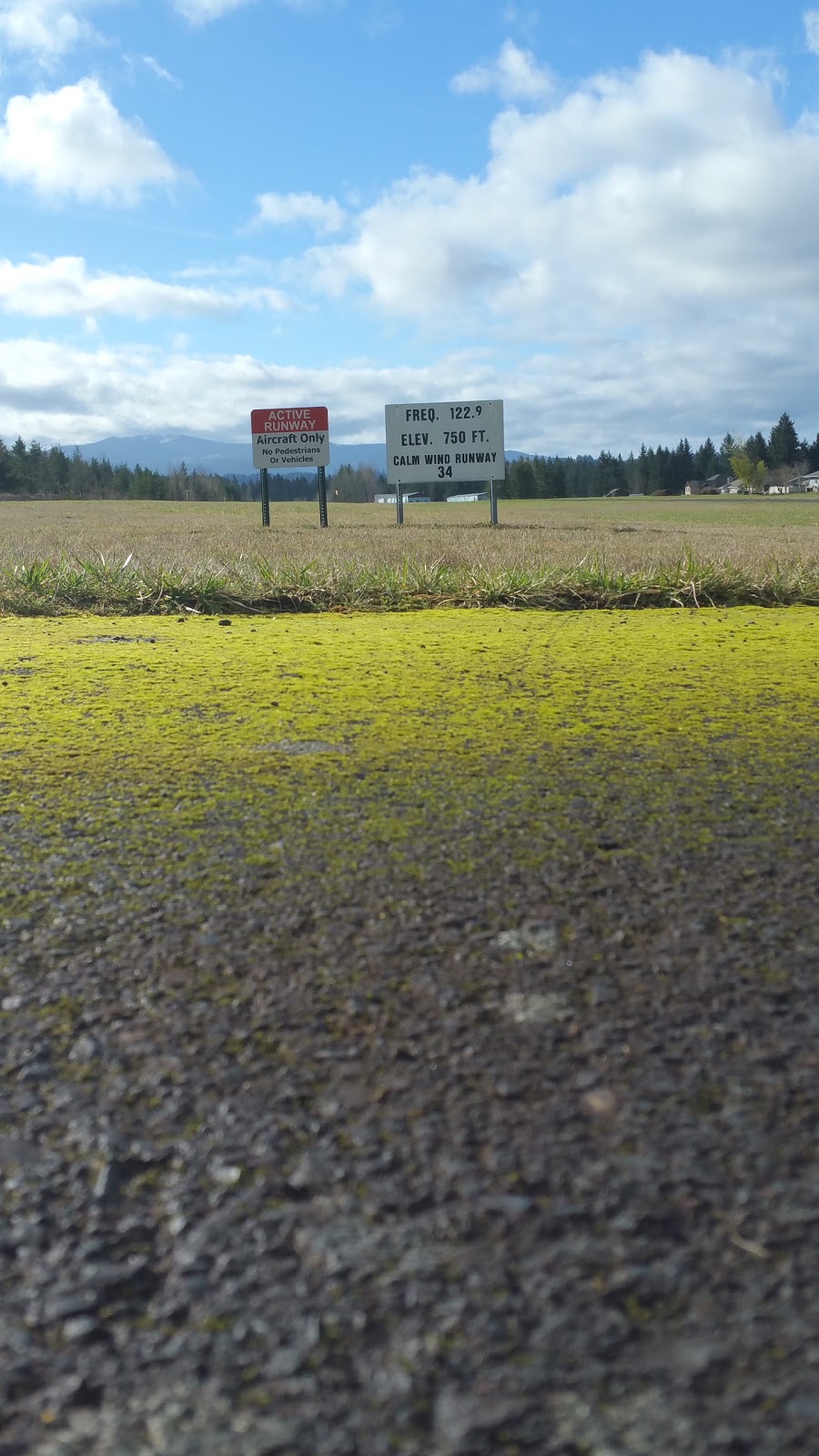
Fuel:
None
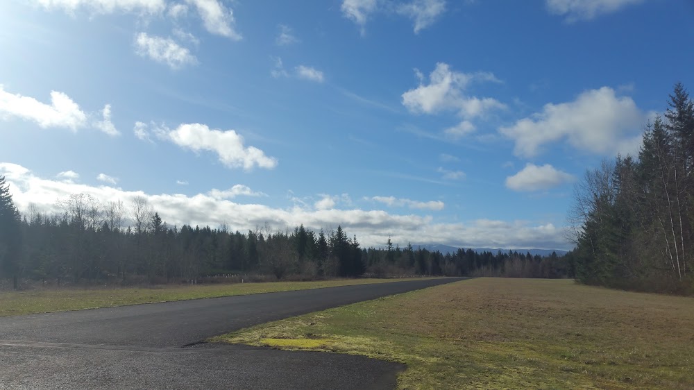
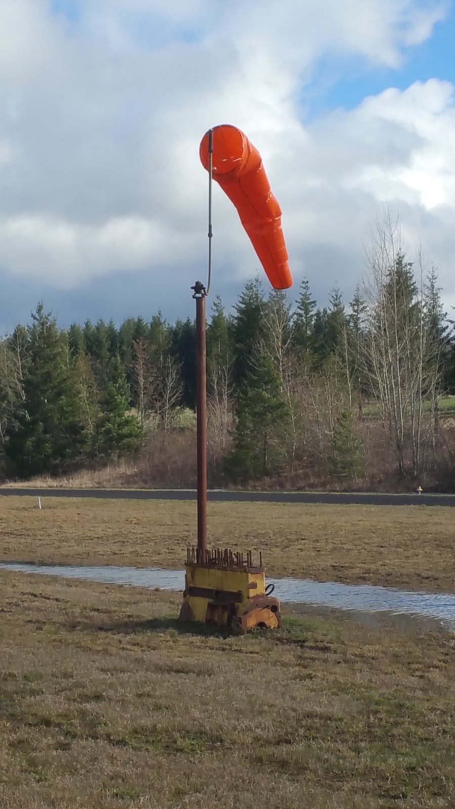
Runway 16/34:
3,780ft
Access: Open to the public
This airport is privately owned but open to the public.
Similar Airports

Click/tap to add an annotation marker to the map
No webcams added yet.
Remarks
- For cd ctc portland apch at 503-493-7545.
- 15-45 ft trees at 20 ft e of rwy full len.
- Rwy 16 apch slp 6:1 based on dthr.
- 40-60 ft trees at 150-200 ft fm rwy end and 75-85 ft left of cntrln.
Comments