Pirep is a free, collaborative database of all public and private airports. All pilots are welcome to contribute their local knowledge to any airport, no registration required.
Public
Undocumented
Edit Tags
No upcoming events. Is anything happening here soon?
Airport Statistics
- Tags
- Crew car availability
- WiFi availability
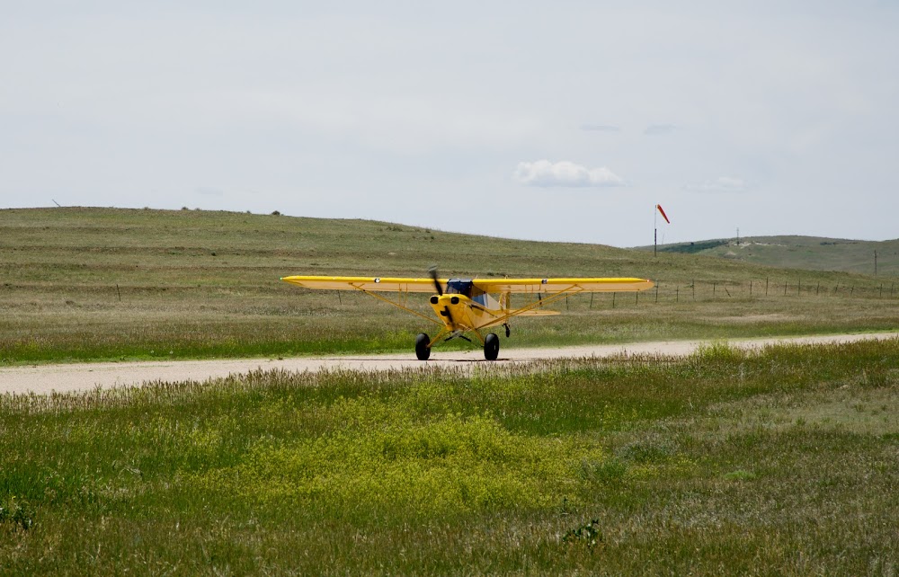
Location:
Calhan, CO
Elevation:
6,450ft
Sectional:
Denver
Activation date:
Jan 1978
Fuel:
None
Runway 17/35:
4,565ft
Access: Open to the public
This airport is privately owned but open to the public.
Click/tap to add an annotation marker to the map
No webcams added yet.
Remarks
- Provided a non-std right-hand tfc pat is conducted to rwy 35.
- S end of ry has side slope. -6 ft ditch 40 ft w of cntrln. ground rises on east side of ry.
- Aerobatic practice area one-half mile w of ry 17/35 300 ft agl to 10000 ft msl.
- Vehicles crossing ry.
- Rwy 17 has 25 ft p-pole 400 ft fm thld, 110 ft r of cntrln.
- Be alert; intensive usaf student training in vicinity of colorado springs & pueblo colorado.
- Ry 17/35 has +15 ft road 110 ft fm & parallel to ry cntrln w side of ry - full length.
- Rwy 35 has 4 ft fence 200 ft fm thld ob; appx 20 ft trees 70 ft west of cntrln for first 500 ft of rwy; appx 25 ft p-line 850 ft fm thld ob; appx 2 ft burm at rwy thld.
Comments