Pirep is a free, collaborative database of all public and private airports. All pilots are welcome to contribute their local knowledge to any airport, no registration required.

Public
Undocumented
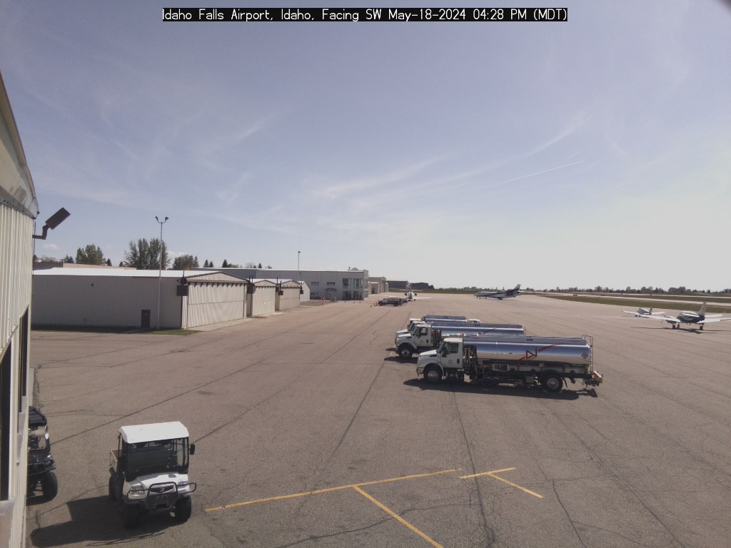
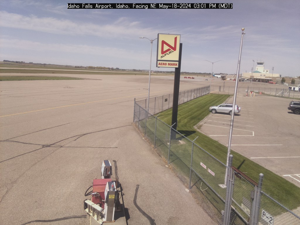
Webcam
METAR / TAF
Edit Tags
No upcoming events. Is anything happening here soon?
Airport Statistics
- Airport map annotations
- Landing & tie-down fees
- Crew car availability
Location:
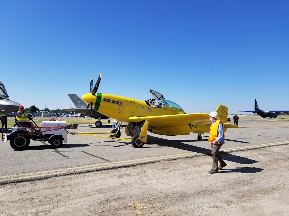
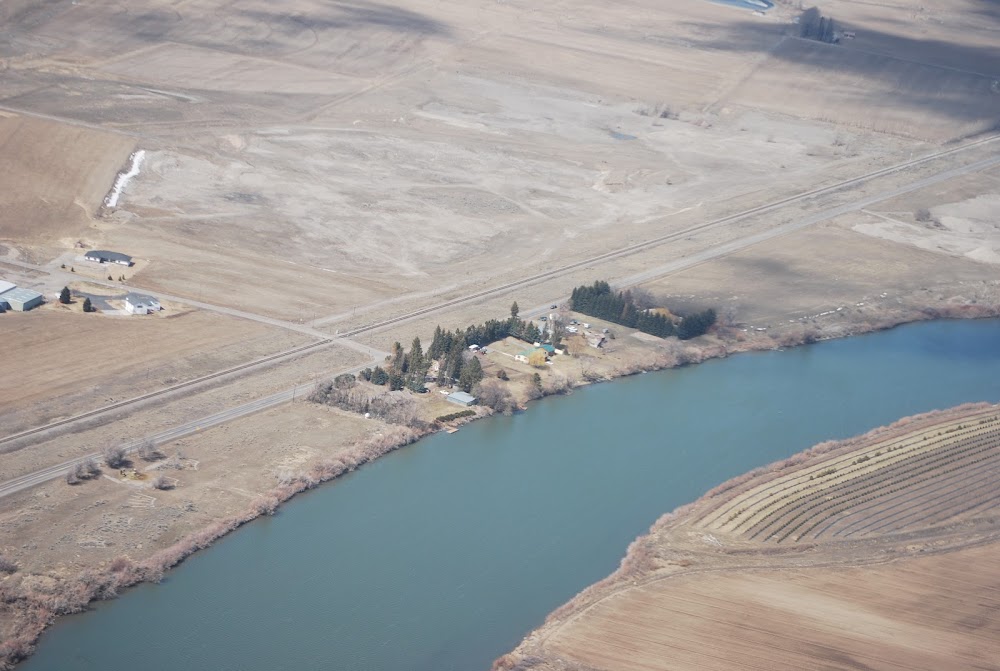
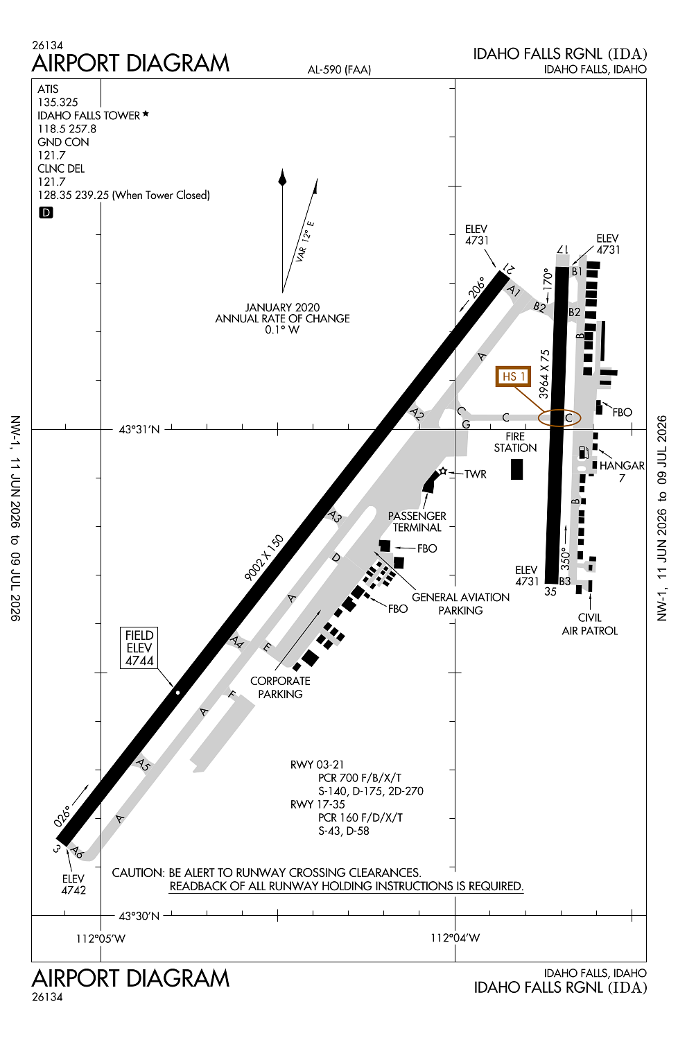
Idaho Falls, ID
Elevation:
4,743ft
Sectional:
Salt Lake City
Activation date:
Apr 1940
Fuel:
100LL, A1 (prices)
Runway 03/21:
9,002ft
Runway 17/35:
3,964ft
Access: Open to the public
Current Weather — VFR
-
Weather data is strictly informational and not for flight planning purposes.
-
METAR2026-07-15 20:53:00 MDT
Ceiling: Sky clear Wind: 080° @ 3kt Temperature: 82°F Dewpoint: 53°F Weather: N/A Visbility: 10SM Raw:METAR KIDA 160253Z AUTO 08003KT 10SM CLR 28/12 A3006 RMK AO2 SLP129 T02830122 55004 -
TAF2026-07-15 18:00:00 MDT – 2026-07-16 01:00:00 MDT
Ceiling: Sky clear Wind: Variable Weather: N/A Visbility: 6SM Clouds: Few @ 15,000ft Raw:TAF KIDA 152326Z 1600/1624 VRB06KT P6SM FEW150 FM160700 01005KT P6SM FEW090 SCT150 FM162000 25008KT P6SM SCT100 -
TAF2026-07-16 01:00:00 MDT – 2026-07-16 14:00:00 MDT
Ceiling: Sky clear Wind: 010° @ 5kt Weather: N/A Visbility: 6SM Clouds: Few @ 9,000ft, Scattered @ 15,000ft Raw:TAF KIDA 152326Z 1600/1624 VRB06KT P6SM FEW150 FM160700 01005KT P6SM FEW090 SCT150 FM162000 25008KT P6SM SCT100 -
TAF2026-07-16 14:00:00 MDT – 2026-07-16 18:00:00 MDT
Ceiling: Sky clear Wind: 250° @ 8kt Weather: N/A Visbility: 6SM Clouds: Scattered @ 10,000ft Raw:TAF KIDA 152326Z 1600/1624 VRB06KT P6SM FEW150 FM160700 01005KT P6SM FEW090 SCT150 FM162000 25008KT P6SM SCT100
Click/tap to add an annotation marker to the map
Remarks
- 24 hr ppr for unsked acr opns with more than 30 pax seats call amgr 208-612-8224.
- Flocks of birds & waterfowl on & invof arpt all year.
- Extsv agricultural opns invof of arpt.
- Acft ops be alert for possible incursions; no line of sight btn rwys.
- Sfc conditions unmonitored 2300-0530.
Comments