Pirep is a free, collaborative database of all public and private airports. All pilots are welcome to contribute their local knowledge to any airport, no registration required.
No upcoming events. Is anything happening here soon?
Last updated: 2024-07-10 01:49:32 MDT
Airport Statistics
Location:
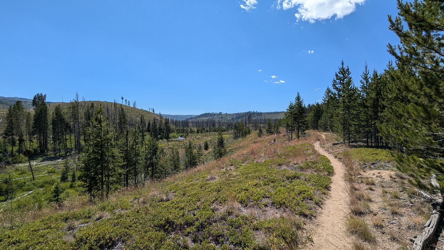
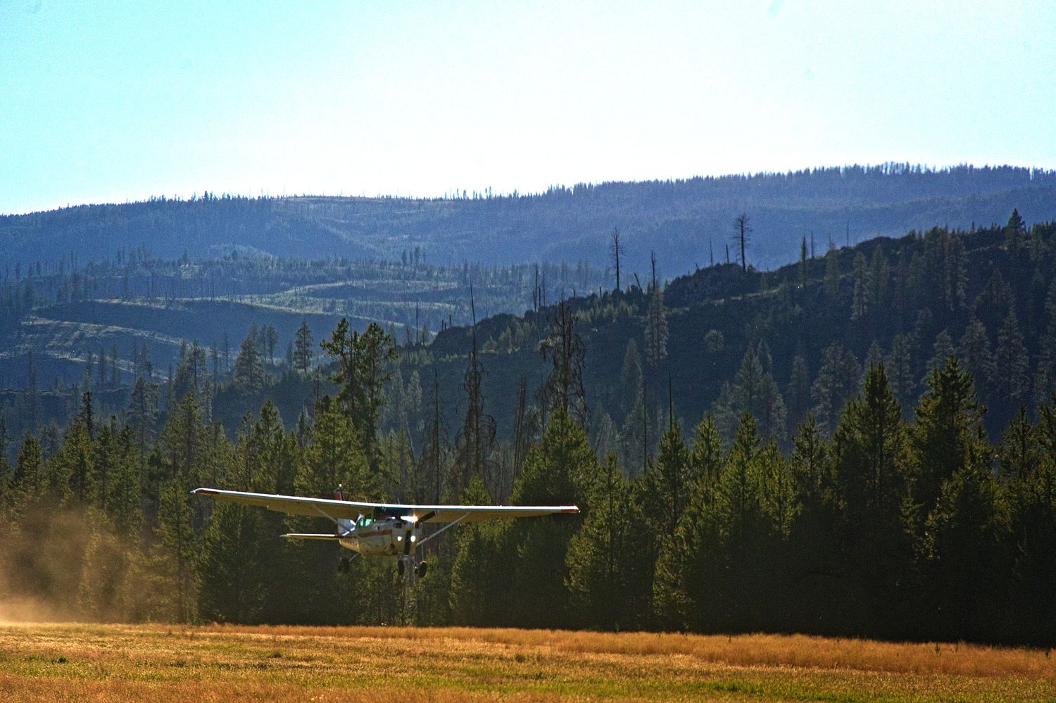
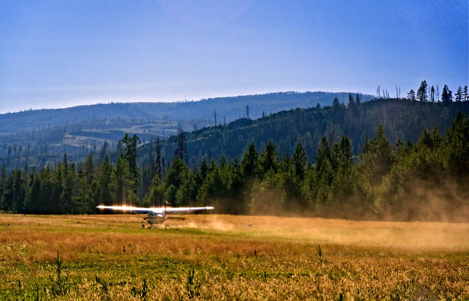
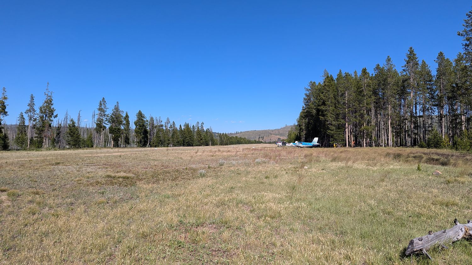
Chamberlain Guard Station, ID
Elevation:
5,765ft
Sectional:
Great Falls
Activation date:
Sep 1941
Fuel:
None
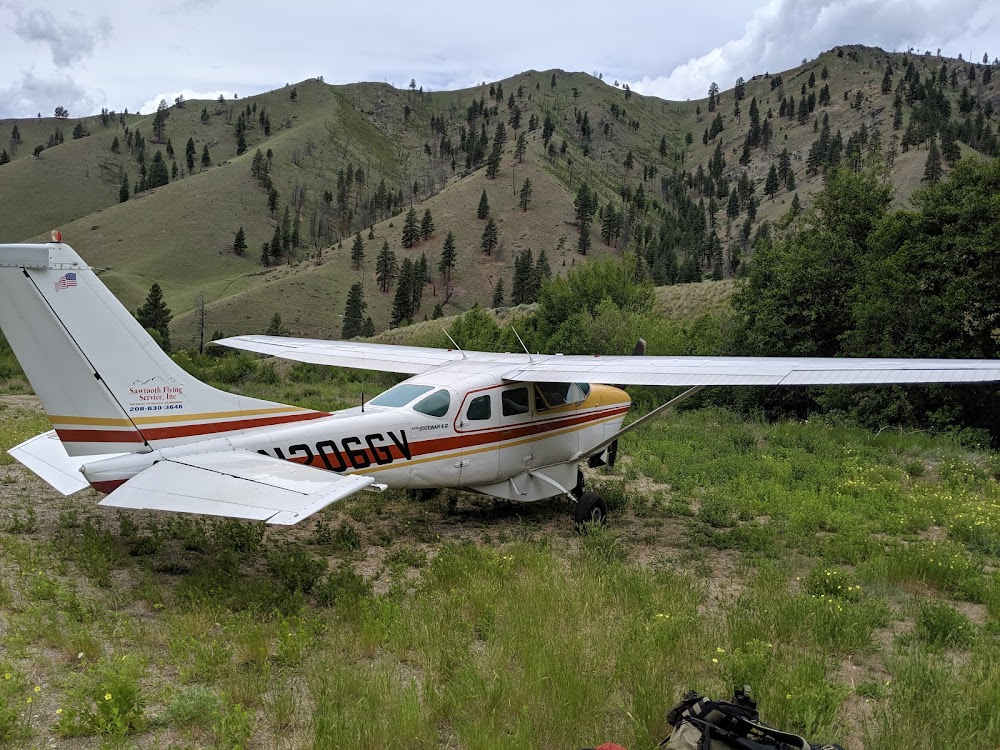
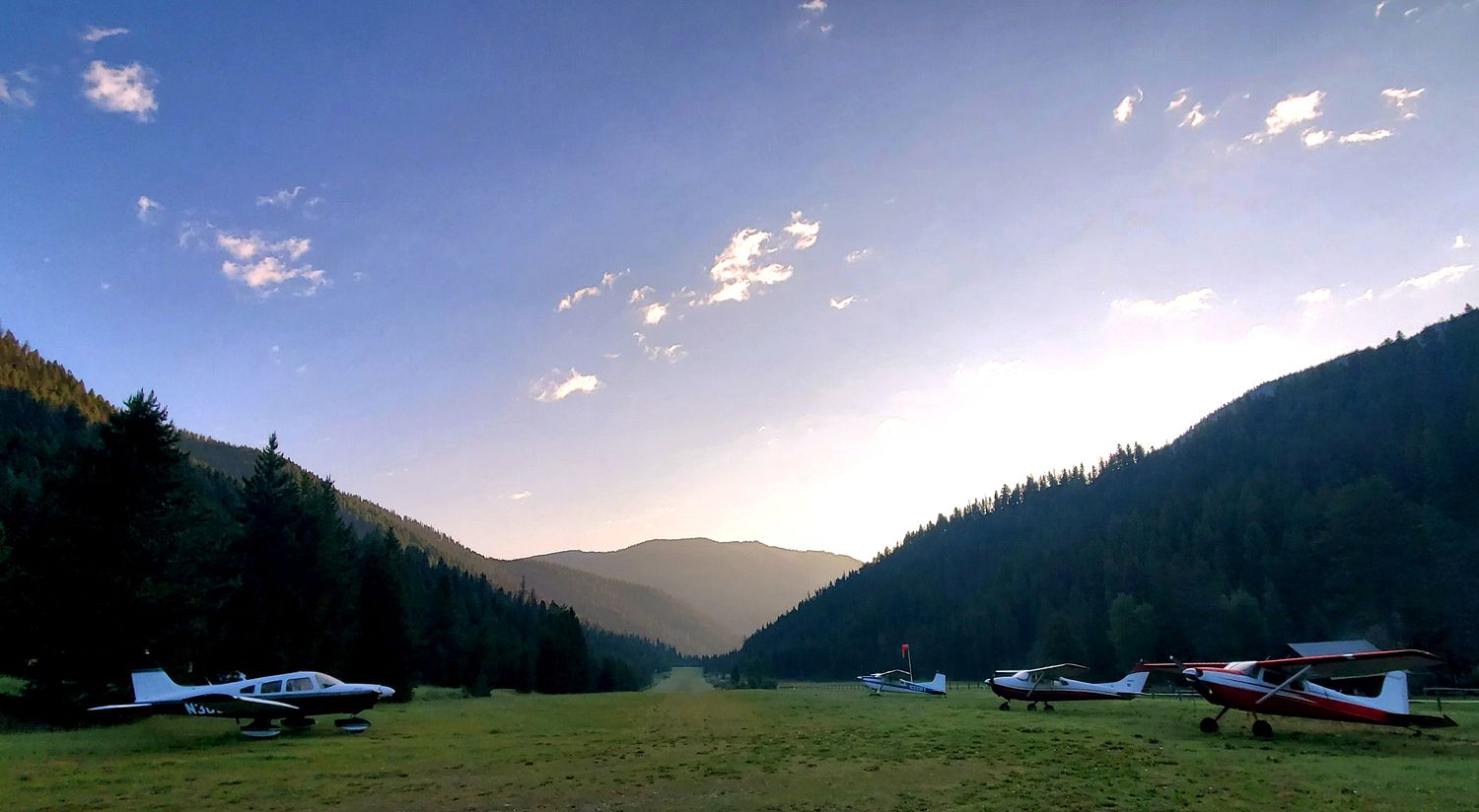
Runway 07/25:
4,100ft
Runway 15/33:
2,700ft
Access: Open to the public
Similar Airports

Click/tap to add an annotation marker to the map
No webcams added yet.
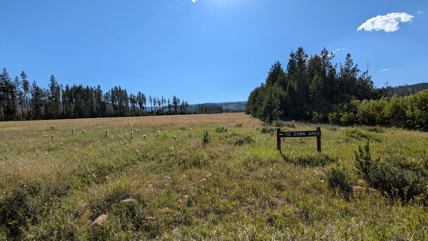
Remarks
- Existed prior to 12/31/58.
- Aprt subj tempo clsd ery spring to soft rwys.
- +70 ft trees adj to all rwy edges.
- Extsv rodent activity on both rwys.
- No fone avbl at arpt.
- Pvt stone breaker arpt located 1 nm ne of chamberlain usfs.
- Rwy 15/33 has +2 ft pipe & -2 ft ditch acrs rwy north of rwy 07/25 int; 1st 300 ft of rwy 33 clsd.
- For cd ctc seattle artcc at 253-351-3694.
Comments