Pirep is a free, collaborative database of all public and private airports. All pilots are welcome to contribute their local knowledge to any airport, no registration required.


Public
Undocumented
Edit Tags
No upcoming events. Is anything happening here soon?
Airport Statistics
- Fuel pump location
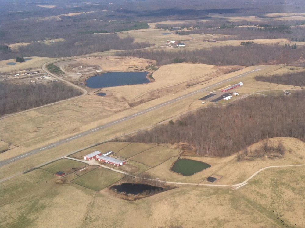
- General description
- Local flying clubs
Location:
Mc Arthur, OH
Elevation:
954ft
Sectional:
Cincinnati
Fuel:
100LL
Runway 09/27:
3,500ft
Access: Open to the public
Click/tap to add an annotation marker to the map
No webcams added yet.
Remarks
- Vfr use only.
- Ocnl deer & geese on & invof arpt.
- For cd ctc indianapolis artcc at 317-247-2411.
- Actvt papi rwy 27; lirl rwy 09/27 - 122.9.
- For fuel call amgr.
- Nstd due to cntrln.
- Trees & brush, 50-200 ft dist, 80 ft l to 125 ft r.
- Wdspr, opn, & unsealed cracks.
Comments