Pirep is a free, collaborative database of all public and private airports. All pilots are welcome to contribute their local knowledge to any airport, no registration required.
Public
Undocumented
Edit Tags
No upcoming events. Is anything happening here soon?
Airport Statistics
- Landing & tie-down fees
- Fuel pump location
- Airport photos
Location:
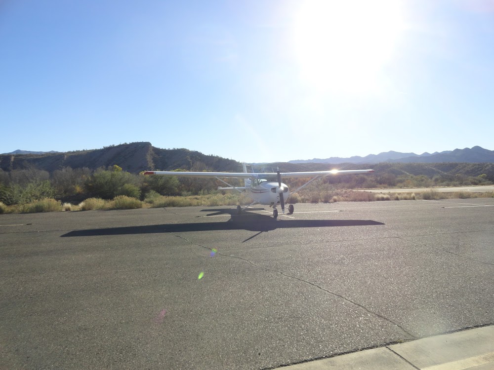
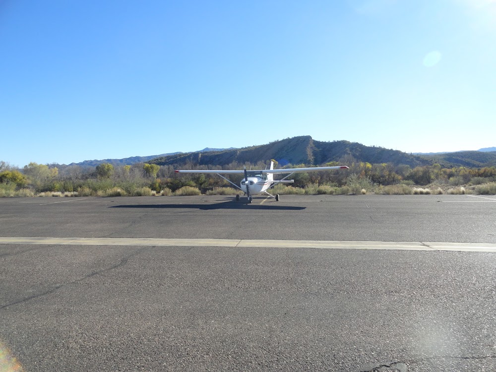
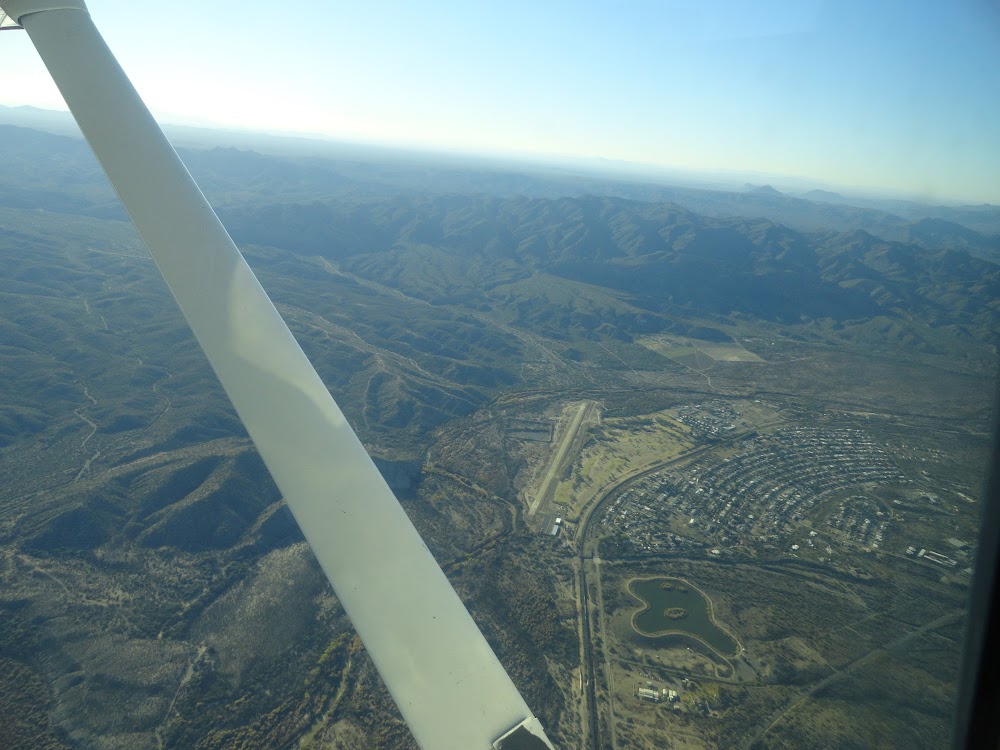
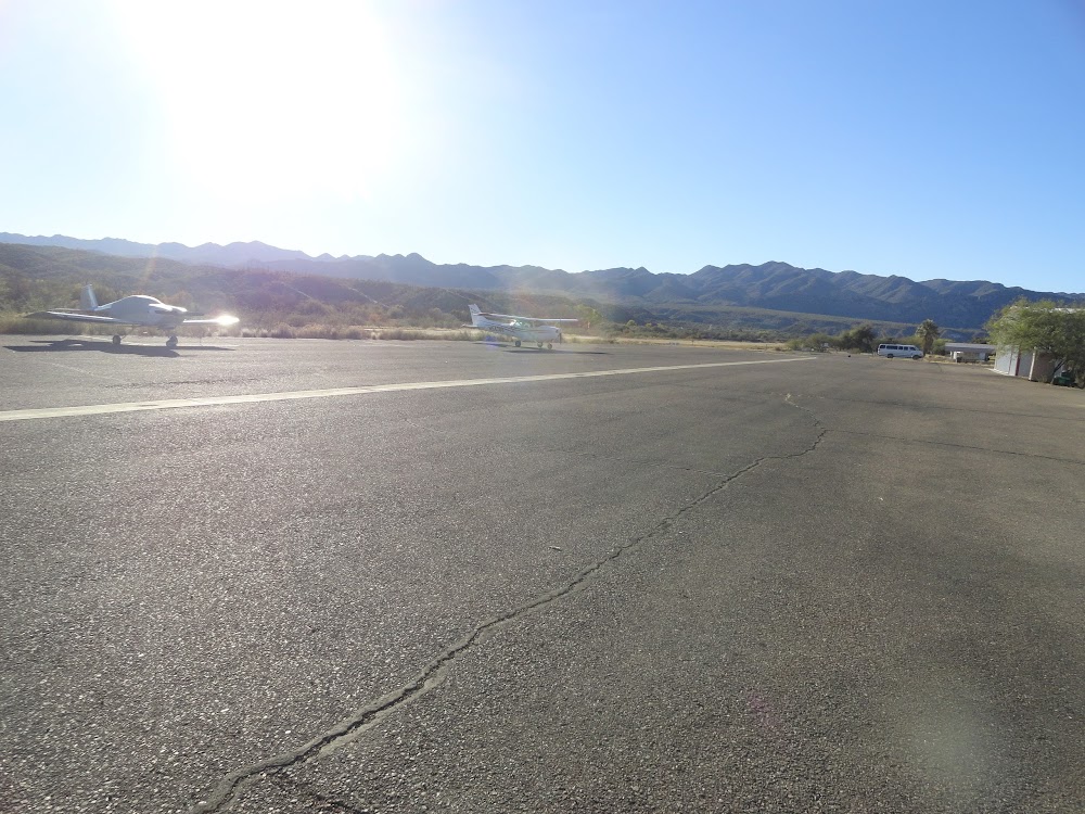
Kearny, AZ
Elevation:
1,833ft
Sectional:
Phoenix
Activation date:
May 1962
Fuel:
None
Runway 08/26:
3,400ft
Access: Open to the public
Click/tap to add an annotation marker to the map
No webcams added yet.
Remarks
- Vfr conditions only.
- Birds, wildflife & mil ops invof arpt.
- Expect turbulence on rwy 26 apch with wind from n and on dep rwy 26.
- Rapidly rising trrn all quads exc se.
- Lgt na; night ops not rcmdd.
- Fence 270 ft l/r off rwy 26 end.
- Fence 240 ft l/r off rwy 08 end.
- Ditch both sides rwy 08 end, 60 ft l/r of centerline with 6 ft drops.
Comments