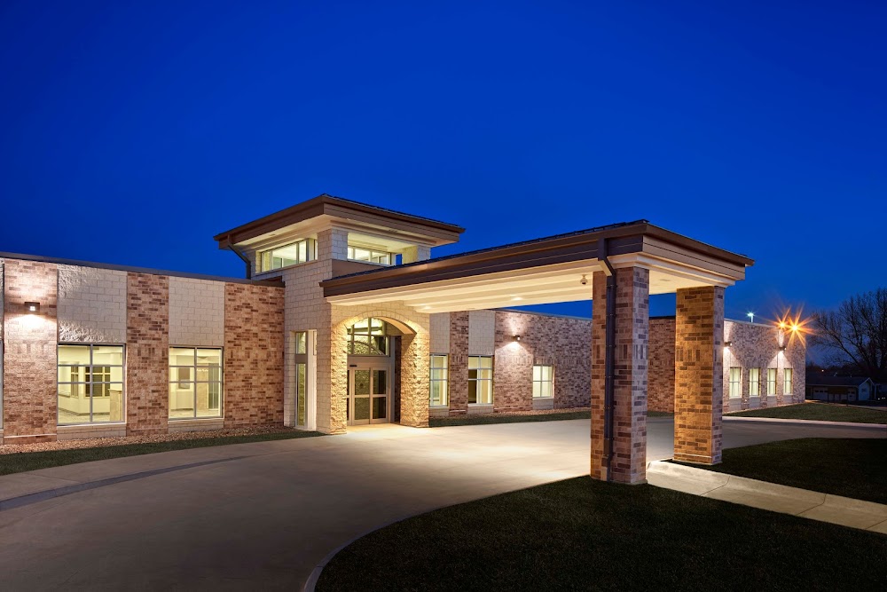
Pirep is a free, collaborative database of all public and private airports. All pilots are welcome to contribute their local knowledge to any airport, no registration required.
Private
Undocumented
Edit Tags
No upcoming events. Is anything happening here soon?
Airport Statistics
- Landing & tie-down fees
- Transient parking location
- Airport map annotations
Location:
Leon, IA
Elevation:
1,100ft
Sectional:
Omaha
Activation date:
Feb 1992
Fuel:
None
Runway H1:
50ft
Access: Private to everyone
Is this airport privately owned but open to the public with or without restrictions? Or perhaps the owner is simply happy for pilots to stop by with prior permission?
Click/tap to add an annotation marker to the map
No webcams added yet.
Remarks
- Prvdd clear apch/dep paths for min 8:1 glide slope; clear transitional sfc for min 2:1; pline and poles mdk with day-glo orange marker balls; remove light pole immediately south of pad.
- Medical use.
- For cd ctc minneapolis artcc at 651-463-5588.
- Michael johnson, cco 641-446-2312; mjohnson@d-c-h.org
- +30 ft flag pole 75 ft south and +30 ft light pole 50 ft south.
Comments