Pirep is a free, collaborative database of all public and private airports. All pilots are welcome to contribute their local knowledge to any airport, no registration required.
Public
Undocumented
Edit Tags
No upcoming events. Is anything happening here soon?
Airport Statistics
- Local flying clubs
- Crew car availability
- General description
Location:
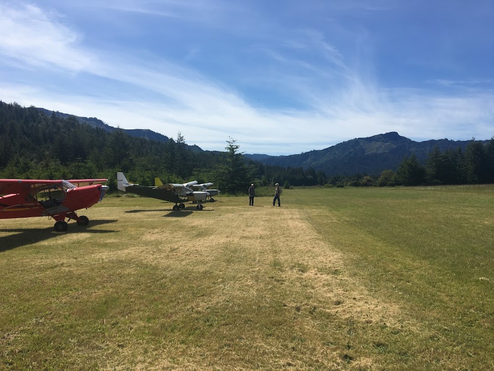
Powers, OR
Elevation:
326ft
Sectional:
Klamath Falls
Activation date:
Jan 1961
Fuel:
None
Runway 13/31:
2,500ft
Access: Open to the public
Click/tap to add an annotation marker to the map
No webcams added yet.
Remarks
- Arpt in valley surrounded by high terrain.
- Livestock and wildlife on & invof of arpt.
- For cd ctc seattle artcc at 253-351-3694.
- Rwy 31 has 25 ft trees wi 35 ft of cntrln alg edge to 1700 ft fm thr.
- Runway end not marked
- Rwy 31 thld mkd with white tires.
Comments