Pirep is a free, collaborative database of all public and private airports. All pilots are welcome to contribute their local knowledge to any airport, no registration required.
No upcoming events. Is anything happening here soon?
Last updated: 2023-07-06 22:17:11 EDT
Airport Statistics
- Webcam links
- Fuel pump location
- Airport photos
Location:
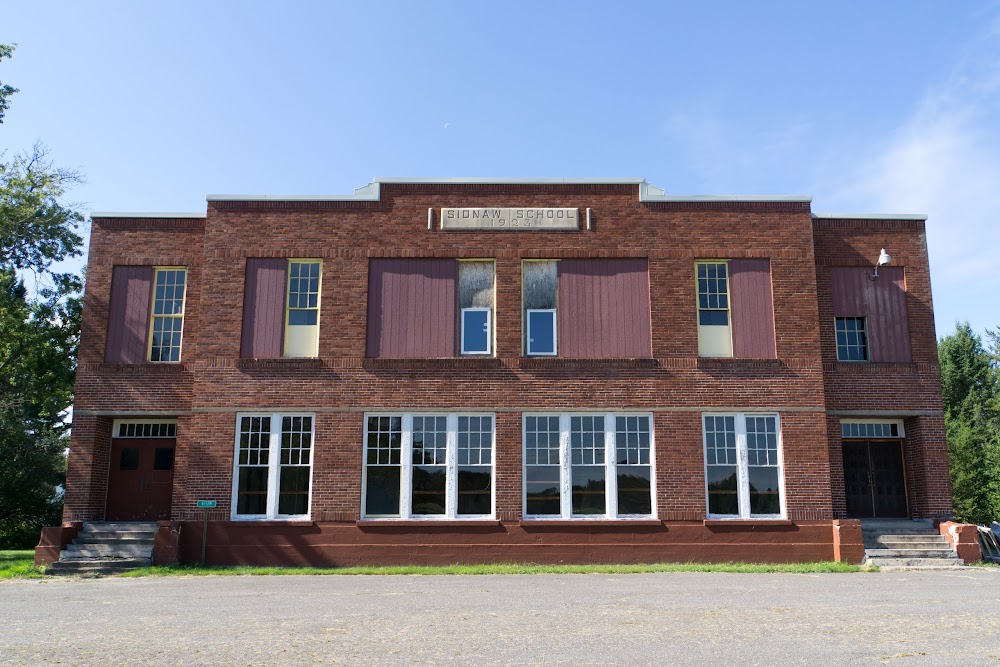
Sidnaw, MI
Elevation:
1,377ft
Sectional:
Green Bay
Activation date:
Apr 1940
Fuel:
None
Runway 10/28:
2,600ft
Access: Open to the public
This airport is privately owned but open to the public.
Similar Airports
Click/tap to add an annotation marker to the map
No webcams added yet.
Remarks
- Prvdd area 125 ft either side ry cntrln & 200 ft of each end clear of obstn; area 60 ft either side ry cntrln & 240 ft off each end suitable for reducing risk of acft damage in the event acft runs off ry;
- Arpt clsd nov-may 15 & when snow covd exc for ski equipped acft - rwy not plowed.
- Camping & cabins adjacent, ph 906-355-2480.
- Pilot shelter aces: 1-2-0-0.
- Deer, birds, & wildlife on & invof arpt.
- Arpt is near mtr vr 1639 & ir 609 & underlies big bear moa. low level, high speed mil acft opr in vcnty.
- For cd ctc minneapolis artcc at 651-463-5588.
- Southern houghton county airport & heritage association.
Comments
