Pirep is a free, collaborative database of all public and private airports. All pilots are welcome to contribute their local knowledge to any airport, no registration required.
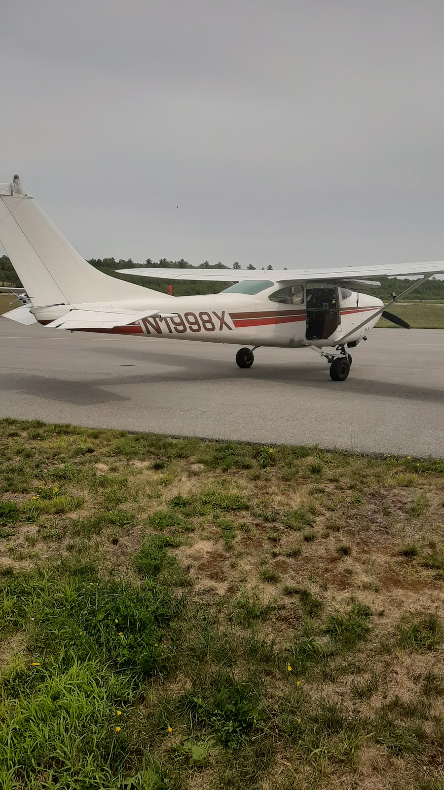
Public
Undocumented
METAR / TAF
Webcam
Edit Tags
No upcoming events. Is anything happening here soon?
Airport Statistics
- Tags
- Fuel pump location
- Transient parking location
Location:
Millinocket, ME
Elevation:
408ft
Sectional:
Halifax
Activation date:
Apr 1940
Fuel:
100LL, A
Runway 11/29:
4,713ft
Runway 16/34:
4,000ft
Access: Open to the public
Current Weather — VFR
-
Weather data is strictly informational and not for flight planning purposes.
-
METAR2026-10-08 21:53:00 EDT
Ceiling: Sky clear Wind: Calm Temperature: 44°F Dewpoint: 44°F Weather: N/A Visbility: 10SM Clouds: Few @ 5,500ft, Scattered @ 7,000ft Raw:METAR KMLT 090153Z AUTO 00000KT 10SM FEW055 SCT070 07/07 A2983 RMK AO2 SLP108 T00720067
Click/tap to add an annotation marker to the map
Remarks
- Existed prior to 1959.
- Rwy 16/34 clsd winter months excp ski acft; snowbank crosses intxn rwy 16/34 at rwy 11/29 & along 1000 ft twy plowed cntr of rwy 16/34 fm intxn to south twy to ramp.
- Wildlife on and invof arpt.
- +782 ft msl com/air qlty mnt twr lctd aprxly 5200 ft fm thr of rwy 11 at 247 degs.
- For cd if una to ctc on fss freq, ctc boston artcc at 603-879-6859 .
- Actvt reil rwy 29; vasi rwy 29; mirl rwy 11/29 - ctaf.
- Call 207-723-6649 for avbl.
- Paja to 10500 ft 0700 - ss dly.
Comments