Pirep is a free, collaborative database of all public and private airports. All pilots are welcome to contribute their local knowledge to any airport, no registration required.
No upcoming events. Is anything happening here soon?
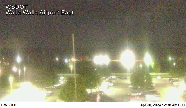
Last updated: 2025-07-08 21:53:28 PDT
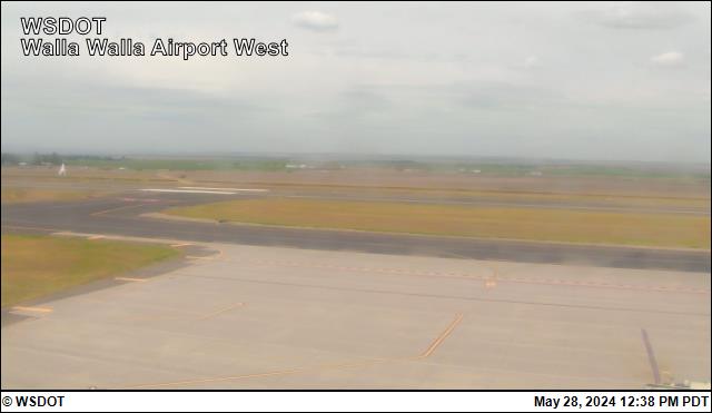
Last updated: 2025-07-08 22:01:52 PDT
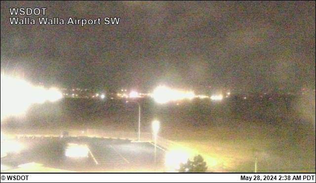
Last updated: 2025-07-08 22:01:52 PDT
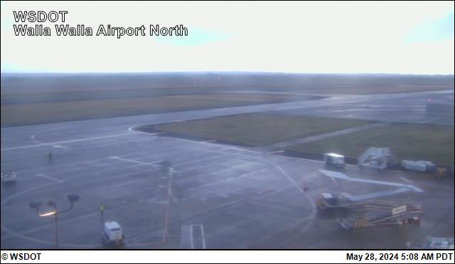
Last updated: 2025-07-08 21:53:28 PDT
Airport Statistics
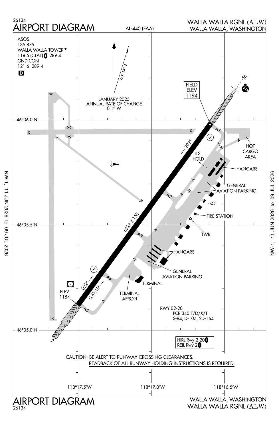
Location:
Walla Walla, WA
Elevation:
1,194ft
Sectional:
Seattle
Activation date:
Oct 1937
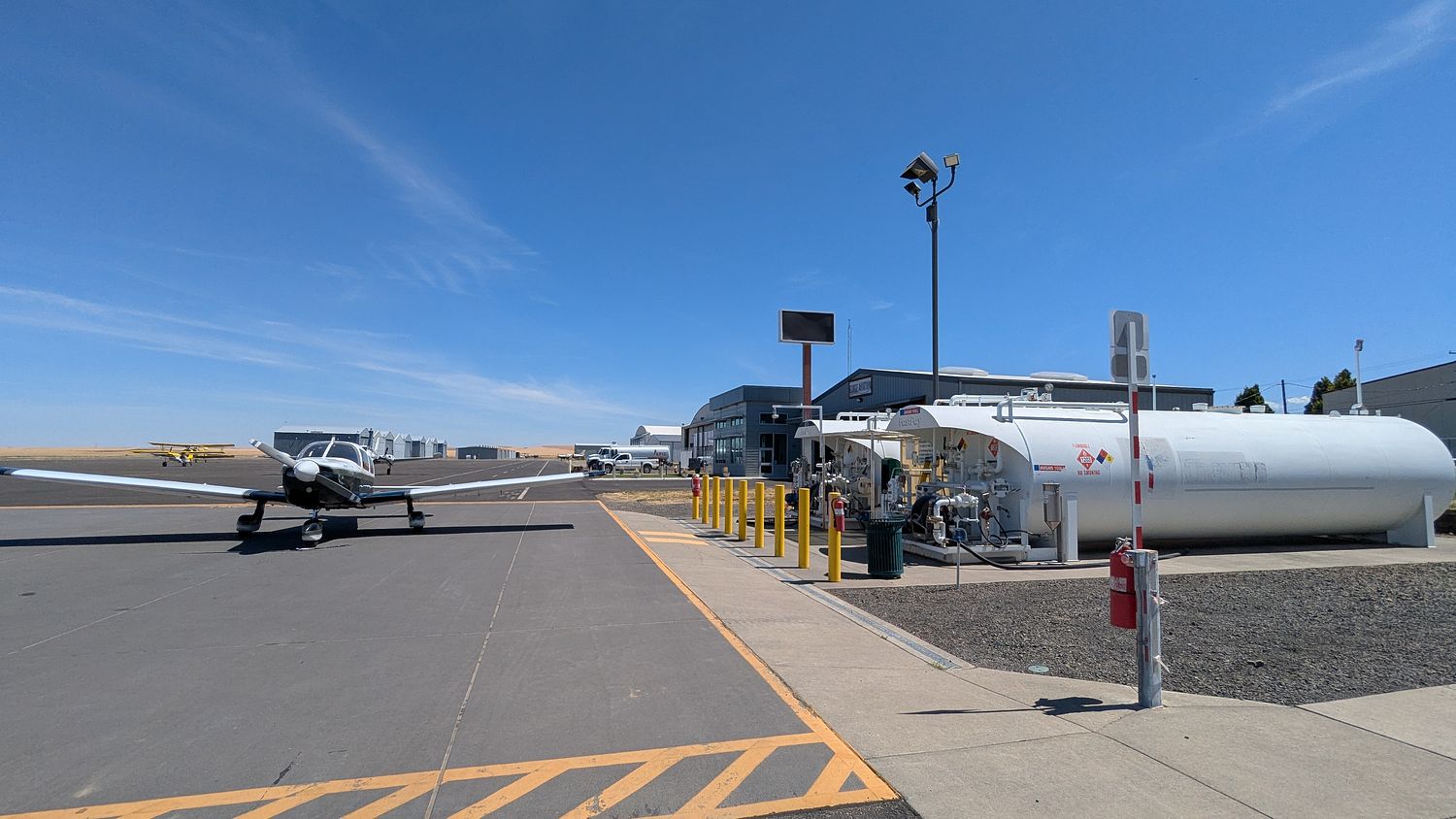
Fuel:
100LL, A (prices)
Runway 02/20:
6,527ft
Access: Open to the public
Similar Airports
Current Weather — VFR
-
Weather data is strictly informational and not for flight planning purposes.
-
METAR2026-07-24 11:53:00 PDT
Ceiling: Sky clear Wind: 240° @ 7kt Temperature: 87°F Dewpoint: 51°F Weather: Smoke Visbility: 10SM Raw:METAR KALW 241853Z 24007KT 10SM FU CLR 31/11 A2989 RMK AO2 SLP112 T03060106 -
TAF2026-07-24 11:00:00 PDT – 2026-07-24 21:00:00 PDT
Ceiling: Sky clear Wind: 230° @ 7kt Weather: N/A Visbility: 6SM Clouds: @ ft Raw:TAF KALW 241726Z 2418/2518 23007KT P6SM SKC FM250400 18009KT P6SM SKC FM251700 23010KT P6SM SKC -
TAF2026-07-24 21:00:00 PDT – 2026-07-25 10:00:00 PDT
Ceiling: Sky clear Wind: 180° @ 9kt Weather: N/A Visbility: 6SM Clouds: @ ft Raw:TAF KALW 241726Z 2418/2518 23007KT P6SM SKC FM250400 18009KT P6SM SKC FM251700 23010KT P6SM SKC -
TAF2026-07-25 10:00:00 PDT – 2026-07-25 11:00:00 PDT
Ceiling: Sky clear Wind: 230° @ 10kt Weather: N/A Visbility: 6SM Clouds: @ ft Raw:TAF KALW 241726Z 2418/2518 23007KT P6SM SKC FM250400 18009KT P6SM SKC FM251700 23010KT P6SM SKC
Click/tap to add an annotation marker to the map
Remarks
- Estabd prior to may 1959.
- Arff svcs avbl during scheduled acr ops. clsd to unsked acr opns with more than 30 psgr seats excp ppr call amgr 509-525-3100.
- Sfc conds unmon 0000-0300.
- 24 hr fuel svc call 509-540-1081.
- Ptn of corner at twy a & twy a1 not vsb by twr.
Comments