Pirep is a free, collaborative database of all public and private airports. All pilots are welcome to contribute their local knowledge to any airport, no registration required.
Public
Undocumented
METAR / TAF
Edit Tags
No upcoming events. Is anything happening here soon?
Airport Statistics
- Airport map annotations
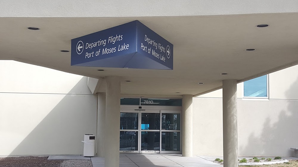
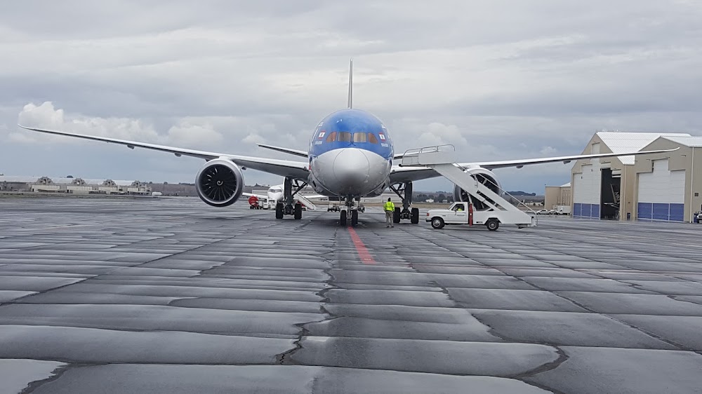
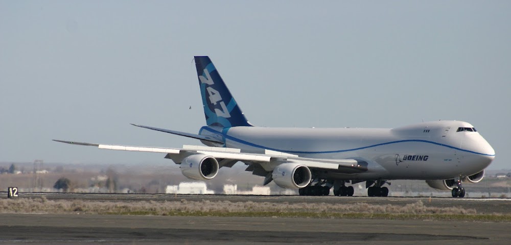
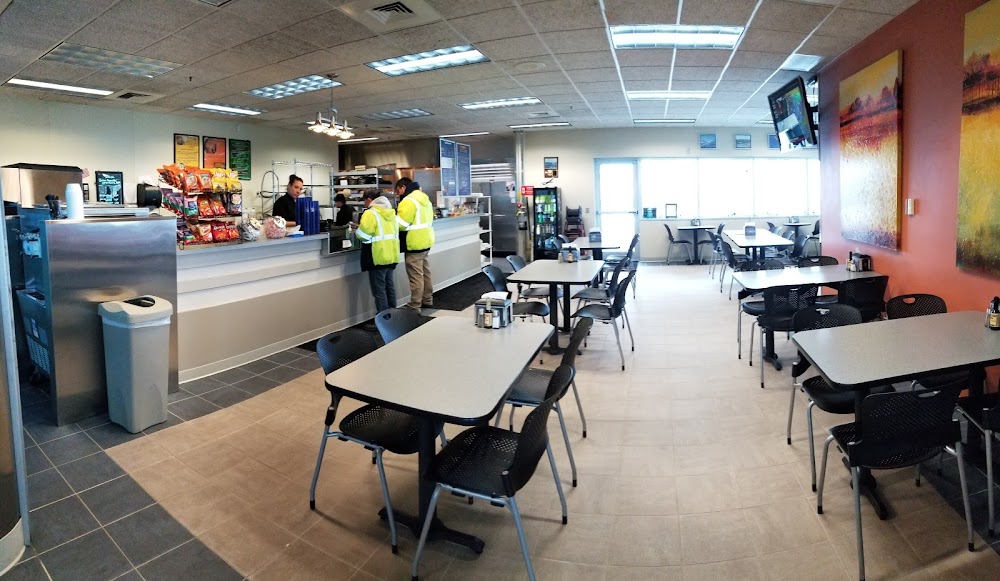
- Airport photos
- Landing & tie-down fees
Location:
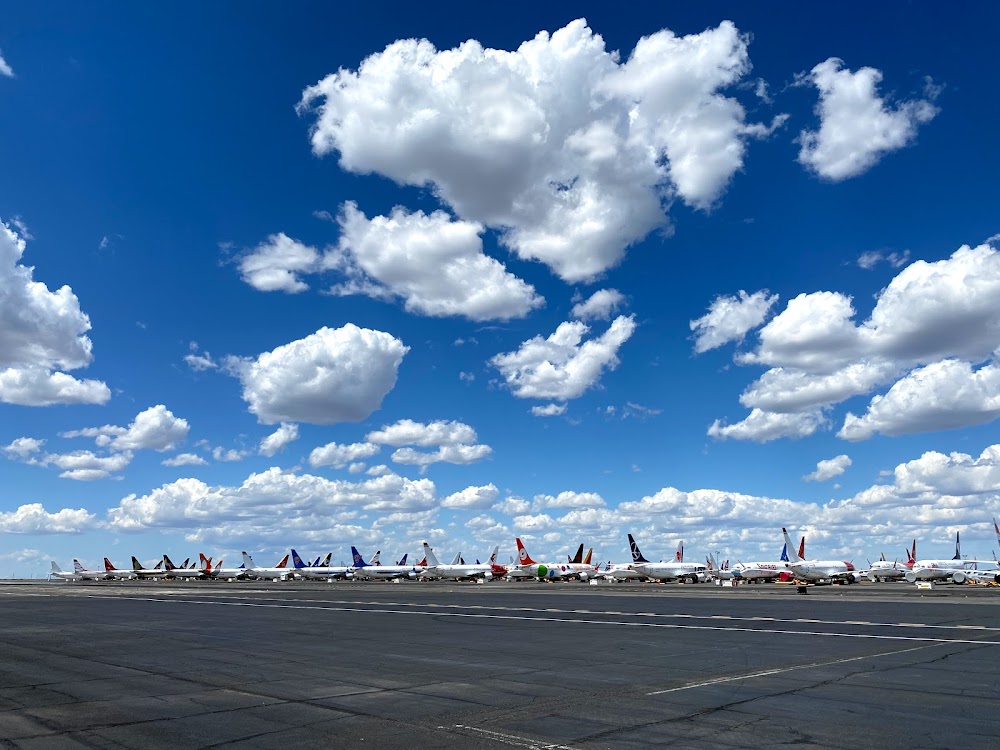
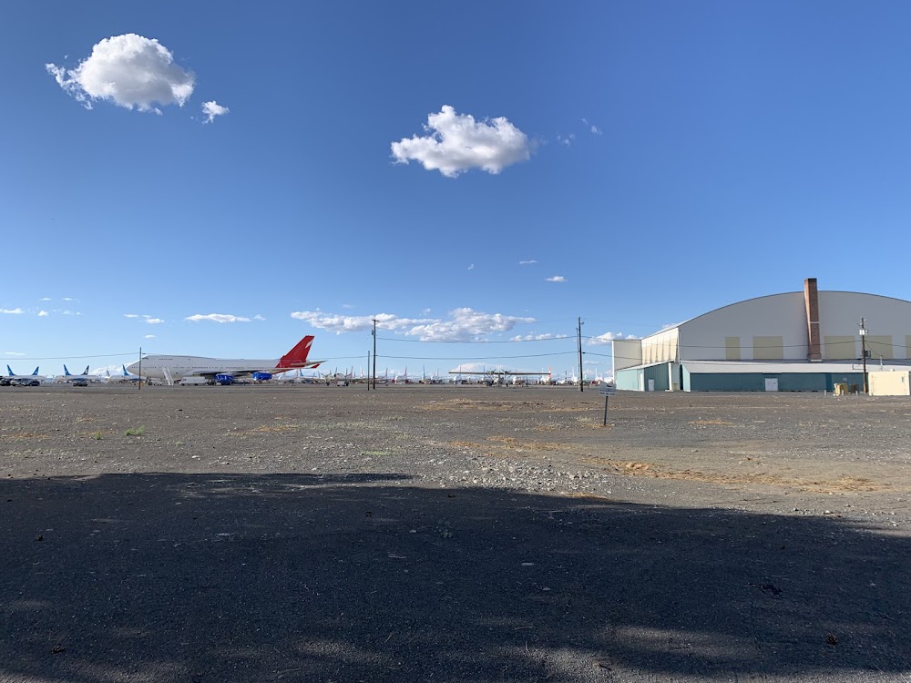
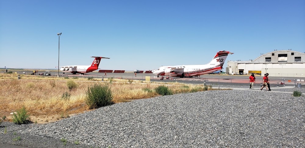
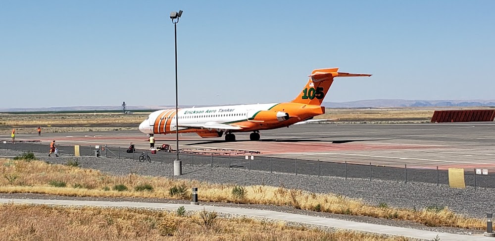
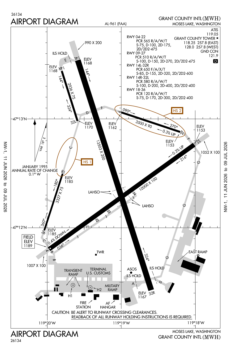
Moses Lake, WA
Elevation:
1,188ft
Sectional:
Seattle
Fuel:
100LL, A, A1+ (prices)
Runway 14L/32R:
13,503ft
Runway 04/22:
10,000ft
Runway 09/27:
3,500ft
Runway 18/36:
3,327ft
Runway 14R/32L:
2,936ft
Runway H1:
50ft
Runway H2:
50ft
Access: Open to the public
Current Weather — VFR
-
Weather data is strictly informational and not for flight planning purposes.
-
METAR2026-07-01 14:52:00 PDT
Ceiling: Sky clear Wind: 180° @ 7kt Temperature: 75°F Dewpoint: 41°F Weather: N/A Visbility: 10SM Raw:METAR KMWH 012152Z 18007KT 10SM CLR 24/05 A2990 RMK AO2 SLP120 T02390050 -
TAF2026-07-01 11:00:00 PDT – 2026-07-01 12:00:00 PDT
Ceiling: Sky clear Wind: 190° @ 5kt Weather: N/A Visbility: 6SM Clouds: Scattered @ 7,000ft Raw:TAF KMWH 011735Z 0118/0218 19005KT P6SM SCT070 FM011900 20008KT P6SM FEW070 SCT250 FM020000 22008KT P6SM SCT250 FM021300 17004KT P6SM FEW250 -
TAF2026-07-01 12:00:00 PDT – 2026-07-01 17:00:00 PDT
Ceiling: Sky clear Wind: 200° @ 8kt Weather: N/A Visbility: 6SM Clouds: Few @ 7,000ft, Scattered @ 25,000ft Raw:TAF KMWH 011735Z 0118/0218 19005KT P6SM SCT070 FM011900 20008KT P6SM FEW070 SCT250 FM020000 22008KT P6SM SCT250 FM021300 17004KT P6SM FEW250 -
TAF2026-07-01 17:00:00 PDT – 2026-07-02 06:00:00 PDT
Ceiling: Sky clear Wind: 220° @ 8kt Weather: N/A Visbility: 6SM Clouds: Scattered @ 25,000ft Raw:TAF KMWH 011735Z 0118/0218 19005KT P6SM SCT070 FM011900 20008KT P6SM FEW070 SCT250 FM020000 22008KT P6SM SCT250 FM021300 17004KT P6SM FEW250 -
TAF2026-07-02 06:00:00 PDT – 2026-07-02 11:00:00 PDT
Ceiling: Sky clear Wind: 170° @ 4kt Weather: N/A Visbility: 6SM Clouds: Few @ 25,000ft Raw:TAF KMWH 011735Z 0118/0218 19005KT P6SM SCT070 FM011900 20008KT P6SM FEW070 SCT250 FM020000 22008KT P6SM SCT250 FM021300 17004KT P6SM FEW250
Click/tap to add an annotation marker to the map
No webcams added yet.
Remarks
- Ppr for acr ops gtr than 30 pax seats 2200-0600 - 509-762-5363. arff dep index d h24.
- Birds invof arpt apr & oct.
- Hvy jet trng sfc-5000 ft wi 25 mi; psbl wake turb fm rwy 09/27 & 14l/32r ops.
- Ry 18/36 avbl as air carrier twy movement area only.
- Twy g unlgtd.
Comments