Pirep is a free, collaborative database of all public and private airports. All pilots are welcome to contribute their local knowledge to any airport, no registration required.
Airport Statistics
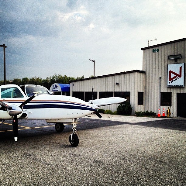
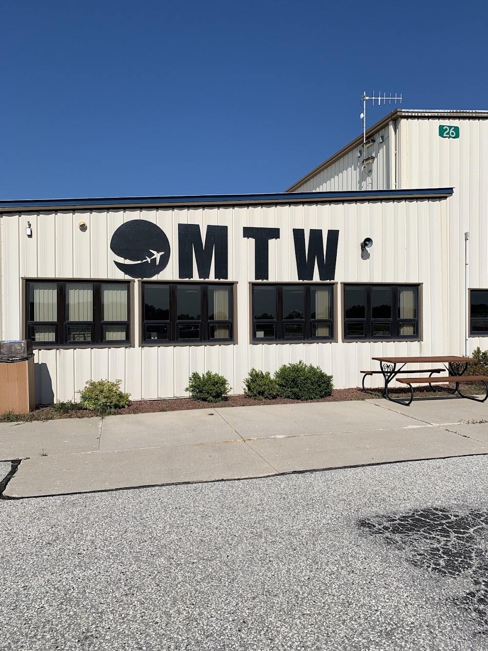
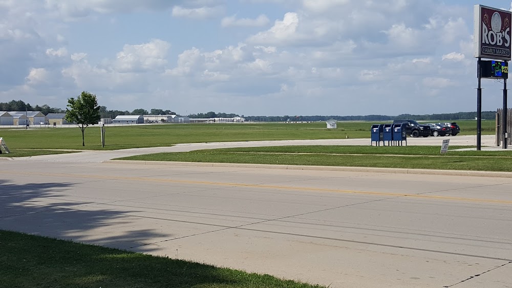
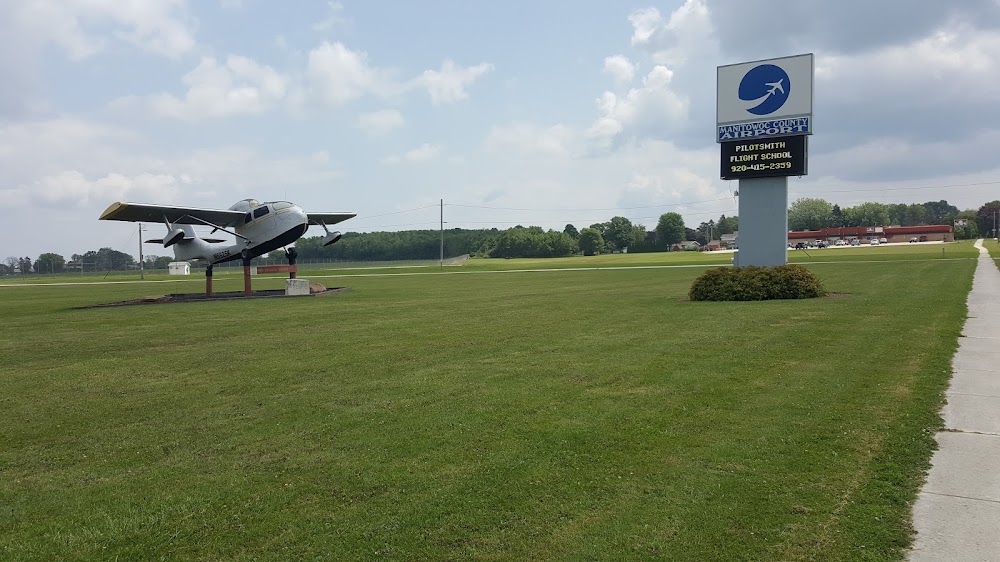
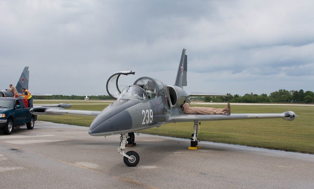
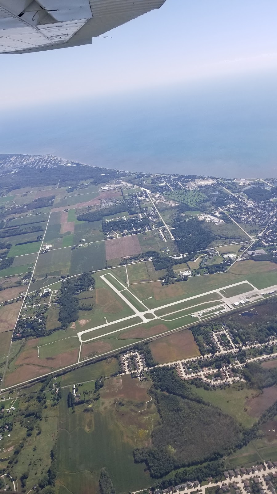
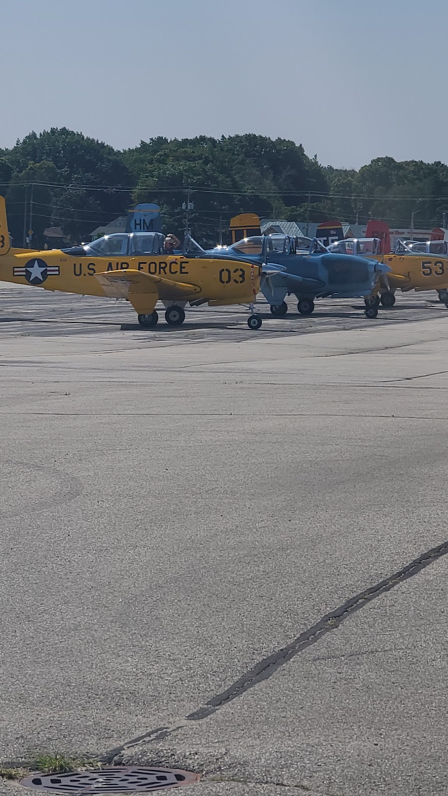
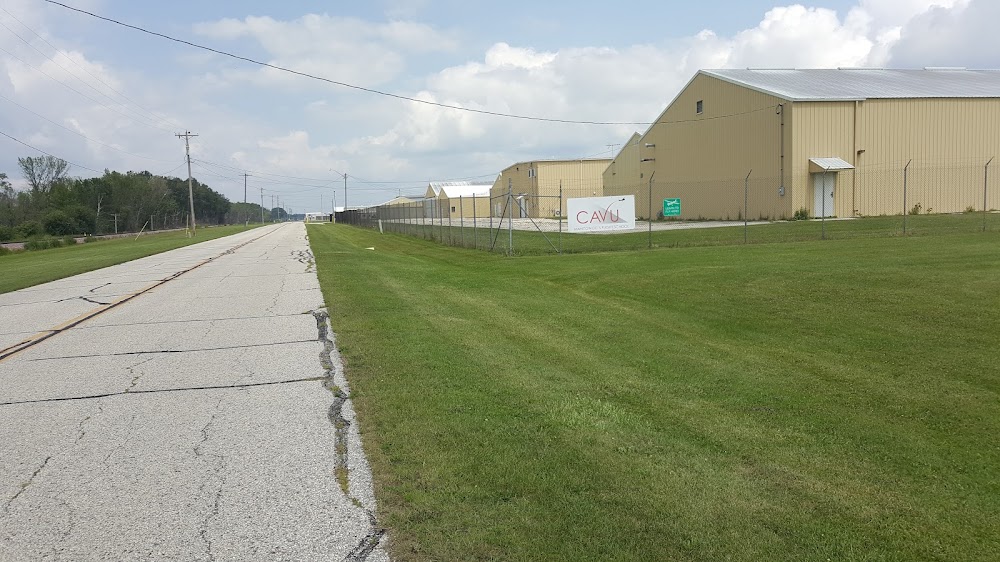
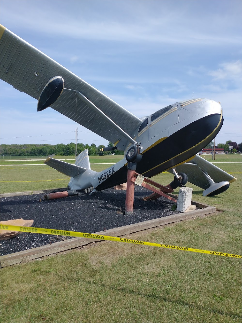
- Airport photos
- Tags
- Crew car availability
Location:
Manitowoc, WI
Elevation:
650ft
Sectional:
Green Bay
Activation date:
Oct 1937
Fuel:
100LL, A+, MOGAS (prices)
Runway 17/35:
5,001ft
Runway 07/25:
3,341ft
Access: Open to the public
Current Weather — VFR
-
Weather data is strictly informational and not for flight planning purposes.
-
METAR2026-06-30 14:56:00 CDT
Ceiling: Sky clear Wind: 170° @ 19kt, gusts 25kt Temperature: 87°F Dewpoint: 77°F Weather: N/A Visbility: 10SM Raw:METAR KMTW 301956Z AUTO 17019G25KT 10SM CLR 31/25 A2979 RMK AO2 SLP084 T03110250 $ -
TAF2026-06-30 13:00:00 CDT – 2026-06-30 19:00:00 CDT
Ceiling: Sky clear Wind: 210° @ 8kt Weather: N/A Visbility: 6SM Clouds: Scattered @ 2,800ft Raw:TAF KMTW 301739Z 3018/0118 21008KT P6SM SCT028 FM010000 23010G18KT P6SM -TSRA SCT025 BKN080CB FM010300 21008G16KT P6SM BKN150 FM010800 23006KT P6SM BKN100 FM011400 24008KT P6SM -TSRA BKN050CB FM011700 23010KT P6SM SCT100 -
TAF2026-06-30 19:00:00 CDT – 2026-06-30 22:00:00 CDT
Ceiling: 8,000ft Wind: 230° @ 10kt, gusts 18kt Weather: Light thunderstorm rain Visbility: 6SM Clouds: Scattered @ 2,500ft, Broken @ 8,000ft Raw:TAF KMTW 301739Z 3018/0118 21008KT P6SM SCT028 FM010000 23010G18KT P6SM -TSRA SCT025 BKN080CB FM010300 21008G16KT P6SM BKN150 FM010800 23006KT P6SM BKN100 FM011400 24008KT P6SM -TSRA BKN050CB FM011700 23010KT P6SM SCT100 -
TAF2026-06-30 22:00:00 CDT – 2026-07-01 03:00:00 CDT
Ceiling: 15,000ft Wind: 210° @ 8kt, gusts 16kt Weather: N/A Visbility: 6SM Clouds: Broken @ 15,000ft Raw:TAF KMTW 301739Z 3018/0118 21008KT P6SM SCT028 FM010000 23010G18KT P6SM -TSRA SCT025 BKN080CB FM010300 21008G16KT P6SM BKN150 FM010800 23006KT P6SM BKN100 FM011400 24008KT P6SM -TSRA BKN050CB FM011700 23010KT P6SM SCT100 -
TAF2026-07-01 03:00:00 CDT – 2026-07-01 09:00:00 CDT
Ceiling: 10,000ft Wind: 230° @ 6kt Weather: N/A Visbility: 6SM Clouds: Broken @ 10,000ft Raw:TAF KMTW 301739Z 3018/0118 21008KT P6SM SCT028 FM010000 23010G18KT P6SM -TSRA SCT025 BKN080CB FM010300 21008G16KT P6SM BKN150 FM010800 23006KT P6SM BKN100 FM011400 24008KT P6SM -TSRA BKN050CB FM011700 23010KT P6SM SCT100 -
TAF2026-07-01 09:00:00 CDT – 2026-07-01 12:00:00 CDT
Ceiling: 5,000ft Wind: 240° @ 8kt Weather: Light thunderstorm rain Visbility: 6SM Clouds: Broken @ 5,000ft Raw:TAF KMTW 301739Z 3018/0118 21008KT P6SM SCT028 FM010000 23010G18KT P6SM -TSRA SCT025 BKN080CB FM010300 21008G16KT P6SM BKN150 FM010800 23006KT P6SM BKN100 FM011400 24008KT P6SM -TSRA BKN050CB FM011700 23010KT P6SM SCT100 -
TAF2026-07-01 12:00:00 CDT – 2026-07-01 13:00:00 CDT
Ceiling: Sky clear Wind: 230° @ 10kt Weather: N/A Visbility: 6SM Clouds: Scattered @ 10,000ft Raw:TAF KMTW 301739Z 3018/0118 21008KT P6SM SCT028 FM010000 23010G18KT P6SM -TSRA SCT025 BKN080CB FM010300 21008G16KT P6SM BKN150 FM010800 23006KT P6SM BKN100 FM011400 24008KT P6SM -TSRA BKN050CB FM011700 23010KT P6SM SCT100
Click/tap to add an annotation marker to the map
No webcams added yet.
Remarks
- Geese & numerous birds on & invof arpt.
- Hirl rwy 17/35 preset to low ss-sr; to incr intst and actvt malsr rwy 17; reil rwy 35; papi rwy 17 & 35; hirl rwy 17/35; mirl rwy 07/25 - ctaf.
- 24 hr self svc fuel avbl with credit card.
- Aft hrs ctc amgr.
Comments