Pirep is a free, collaborative database of all public and private airports. All pilots are welcome to contribute their local knowledge to any airport, no registration required.
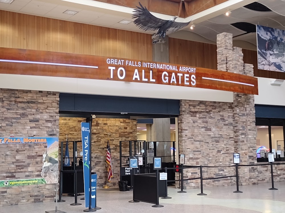
Attribution:
Daniel Cruces
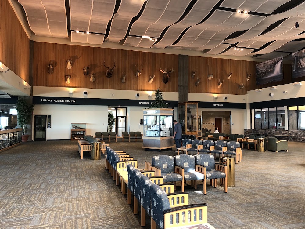
Attribution:
Lei G
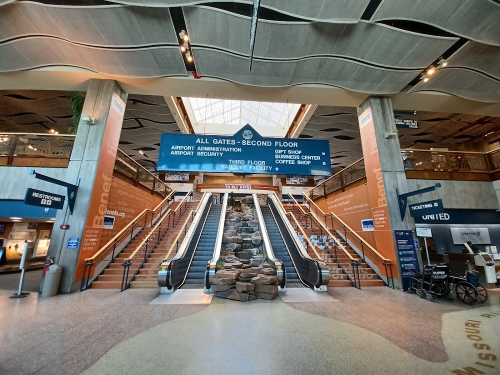
Attribution:
Daniel Sloss
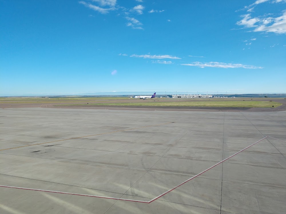
Attribution:
C Blacke
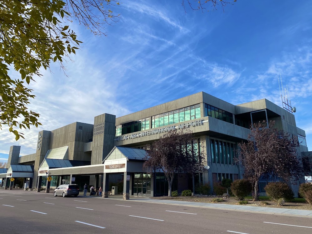
Attribution:
hiro
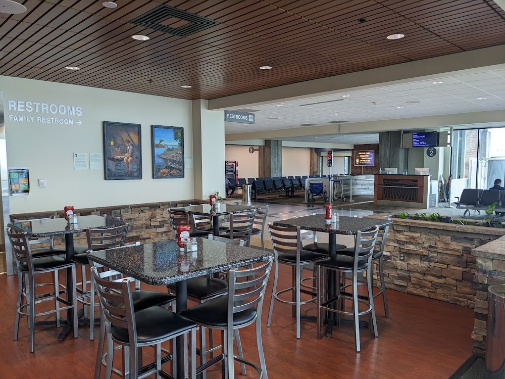
Attribution:
DM
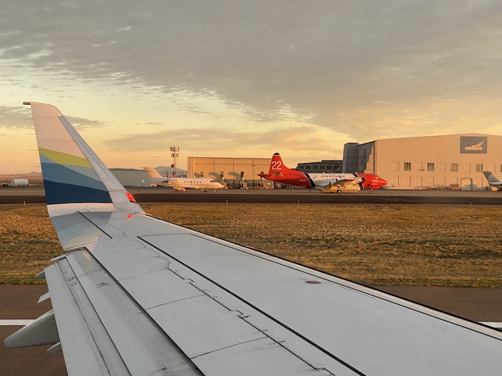
Attribution:
hiro
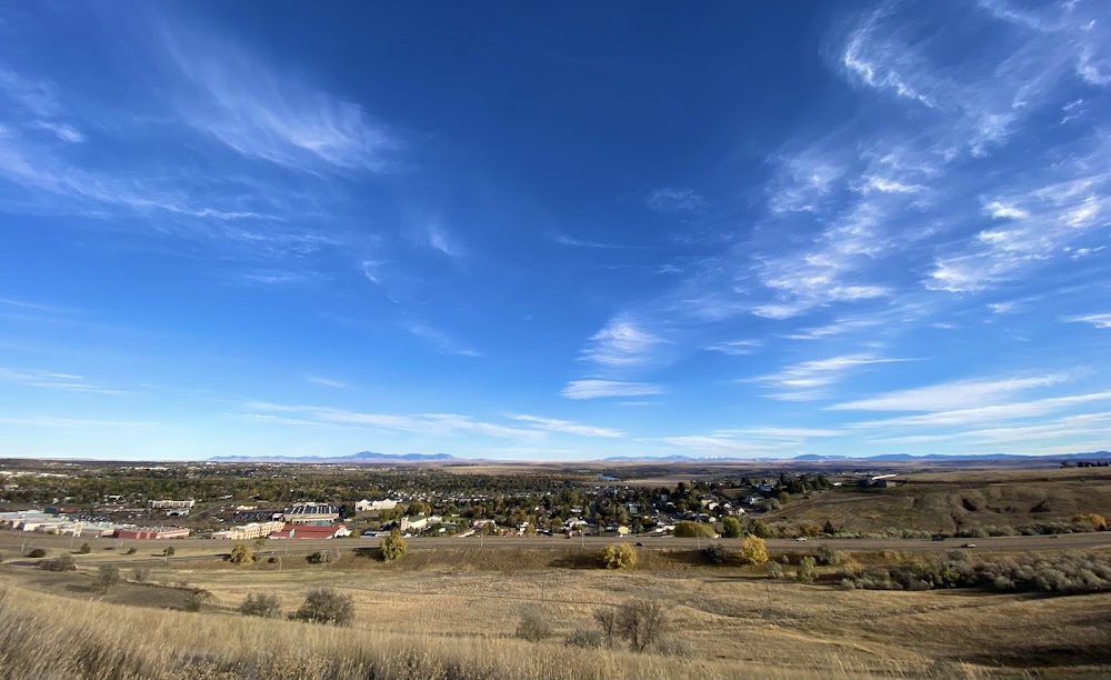
Attribution:
hiro
Attribution:
hiro
Attribution:
Bitcoin Cavalry
No upcoming events. Is anything happening here soon?
Airport Statistics
- Transient parking location
- Airport photos
- WiFi availability
Location:
Great Falls, MT
Elevation:
3,680ft
Sectional:
Great Falls
Activation date:
Apr 1940
Fuel:
100LL, A
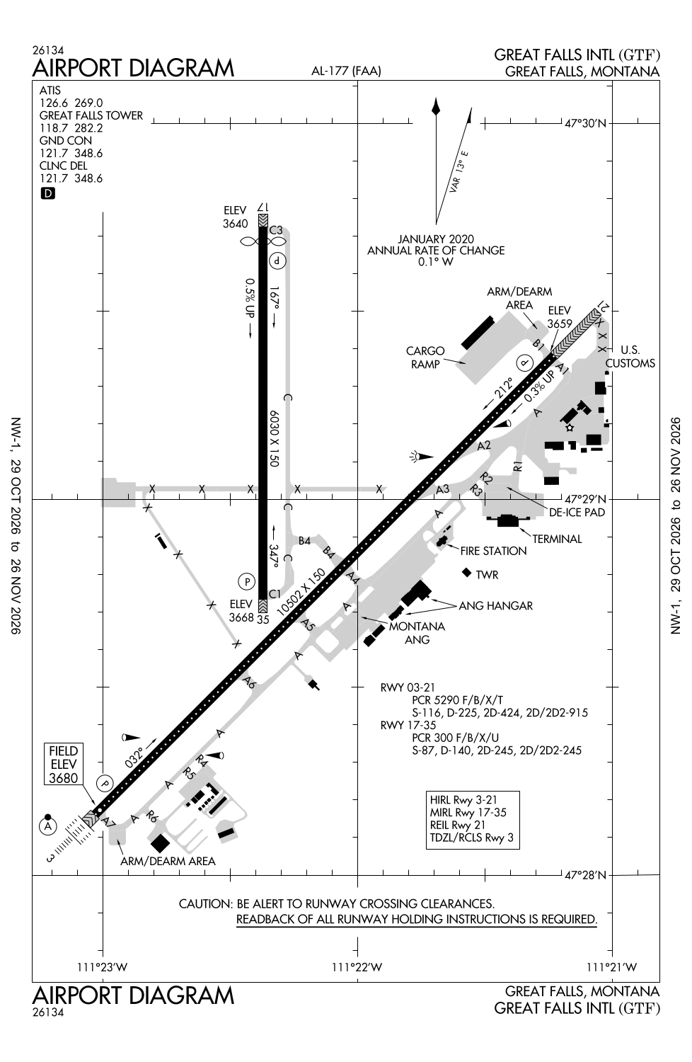
Runway 03/21:
10,502ft
Runway 17/35:
6,030ft
Access: Open to the public
Similar Airports


Current Weather — VFR
-
Weather data is strictly informational and not for flight planning purposes.
-
METAR2026-11-16 17:53:00 MST
Ceiling: 11,000ft Wind: 210° @ 3kt Temperature: 44°F Dewpoint: 30°F Weather: N/A Visbility: 10SM Clouds: Broken @ 11,000ft Raw:METAR KGTF 170053Z 21003KT 10SM BKN110 07/M01 A2988 RMK AO2 SLP134 T00721011 -
TAF2026-11-16 17:00:00 MST – 2026-11-17 12:00:00 MST
Ceiling: 9,000ft Wind: Variable Weather: N/A Visbility: 6SM Clouds: Overcast @ 9,000ft Raw:TAF KGTF 162320Z 1700/1724 VRB06KT P6SM OVC090 FM171900 36008KT 6SM -RA BR OVC050 FM172200 36008KT 1SM -SN OVC010 -
TAF2026-11-17 12:00:00 MST – 2026-11-17 15:00:00 MST
Ceiling: 5,000ft Wind: 360° @ 8kt Weather: Light rain, mist Visbility: 6SM Clouds: Overcast @ 5,000ft Raw:TAF KGTF 162320Z 1700/1724 VRB06KT P6SM OVC090 FM171900 36008KT 6SM -RA BR OVC050 FM172200 36008KT 1SM -SN OVC010 -
TAF2026-11-17 15:00:00 MST – 2026-11-17 17:00:00 MST
Ceiling: 1,000ft Wind: 360° @ 8kt Weather: Light snow Visbility: 1SM Clouds: Overcast @ 1,000ft Raw:TAF KGTF 162320Z 1700/1724 VRB06KT P6SM OVC090 FM171900 36008KT 6SM -RA BR OVC050 FM172200 36008KT 1SM -SN OVC010
Click/tap to add an annotation marker to the map
Remarks
- Index level c arff capability is avbl at all times.
- Military: ang: opr 1400-2330z++ mon-thu, ltd fri, closed sat-sun and hol. base ops dsn 791-0192, c406-791-0192. no tran svc sat, sun, hol or after 2300z++ mon-fri. acft rqr assistance ctc 288.9. rcr info avbl fr base ops.
- Military: ang: ltd tran svc only avbl for acft participating in ang ops with prior coordination (ppr).
- Birds on and invof arpt.
- Military: ang: usaf bash - exp increased migratory waterfowl act (phase ii) mar-may, jul, & sep-dec, sr-.5 to ss+.5.
Comments