Pirep is a free, collaborative database of all public and private airports. All pilots are welcome to contribute their local knowledge to any airport, no registration required.
Sadly, this airport is reportedly closed based on it being removed from the FAA's database.
Public
Undocumented
Closed
Edit Tags
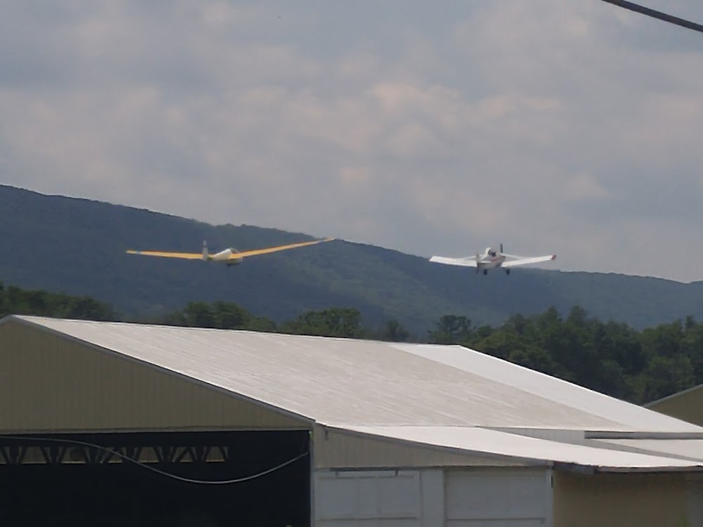
No upcoming events. Is anything happening here soon?
Airport Statistics
- Fuel pump location
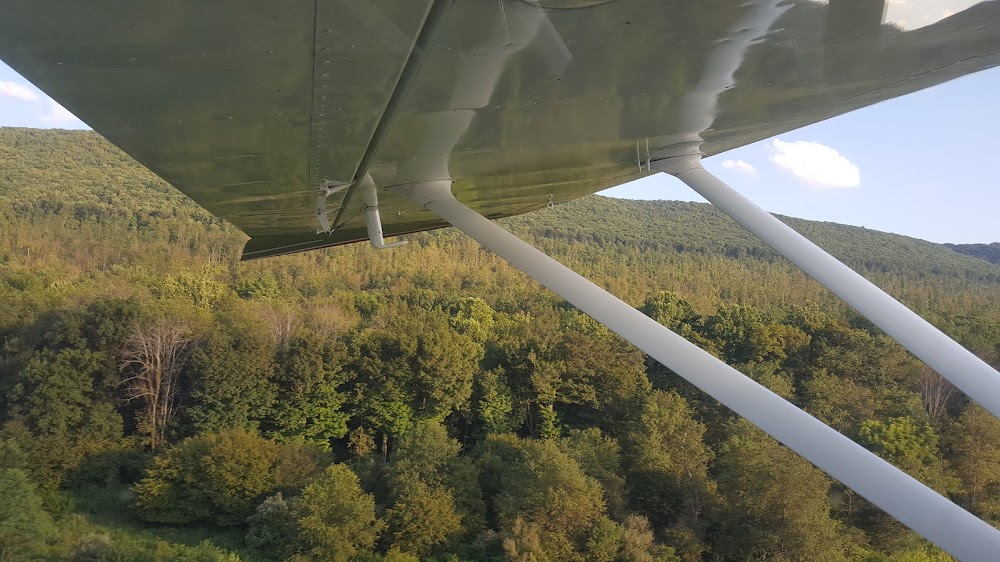
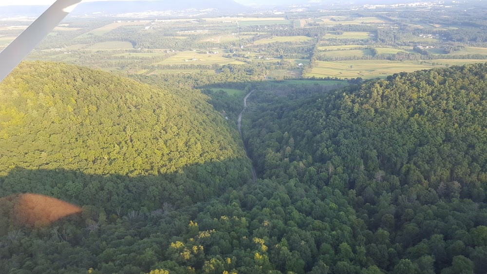
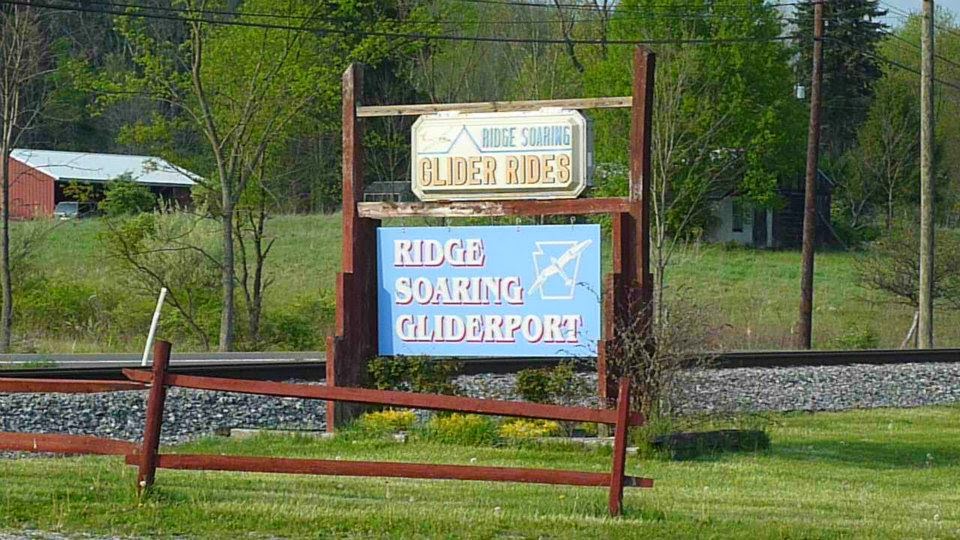
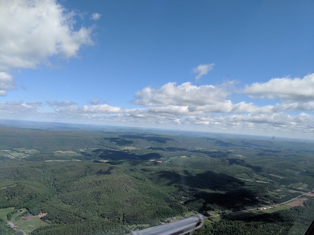
- Airport photos
- Local flying clubs
Location:
Unionville, PA
Elevation:
815ft
Sectional:
Detroit
Closed date:
Jun 2026
Fuel:
None
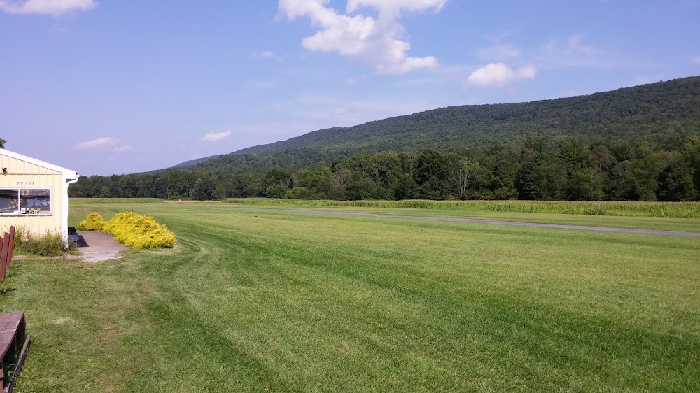
Runway 07/25:
3,322ft
Access: Open to the public
This airport is privately owned but open to the public.
Click/tap to add an annotation marker to the map
No webcams added yet.
Remarks
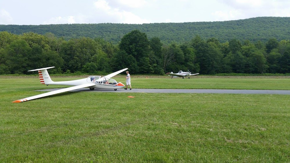
- Drainage ditch obstructs turf lndg sfc 1738 ft inbd from rwy 25 n & s side, marked with red/yellow cones.
- Rwy 07/25 cntrln runs along s edge of paved strip.
- For cd ctc new york artcc at 631-468-1425.
- Communication with arpt avbl on 123.3 aviation instructional freq.
- Apch slope 17:1 to dthr.
- Apch slope 15:1 to dthr.
- Rwy drains poorly. water accums durg rainy periods.
Comments