Pirep is a free, collaborative database of all public and private airports. All pilots are welcome to contribute their local knowledge to any airport, no registration required.
No upcoming events. Is anything happening here soon?
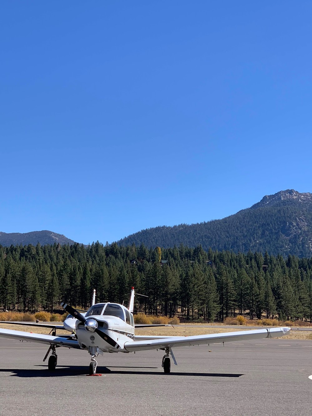
Last updated: 2024-12-26 20:19:34 PST
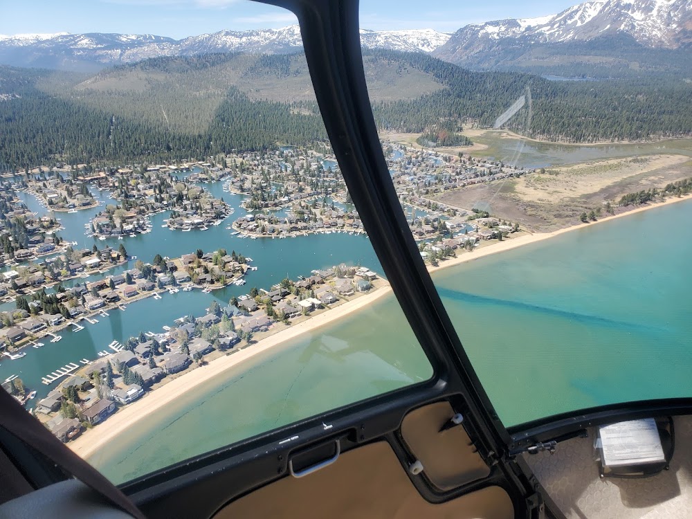
Last updated: 2024-01-13 11:37:46 PST
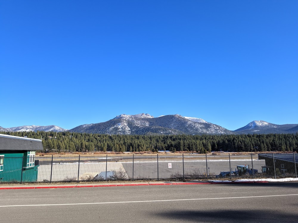
Last updated: 2023-04-05 06:37:59 PDT
Airport Statistics
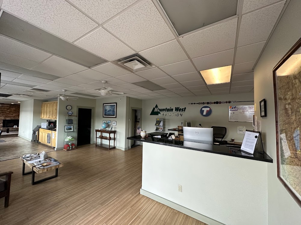
- Crew car availability
- Airport map annotations
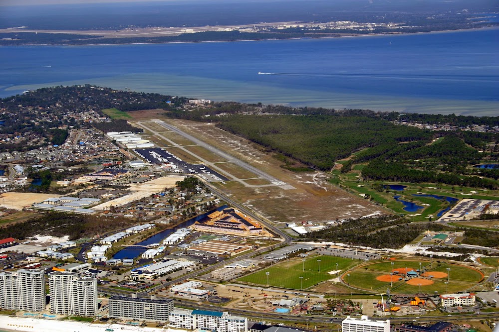
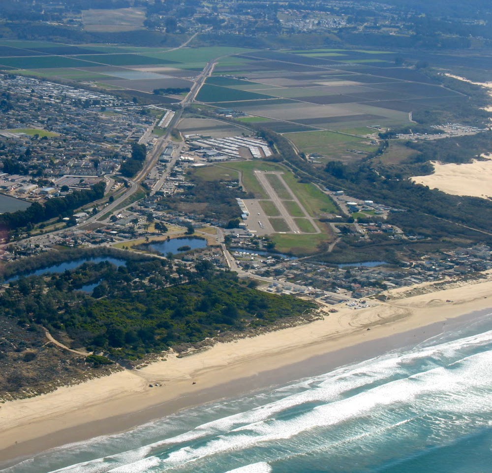
- Airport photos
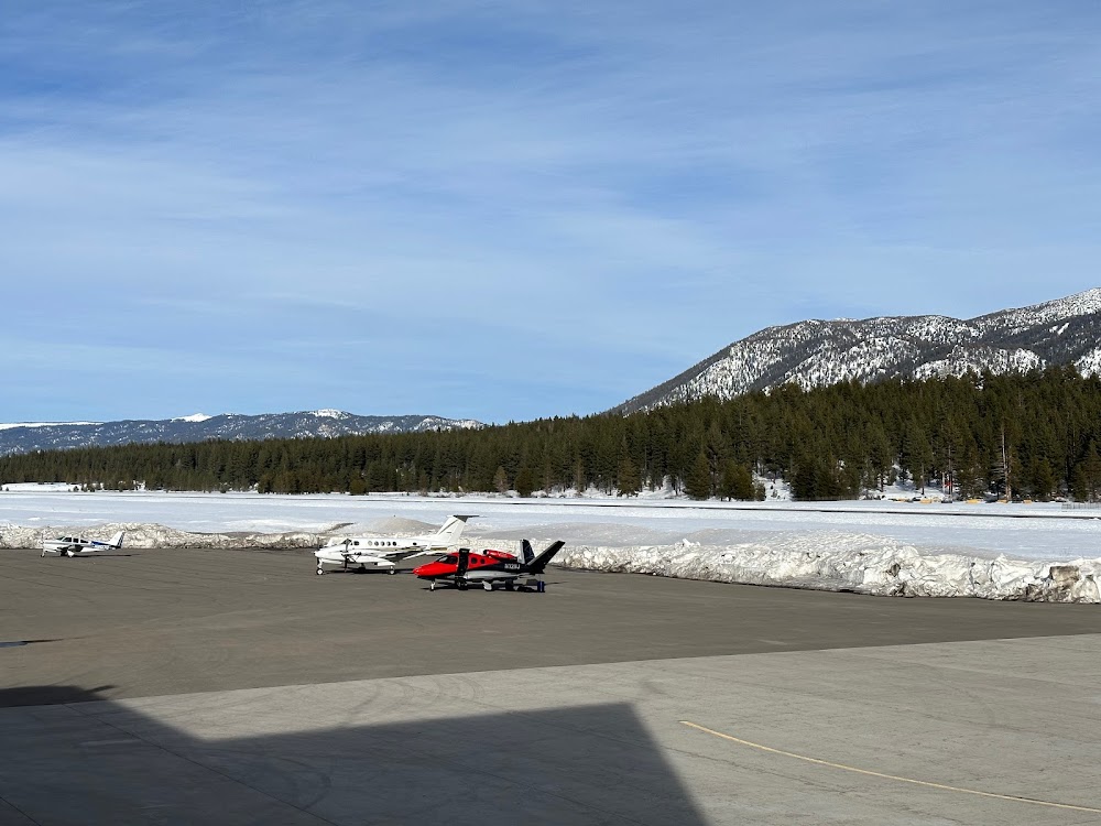
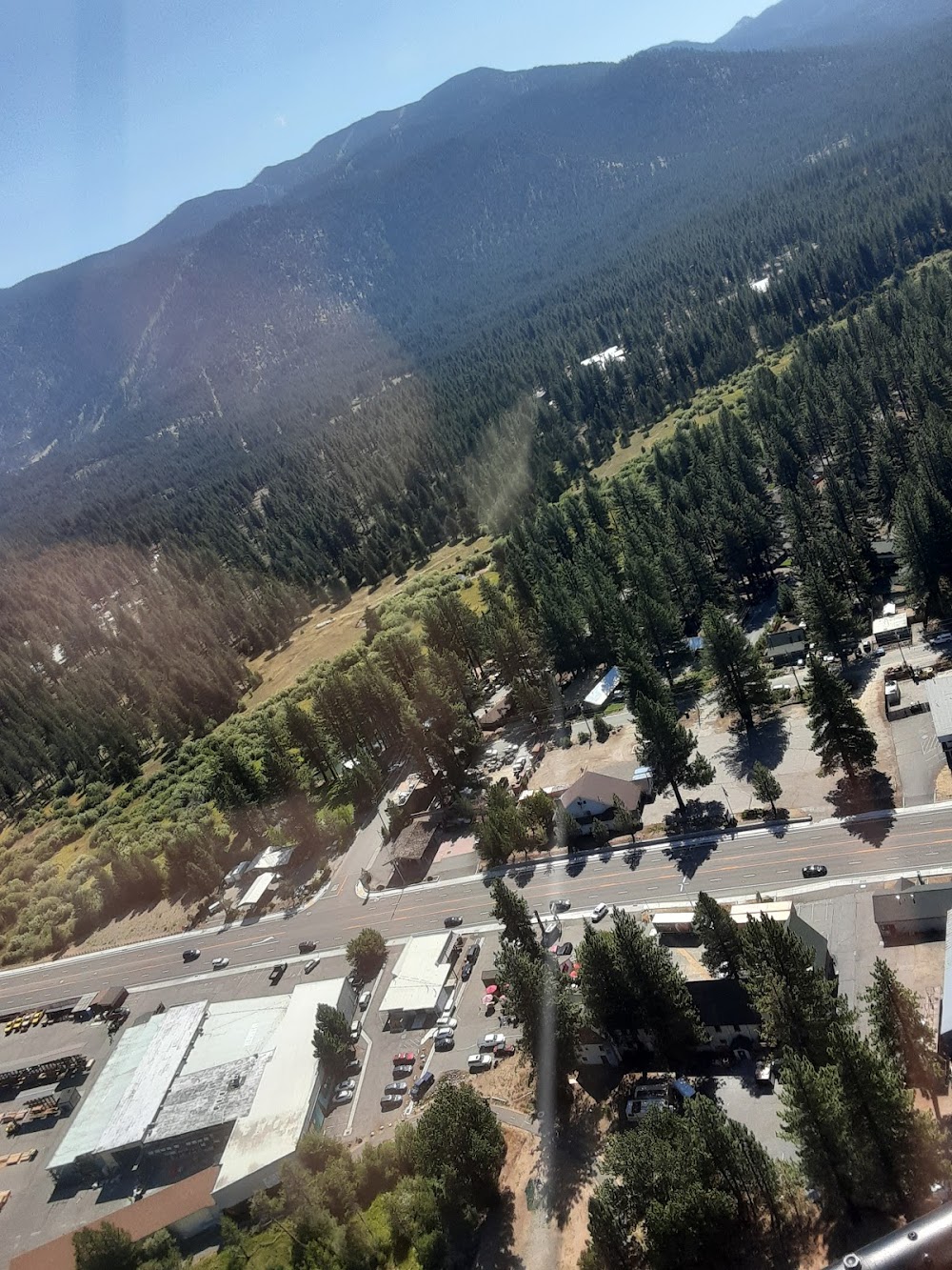
Location:
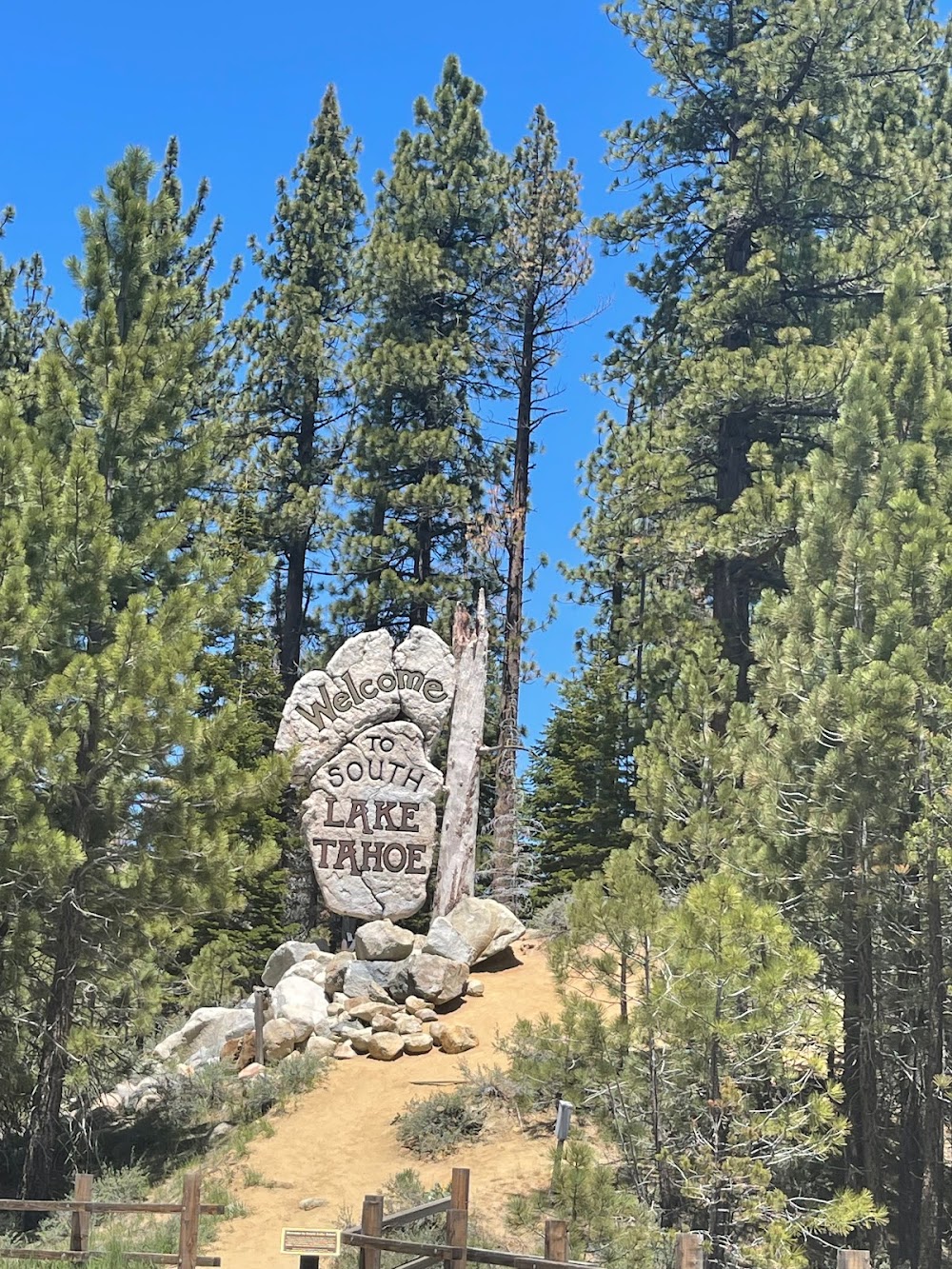
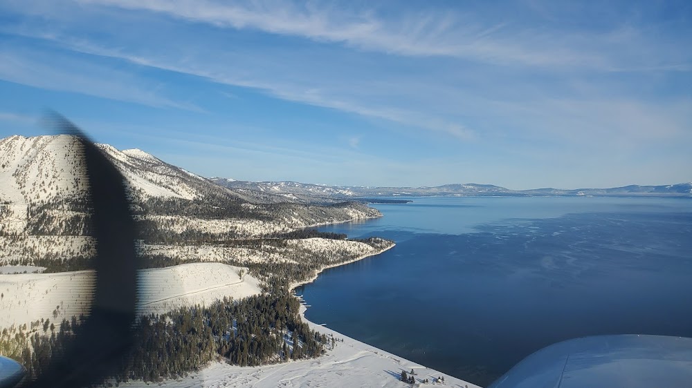
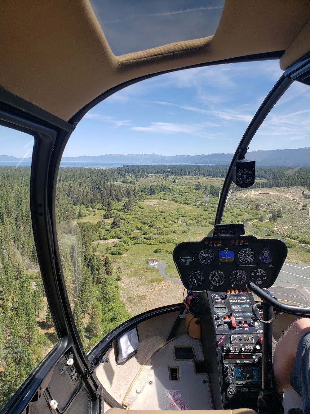
South Lake Tahoe, CA
Elevation:
6,268ft
Sectional:
San Francisco
Fuel:
100LL, A (prices)
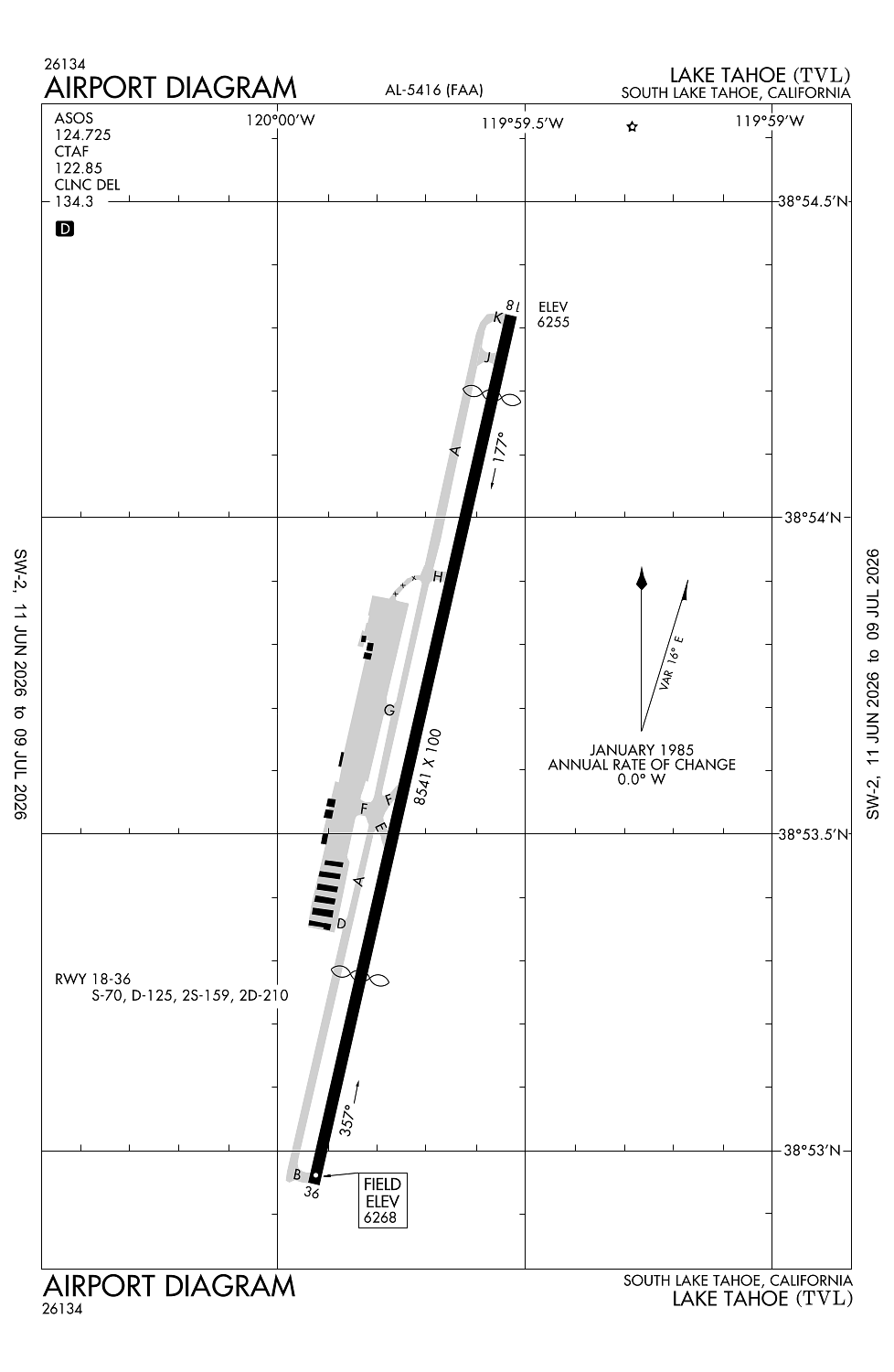
Runway 18/36:
8,541ft
Access: Open to the public
Similar Airports
Current Weather — VFR
-
Weather data is strictly informational and not for flight planning purposes.
-
METAR2026-07-18 14:53:00 PDT
Ceiling: Sky clear Wind: 020° @ 9kt Temperature: 80°F Dewpoint: 44°F Weather: N/A Visbility: 10SM Raw:METAR KTVL 182153Z AUTO 02009KT 10SM CLR 27/07 A3026 RMK AO2 SLP186 T02670072 -
TAF2026-07-18 11:00:00 PDT – 2026-07-18 16:00:00 PDT
Ceiling: 16,000ft Wind: 020° @ 7kt Weather: N/A Visbility: 6SM Clouds: Scattered @ 10,000ft, Broken @ 16,000ft Raw:TAF KTVL 181720Z 1818/1918 02007KT P6SM SCT100 BKN160 FM182300 20010G17KT P6SM SCT100 FM190300 VRB03KT P6SM SCT130 BKN180 -
TAF2026-07-18 16:00:00 PDT – 2026-07-18 20:00:00 PDT
Ceiling: Sky clear Wind: 200° @ 10kt, gusts 17kt Weather: N/A Visbility: 6SM Clouds: Scattered @ 10,000ft Raw:TAF KTVL 181720Z 1818/1918 02007KT P6SM SCT100 BKN160 FM182300 20010G17KT P6SM SCT100 FM190300 VRB03KT P6SM SCT130 BKN180 -
TAF2026-07-18 20:00:00 PDT – 2026-07-19 11:00:00 PDT
Ceiling: 18,000ft Wind: Variable Weather: N/A Visbility: 6SM Clouds: Scattered @ 13,000ft, Broken @ 18,000ft Raw:TAF KTVL 181720Z 1818/1918 02007KT P6SM SCT100 BKN160 FM182300 20010G17KT P6SM SCT100 FM190300 VRB03KT P6SM SCT130 BKN180
Click/tap to add an annotation marker to the map
No webcams added yet.
Remarks
- Ap sfc conds: trml apron excellent, twy - rwy good, north ga apron poor.
- Tpa 7500' msl for small acft; 8000' msl for transport/high performance acft.
- After winter storms ry 18/36 opens before all twys are clear.
- Preferred arrival ry 18; preferred dep ry 36.
- Recreational airborne activity along southern lake shore.
Comments