Pirep is a free, collaborative database of all public and private airports. All pilots are welcome to contribute their local knowledge to any airport, no registration required.
Public
Undocumented
Edit Tags
No upcoming events. Is anything happening here soon?
Airport Statistics
- Airport map annotations
- Airport photos
- Landing & tie-down fees
Location:
Garrettsville, OH
Elevation:
1,104ft
Sectional:
Detroit
Activation date:
Jun 1967
Fuel:
None
Runway 08/26:
2,800ft
Access: Open to the public
This airport is privately owned but open to the public.
Click/tap to add an annotation marker to the map
No webcams added yet.
Remarks
- Vfr only.
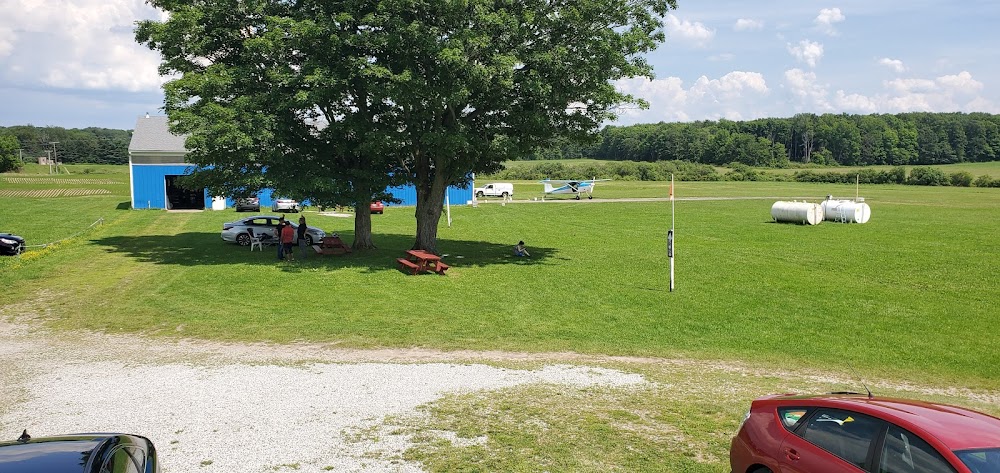
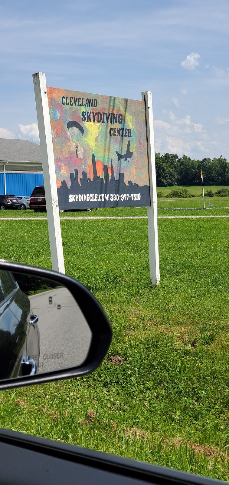
- Skydiving act.
- Rwy drops 10 ft on east end.
- 16 ft hill/brush starting 0 ft fm aer 26.
- For cd ctc cleveland apch at 216-352-2323
- Ppr nov thru apr ctc amgr clevelanddz@yahoo.com.
- Ctlg obstn exceeds a 45 deg slp.
- Ctlg obstn exceeds a 45 deg slp.
Very high parachute activity from April to November. For the safety of everyone, I highly recommend calling Cleveland Skydiving Center ahead of time if you intend to land here, and getting flight following if you are going to overfly the area.