Pirep is a free, collaborative database of all public and private airports. All pilots are welcome to contribute their local knowledge to any airport, no registration required.

Public
Undocumented
Edit Tags
No upcoming events. Is anything happening here soon?
Airport Statistics
- Local flying clubs
- Crew car availability
- Tags
Location:
New Cumberland, WV
Elevation:
1,226ft
Sectional:
Detroit
Activation date:
Nov 1946
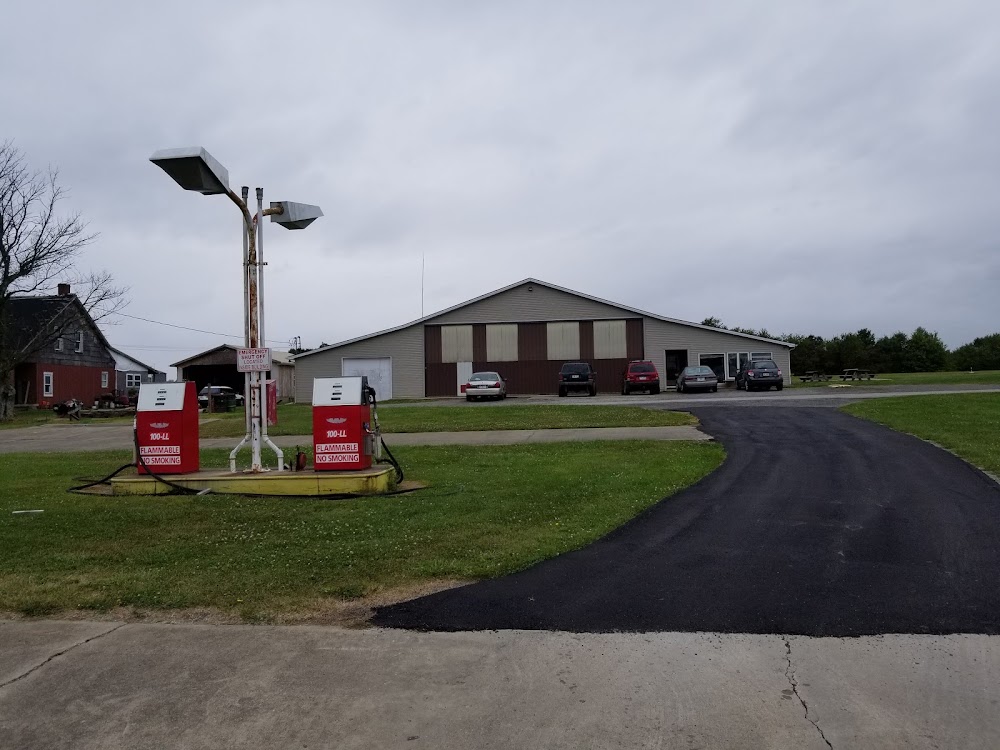
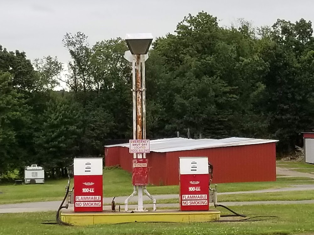
Fuel:
None
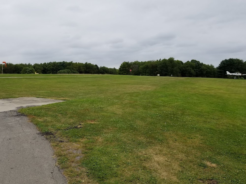
Runway 04/22:
2,030ft
Runway 01/19:
1,200ft
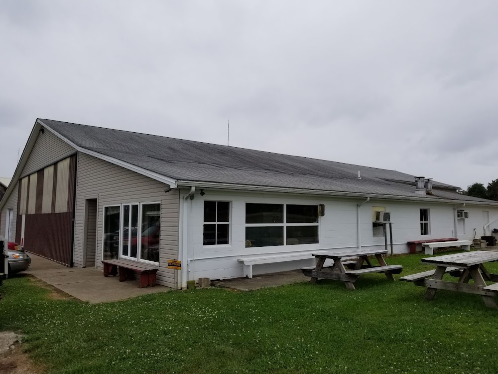
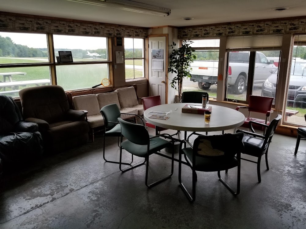
Access: Open to the public
This airport is privately owned but open to the public.
Click/tap to add an annotation marker to the map
No webcams added yet.
Remarks
- Repairs by prior arrangement.
- Established prior to 1959.
- Public road crosses center of airfield; do not taxi on road, wing will not clear stop sign on rd.
- Rwy 04 & 22 no line of sight btn rwy ends. tfc on rd. crossing rwy not visible fm rwy 4 end.
- Rwy 04/22 slopes up fm e to w, aprx 30 ft.
- Deer on and invof arpt.
- Ultralight activity.
- 30 ft drop-off at each rwy end.
Comments