Pirep is a free, collaborative database of all public and private airports. All pilots are welcome to contribute their local knowledge to any airport, no registration required.
Public
Undocumented
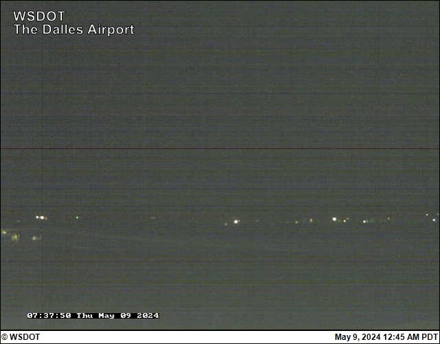
Webcam
METAR / TAF
Edit Tags
No upcoming events. Is anything happening here soon?
Airport Statistics
- Local flying clubs
- Tags
- Airport photos
Location:
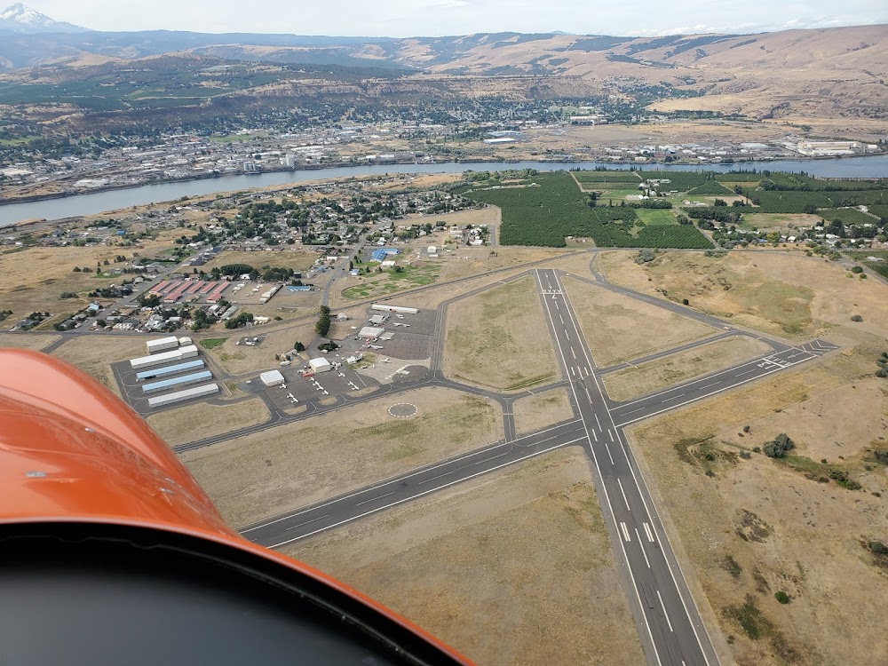
The Dalles, WA
Elevation:
246ft
Sectional:
Seattle
Activation date:
Jun 1943
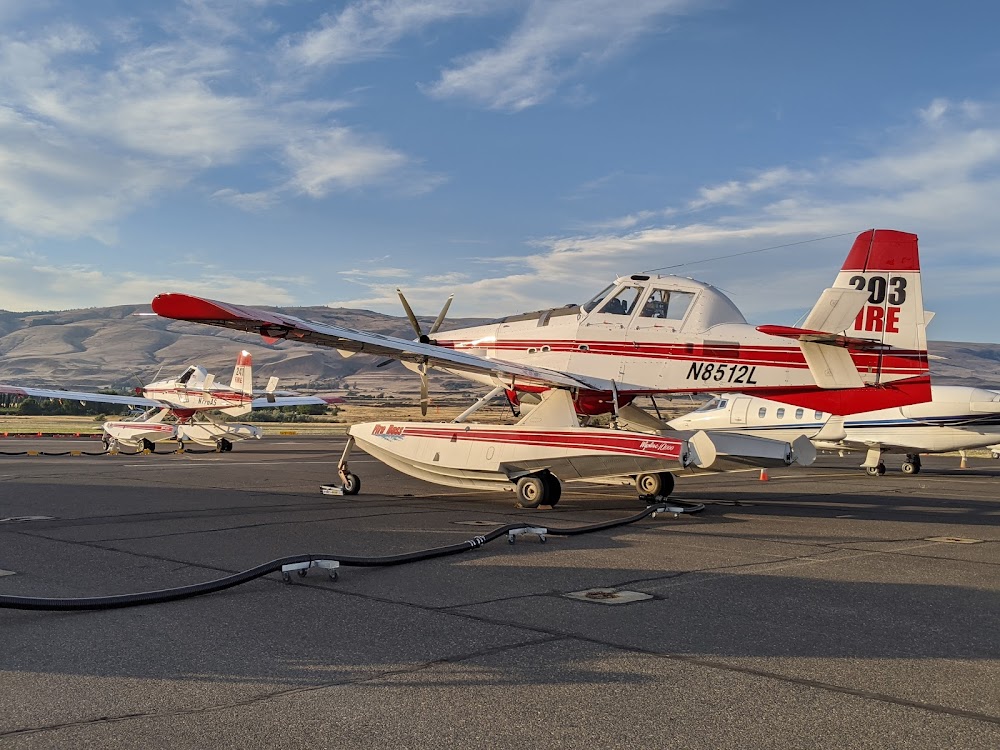
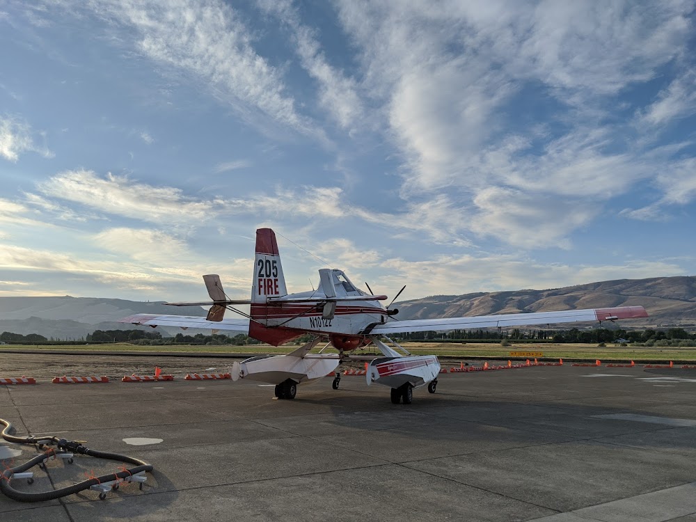
Fuel:
100LL, A1 (prices)
Runway 13/31:
5,097ft
Runway 07/25:
4,647ft
Access: Open to the public
Current Weather — VFR
-
Weather data is strictly informational and not for flight planning purposes.
-
METAR2026-07-15 19:53:00 PDT
Ceiling: Sky clear Wind: 000° @ kt Temperature: 80°F Dewpoint: 57°F Weather: Light rain Visbility: 10SM Clouds: Few @ 6,000ft, Scattered @ 9,000ft, Scattered @ 11,000ft Raw:METAR KDLS 160253Z AUTO 10SM -RA FEW060 SCT090 SCT110 27/14 A2988 RMK AO2 RAB51 SLP115 P0000 60000 T02720139 53003 -
TAF2026-07-15 17:00:00 PDT – 2026-07-15 18:00:00 PDT
Ceiling: 25,000ft Wind: 320° @ 12kt, gusts 20kt Weather: N/A Visbility: 6SM Clouds: Few @ 10,000ft, Scattered @ 15,000ft, Broken @ 25,000ft Raw:TAF KDLS 152320Z 1600/1624 32012G20KT P6SM FEW100 SCT150 BKN250 FM160100 VRB15G25KT 6SM -SHRA SCT060 BKN100 FM160600 31012KT P6SM SCT080 BKN120 BKN250 PROB30 1606/1612 -SHRA FM161500 31015G25KT P6SM FEW080 -
TAF2026-07-15 18:00:00 PDT – 2026-07-15 23:00:00 PDT
Ceiling: 10,000ft Wind: Variable, gusts 25kt Weather: Light rain showers Visbility: 6SM Clouds: Scattered @ 6,000ft, Broken @ 10,000ft Raw:TAF KDLS 152320Z 1600/1624 32012G20KT P6SM FEW100 SCT150 BKN250 FM160100 VRB15G25KT 6SM -SHRA SCT060 BKN100 FM160600 31012KT P6SM SCT080 BKN120 BKN250 PROB30 1606/1612 -SHRA FM161500 31015G25KT P6SM FEW080 -
TAF2026-07-15 23:00:00 PDT – 2026-07-16 08:00:00 PDT
Ceiling: 12,000ft Wind: 310° @ 12kt Weather: N/A Visbility: 6SM Clouds: Scattered @ 8,000ft, Broken @ 12,000ft, Broken @ 25,000ft Raw:TAF KDLS 152320Z 1600/1624 32012G20KT P6SM FEW100 SCT150 BKN250 FM160100 VRB15G25KT 6SM -SHRA SCT060 BKN100 FM160600 31012KT P6SM SCT080 BKN120 BKN250 PROB30 1606/1612 -SHRA FM161500 31015G25KT P6SM FEW080 -
TAF2026-07-15 23:00:00 PDT – 2026-07-16 05:00:00 PDT
Ceiling: Sky clear Wind: 000° @ kt Weather: Light rain showers Visbility: SM Raw:TAF KDLS 152320Z 1600/1624 32012G20KT P6SM FEW100 SCT150 BKN250 FM160100 VRB15G25KT 6SM -SHRA SCT060 BKN100 FM160600 31012KT P6SM SCT080 BKN120 BKN250 PROB30 1606/1612 -SHRA FM161500 31015G25KT P6SM FEW080 -
TAF2026-07-16 08:00:00 PDT – 2026-07-16 17:00:00 PDT
Ceiling: Sky clear Wind: 310° @ 15kt, gusts 25kt Weather: N/A Visbility: 6SM Clouds: Few @ 8,000ft Raw:TAF KDLS 152320Z 1600/1624 32012G20KT P6SM FEW100 SCT150 BKN250 FM160100 VRB15G25KT 6SM -SHRA SCT060 BKN100 FM160600 31012KT P6SM SCT080 BKN120 BKN250 PROB30 1606/1612 -SHRA FM161500 31015G25KT P6SM FEW080
Click/tap to add an annotation marker to the map
Remarks
- Estabd prior to 1959.
- Mtns byd 5000' apch ry 31.
- All twys marked with reflectors.
- Waterfowl on and invof arpt.
- Prior permission required for overweight lndgs.
- For cd ctc seattle artcc at 253-351-3694.
- Actvt mirl rys 13/31 & 07/25, & reil ry 31 - ctaf. reil operates on 7 clicks only.
- Adnl ctc - 541-288-6766. manager@flycgra.com.
Comments