Pirep is a free, collaborative database of all public and private airports. All pilots are welcome to contribute their local knowledge to any airport, no registration required.
Public
Undocumented
METAR / TAF
Edit Tags
No upcoming events. Is anything happening here soon?
Airport Statistics
- General description
- Tags
- Fuel pump location
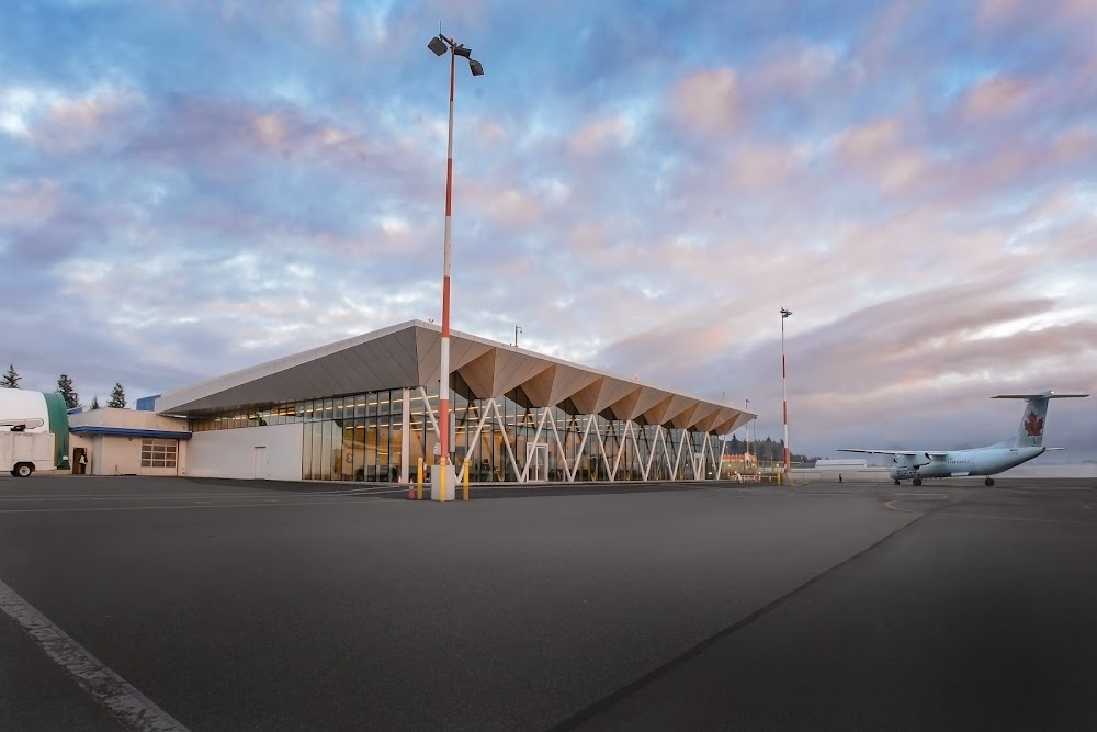
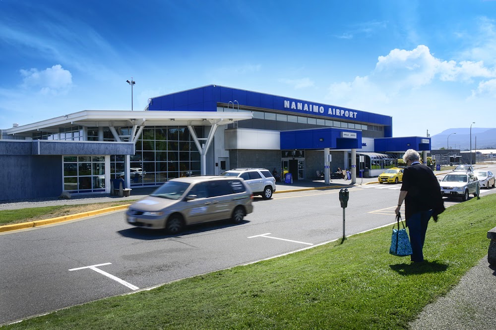
Location:
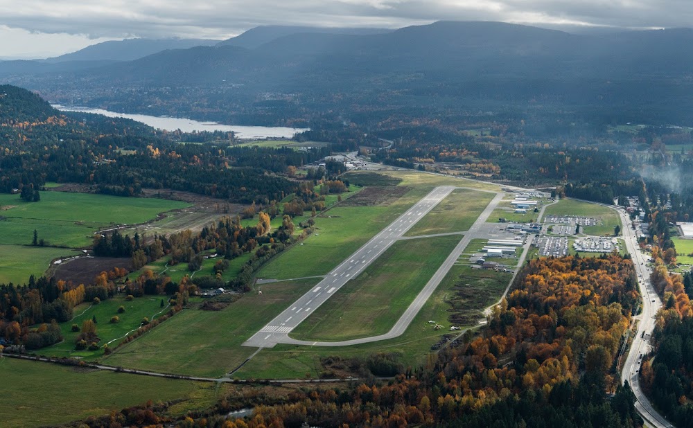
Nanaimo, CN
Elevation:
92ft
Sectional:
Seattle
Activation date:
Mar 2005
Fuel:
100LL, A1 (prices)
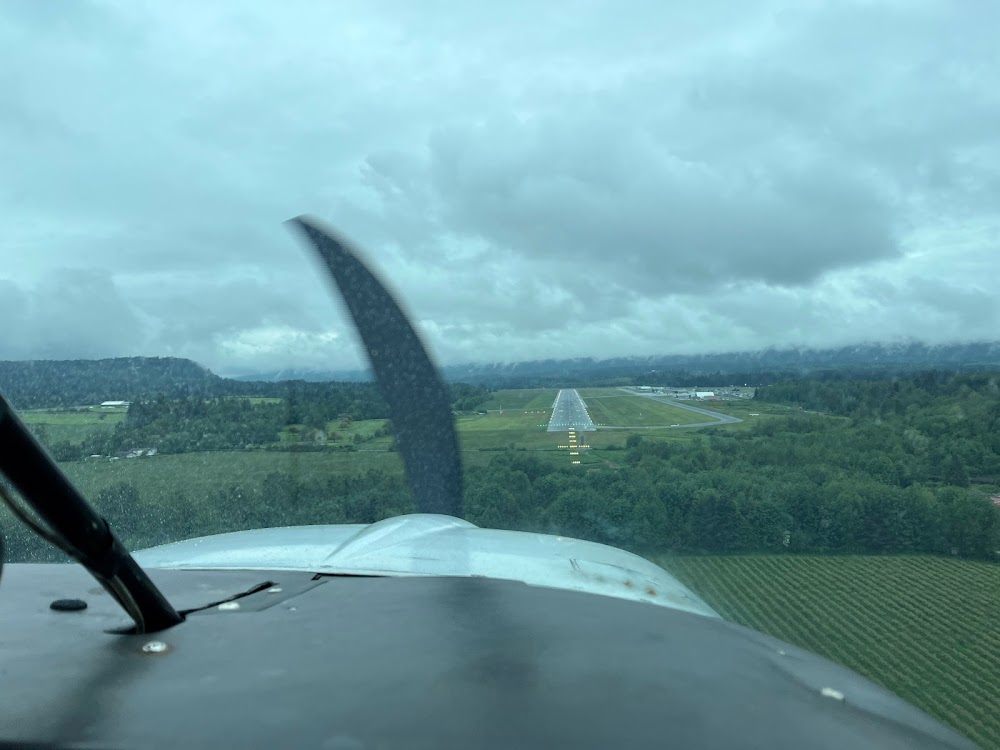
Runway 16/34:
6,602ft
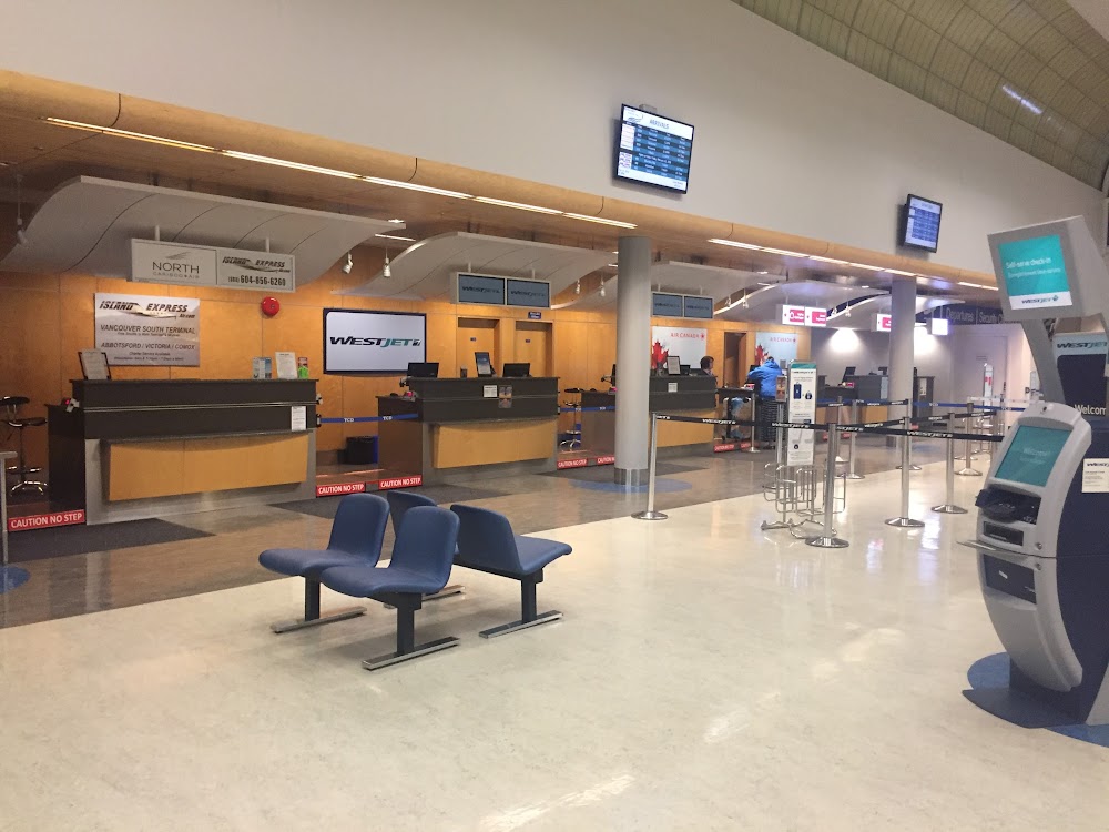
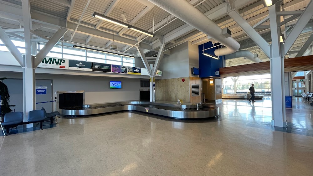
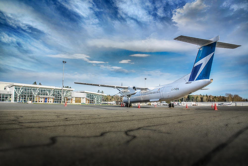
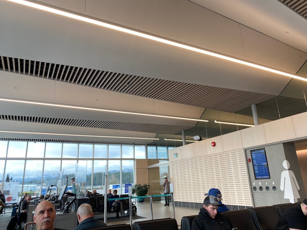
Access: Open to the public
Current Weather — VFR
-
Weather data is strictly informational and not for flight planning purposes.
-
METAR2026-07-21 10:00:00 PDT
Ceiling: Sky clear Wind: Variable Temperature: 78°F Dewpoint: 55°F Weather: N/A Visbility: 15SM Clouds: Few @ 24,000ft Raw:METAR CYCD 211700Z VRB02KT 15SM FEW240 26/13 A2997 RMK CI1 HZ SLP151 DENSITY ALT 1300FT -
TAF2026-07-21 08:00:00 PDT – 2026-07-21 09:00:00 PDT
Ceiling: Sky clear Wind: 280° @ 5kt Weather: N/A Visbility: 6SM Clouds: Scattered @ 24,000ft Raw:TAF CYCD 211440Z 2115/2203 28005KT P6SM SCT240 BECMG 2116/2118 04005KT RMK NXT FCST BY 211800Z -
TAF2026-07-21 09:00:00 PDT – 2026-07-21 20:00:00 PDT
Ceiling: Sky clear Wind: 040° @ 5kt Weather: N/A Visbility: 6SM Clouds: Scattered @ 24,000ft Raw:TAF CYCD 211440Z 2115/2203 28005KT P6SM SCT240 BECMG 2116/2118 04005KT RMK NXT FCST BY 211800Z
Click/tap to add an annotation marker to the map
No webcams added yet.
Remarks
- Deer invof ry.
Comments