Pirep is a free, collaborative database of all public and private airports. All pilots are welcome to contribute their local knowledge to any airport, no registration required.


Public
Undocumented
METAR / TAF
Edit Tags
No upcoming events. Is anything happening here soon?
Airport Statistics
- Airport map annotations
- Fuel pump location
- General description
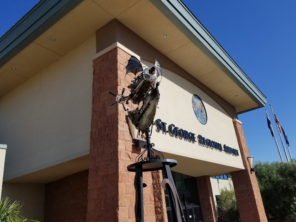
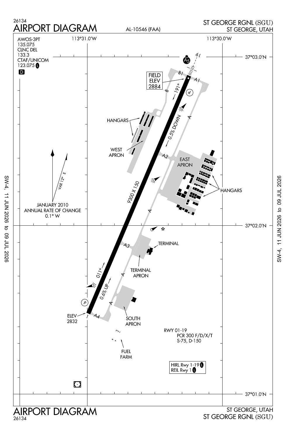
Location:
St George, UT
Elevation:
2,883ft
Sectional:
Las Vegas
Activation date:
Jan 2011
Fuel:
100LL, A (prices)
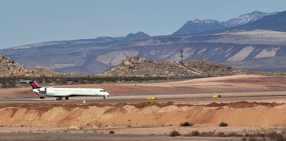
Runway 01/19:
9,300ft
Access: Open to the public
Current Weather — VFR
-
Weather data is strictly informational and not for flight planning purposes.
-
METAR2026-07-21 05:56:00 MDT
Ceiling: 9,000ft Wind: 100° @ 17kt, gusts 26kt Temperature: 82°F Dewpoint: 62°F Weather: N/A Visbility: 10SM Clouds: Broken @ 9,000ft, Overcast @ 12,000ft Raw:METAR KSGU 211156Z AUTO 10017G26KT 10SM BKN090 OVC120 28/17 A3002 RMK AO2 PK WND 11038/1103 SLP122 T02780167 10339 20278 53041 -
TAF2026-07-21 06:00:00 MDT – 2026-07-21 06:30:00 MDT
Ceiling: 12,000ft Wind: 110° @ 20kt, gusts 30kt Weather: Light rain Visbility: 6SM Clouds: Broken @ 12,000ft Raw:TAF KSGU 211133Z 2112/2212 11020G30KT P6SM -RA BKN120 FM211230 12011G20KT P6SM -RA SCT100 BKN120 FM211700 26012KT P6SM SCT120 FM220500 12011KT P6SM BKN100 -
TAF2026-07-21 06:30:00 MDT – 2026-07-21 11:00:00 MDT
Ceiling: 12,000ft Wind: 120° @ 11kt, gusts 20kt Weather: Light rain Visbility: 6SM Clouds: Scattered @ 10,000ft, Broken @ 12,000ft Raw:TAF KSGU 211133Z 2112/2212 11020G30KT P6SM -RA BKN120 FM211230 12011G20KT P6SM -RA SCT100 BKN120 FM211700 26012KT P6SM SCT120 FM220500 12011KT P6SM BKN100 -
TAF2026-07-21 11:00:00 MDT – 2026-07-21 23:00:00 MDT
Ceiling: Sky clear Wind: 260° @ 12kt Weather: N/A Visbility: 6SM Clouds: Scattered @ 12,000ft Raw:TAF KSGU 211133Z 2112/2212 11020G30KT P6SM -RA BKN120 FM211230 12011G20KT P6SM -RA SCT100 BKN120 FM211700 26012KT P6SM SCT120 FM220500 12011KT P6SM BKN100 -
TAF2026-07-21 23:00:00 MDT – 2026-07-22 06:00:00 MDT
Ceiling: 10,000ft Wind: 120° @ 11kt Weather: N/A Visbility: 6SM Clouds: Broken @ 10,000ft Raw:TAF KSGU 211133Z 2112/2212 11020G30KT P6SM -RA BKN120 FM211230 12011G20KT P6SM -RA SCT100 BKN120 FM211700 26012KT P6SM SCT120 FM220500 12011KT P6SM BKN100
Click/tap to add an annotation marker to the map
No webcams added yet.
Remarks
- Ppr ovr 150000 lb - amgr.
- Cold temperature airport. altitude correction required at or below -5c.
- No acft tkofs/lndgs on unpaved/dirt rwy safety areas adj to all rwys.
- Actvt malsr rwy 19; reil rwy 01; hirl rwy 01/19 - ctaf. papi rwy 01 & 19 on consly.
- Acft +12500 lb.
Comments