Pirep is a free, collaborative database of all public and private airports. All pilots are welcome to contribute their local knowledge to any airport, no registration required.
Public
Undocumented
METAR / TAF
Edit Tags
No upcoming events. Is anything happening here soon?
Airport Statistics
- Fuel pump location
- Airport map annotations
- Webcam links
Location:
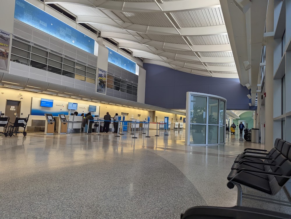
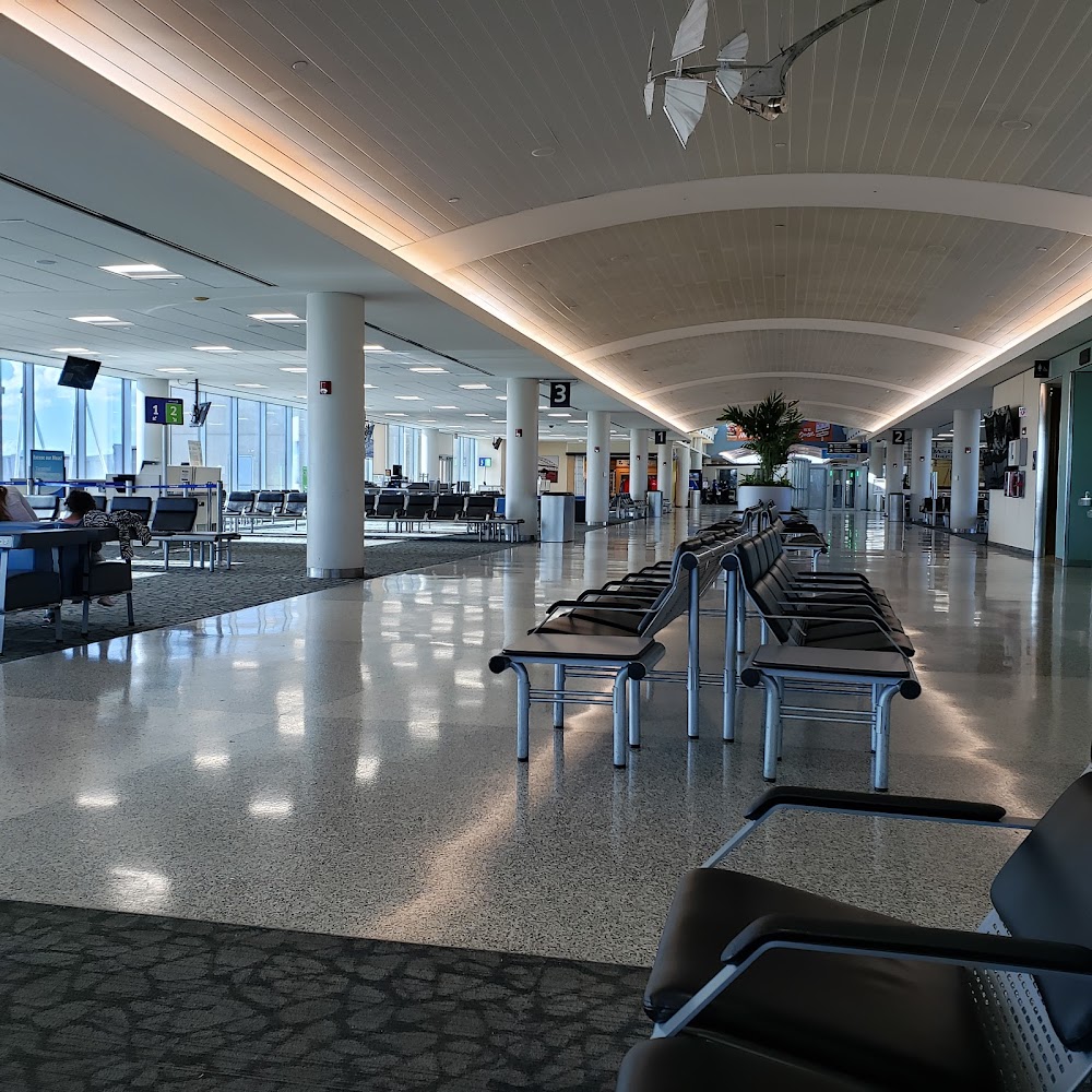
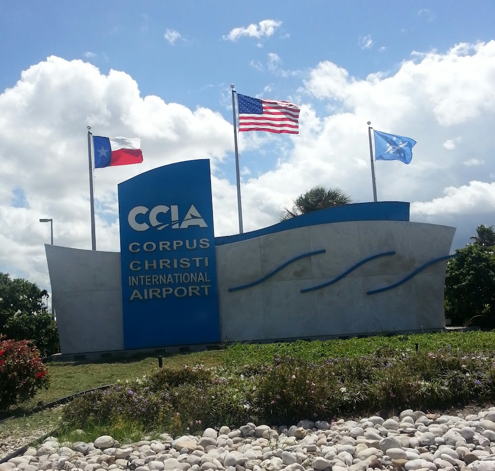
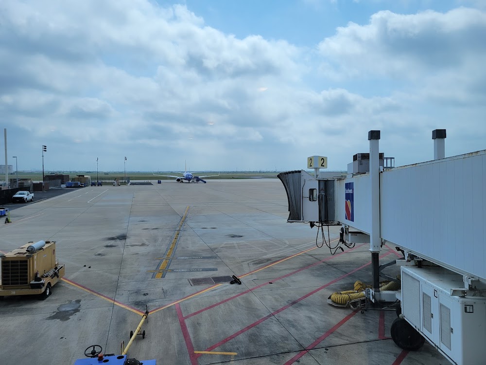
Corpus Christi, TX
Elevation:
46ft
Sectional:
Brownsville
Activation date:
Jul 1960
Fuel:
100LL, A (prices)
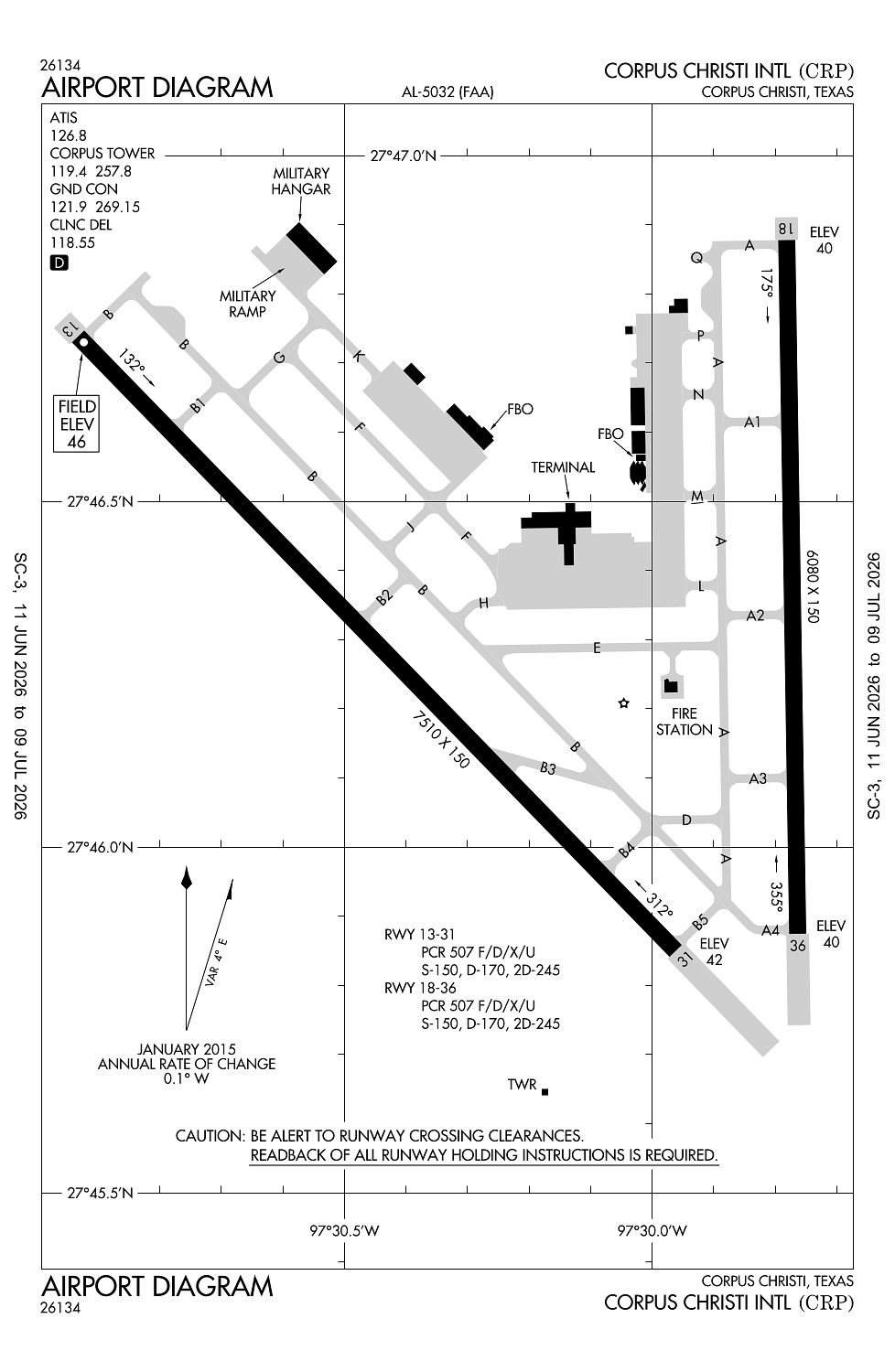
Runway 13/31:
7,510ft
Runway 18/36:
6,080ft
Access: Open to the public
Current Weather — VFR
-
Weather data is strictly informational and not for flight planning purposes.
-
METAR2026-07-21 03:51:00 CDT
Ceiling: 25,000ft Wind: 210° @ 5kt Temperature: 77°F Dewpoint: 75°F Weather: N/A Visbility: 10SM Clouds: Few @ 1,400ft, Broken @ 25,000ft Raw:METAR KCRP 210851Z 21005KT 10SM FEW014 BKN250 25/24 A2988 RMK AO2 SLP117 T02500239 58005 $ -
TAF2026-07-21 01:00:00 CDT – 2026-07-21 14:00:00 CDT
Ceiling: Sky clear Wind: 160° @ 6kt Weather: N/A Visbility: 6SM Clouds: Few @ 1,500ft, Few @ 25,000ft Raw:TAF KCRP 210604Z 2106/2206 16006KT P6SM FEW015 FEW250 TEMPO 2106/2110 BKN015 FM211900 13010G18KT P6SM FEW250 FM220200 17007KT P6SM FEW250 -
TAF2026-07-21 01:00:00 CDT – 2026-07-21 05:00:00 CDT
Ceiling: 1,500ft Wind: 000° @ kt Weather: N/A Visbility: SM Clouds: Broken @ 1,500ft Raw:TAF KCRP 210604Z 2106/2206 16006KT P6SM FEW015 FEW250 TEMPO 2106/2110 BKN015 FM211900 13010G18KT P6SM FEW250 FM220200 17007KT P6SM FEW250 -
TAF2026-07-21 14:00:00 CDT – 2026-07-21 21:00:00 CDT
Ceiling: Sky clear Wind: 130° @ 10kt, gusts 18kt Weather: N/A Visbility: 6SM Clouds: Few @ 25,000ft Raw:TAF KCRP 210604Z 2106/2206 16006KT P6SM FEW015 FEW250 TEMPO 2106/2110 BKN015 FM211900 13010G18KT P6SM FEW250 FM220200 17007KT P6SM FEW250 -
TAF2026-07-21 21:00:00 CDT – 2026-07-22 01:00:00 CDT
Ceiling: Sky clear Wind: 170° @ 7kt Weather: N/A Visbility: 6SM Clouds: Few @ 25,000ft Raw:TAF KCRP 210604Z 2106/2206 16006KT P6SM FEW015 FEW250 TEMPO 2106/2110 BKN015 FM211900 13010G18KT P6SM FEW250 FM220200 17007KT P6SM FEW250
Click/tap to add an annotation marker to the map
No webcams added yet.
Remarks
- Cabaniss field lctd 5 miles se of arpt may be mistaken for corpus christi intl arpt. vfr tfc may be operating in the cabaniss field tfc pattern.
- Birds on & invof arpt year round.
- Cuddihy field (clsd arpt) is lctd 4 miles south of arpt may be mistaken for corpus christi intl arpt.
- Acft at trml gates adz gnd ctl prior to push.
- Unmanned acft may be oprg 3 mi west of arpt drg dalgt hrs at or blw 400 ft agl.
Comments