Pirep is a free, collaborative database of all public and private airports. All pilots are welcome to contribute their local knowledge to any airport, no registration required.


No upcoming events. Is anything happening here soon?
Last updated: 2024-05-26 17:36:11 EDT
Airport Statistics
Location:
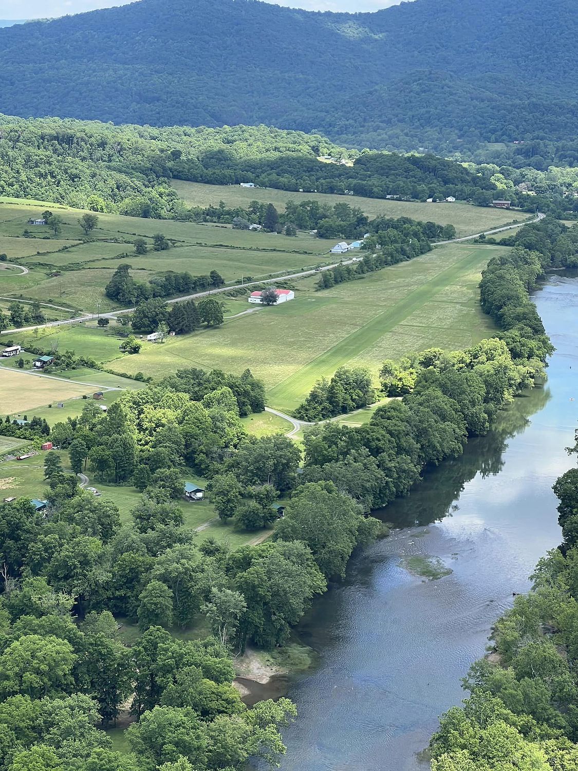
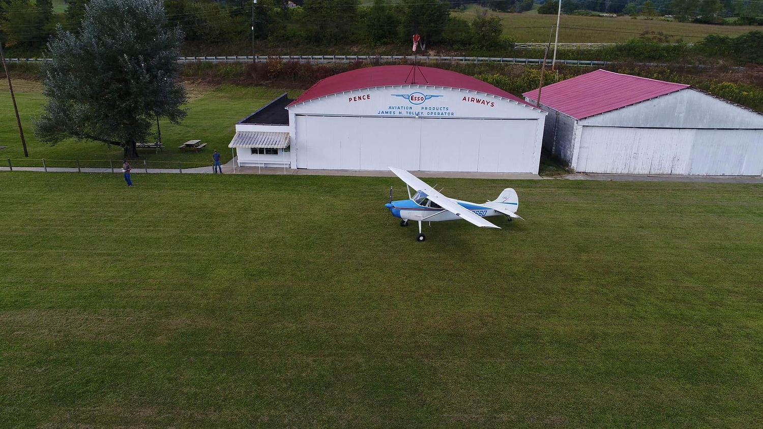
Pence Springs, WV
Elevation:
1,520ft
Sectional:
Cincinnati
Activation date:
Oct 1938
Fuel:
None
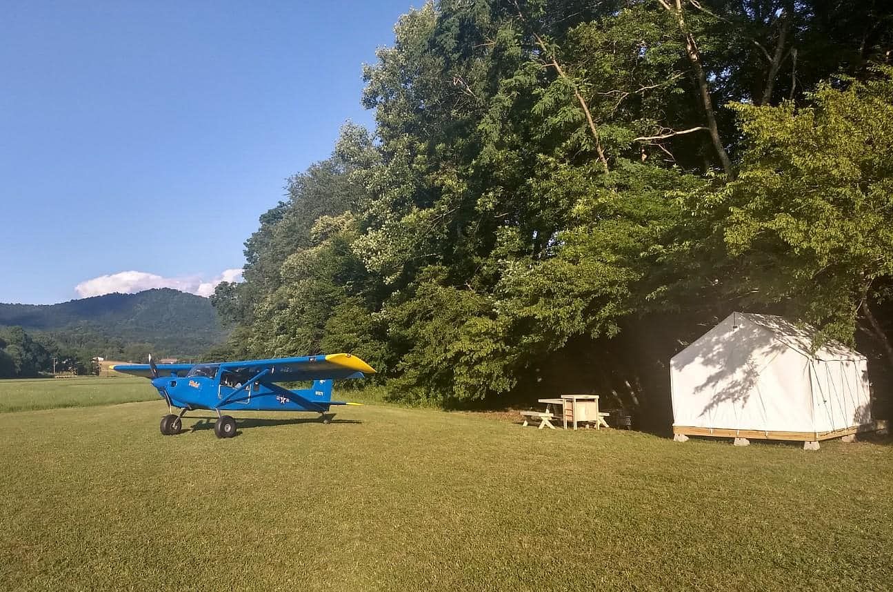
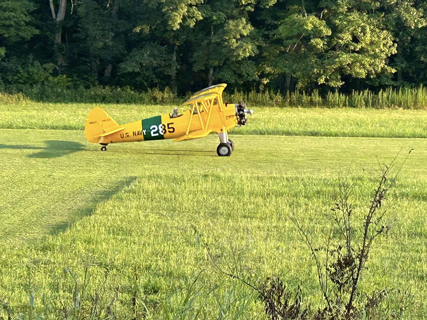
Runway 10/28:
1,300ft
Access: Private, but open to public with restrictions
Restricted: See https://www.oncourseaviationllc.com/operations for waiver information.
Similar Airports

Click/tap to add an annotation marker to the map
No webcams added yet.
Remarks
- Prior to 1959.
- Rwy 28 25 ft pole wires 170 ft from thr 120 ft r.
- For cd ctc washington artcc at 703-771-3587.
- Dec - apr rwy may be unusbl. call prior.
- Email mike.gwinn@oncourseaviationllc.com
Comments