Pirep is a free, collaborative database of all public and private airports. All pilots are welcome to contribute their local knowledge to any airport, no registration required.
No upcoming events. Is anything happening here soon?
Last updated: 2023-06-14 22:59:32 CDT
Airport Statistics
- Transient parking location
- Fuel pump location
- WiFi availability
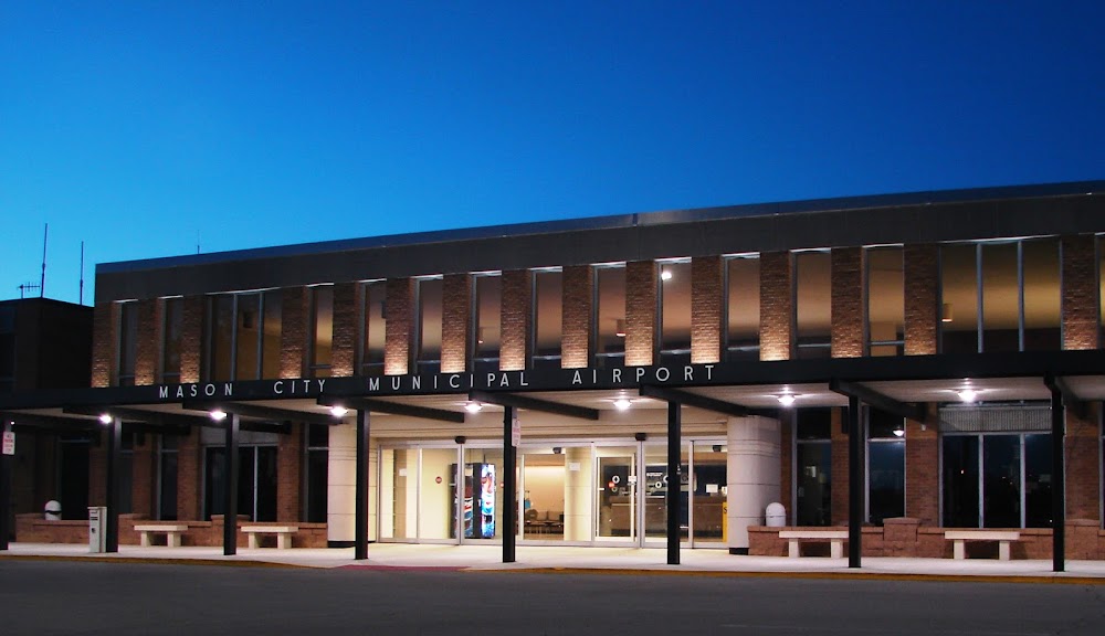
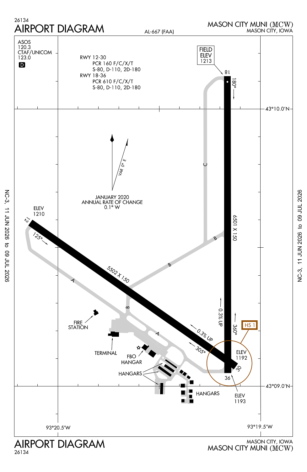
Location:
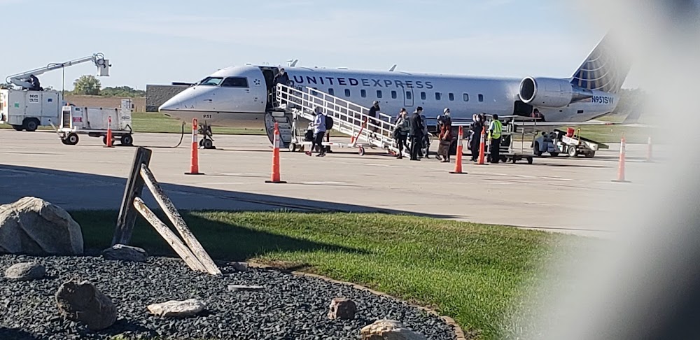
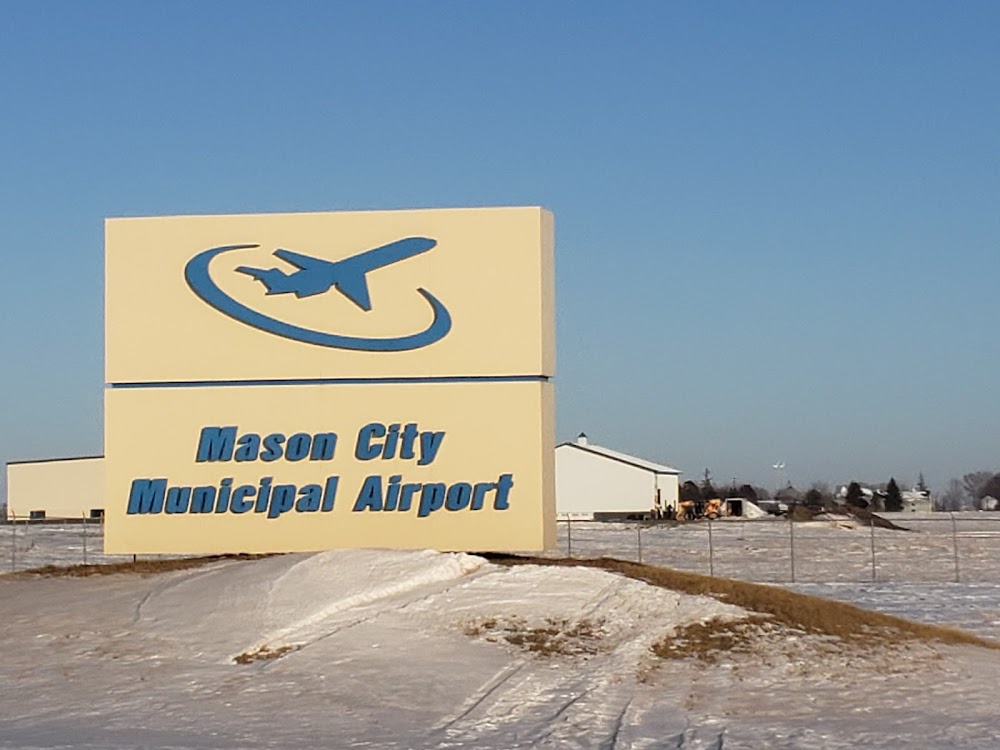
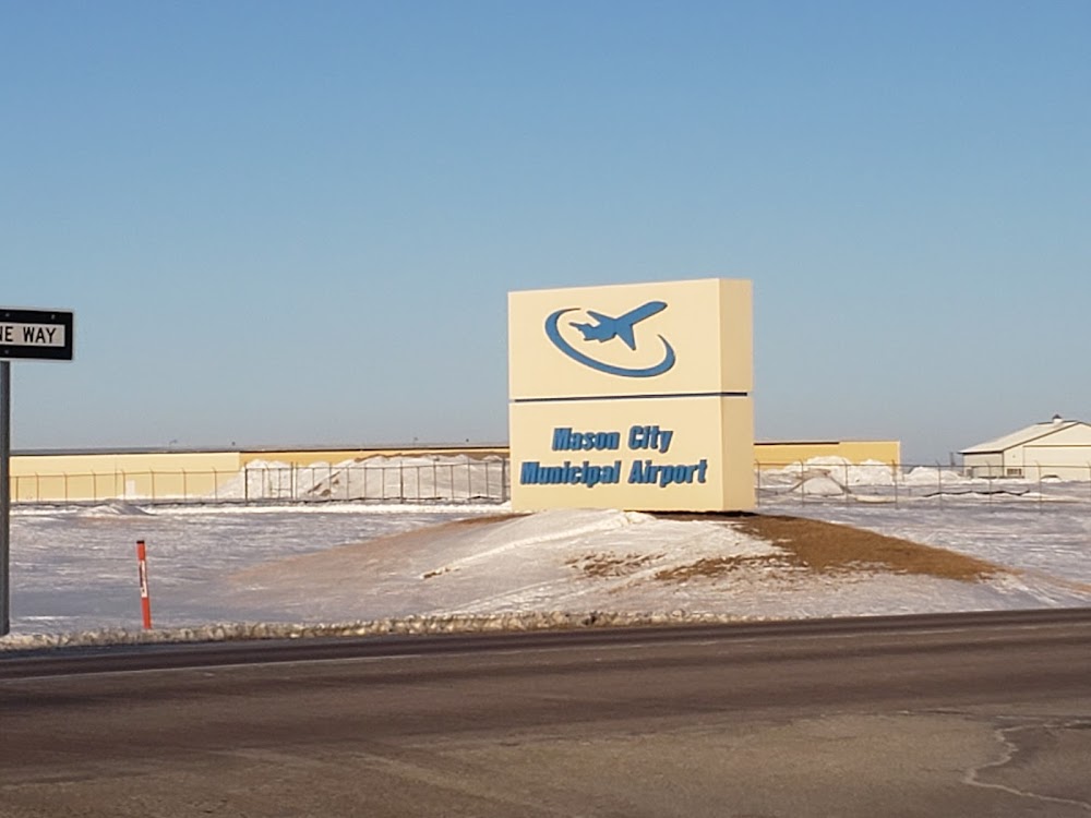
Mason City, IA
Elevation:
1,213ft
Sectional:
Omaha
Activation date:
Mar 1943
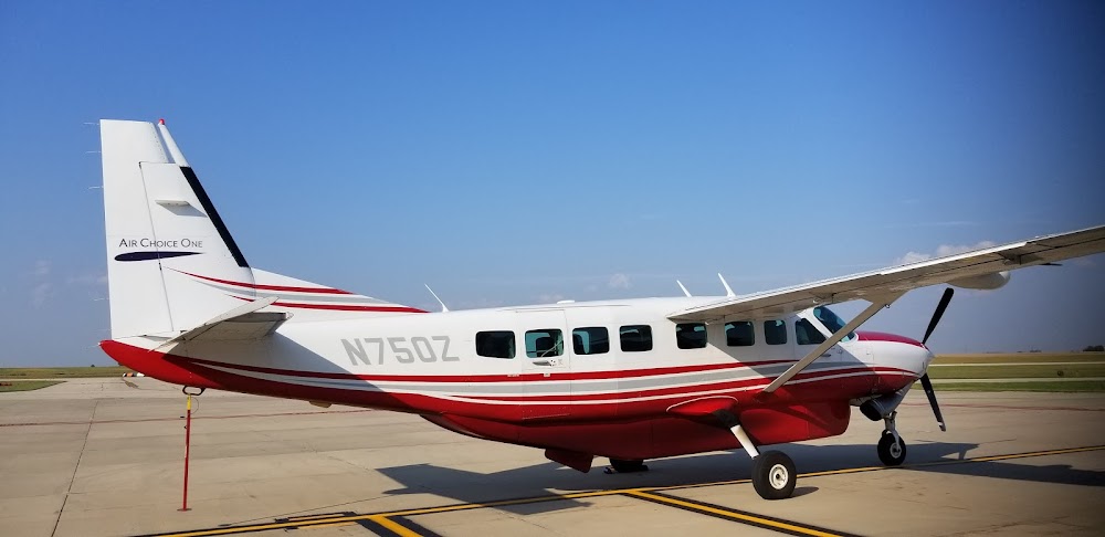
Fuel:
100LL, A (prices)
Runway 18/36:
6,501ft
Runway 12/30:
5,502ft
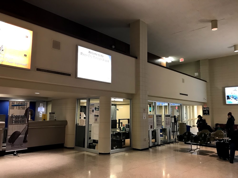
Access: Open to the public
Similar Airports

Current Weather — VFR
-
Weather data is strictly informational and not for flight planning purposes.
-
METAR2026-07-21 10:53:00 CDT
Ceiling: Sky clear Wind: 330° @ 18kt, gusts 29kt Temperature: 71°F Dewpoint: 59°F Weather: N/A Visbility: 10SM Clouds: Few @ 3,200ft Raw:METAR KMCW 211553Z AUTO 33018G29KT 10SM FEW032 22/15 A2994 RMK AO2 PK WND 33032/1533 SLP125 T02220150 -
TAF2026-07-21 09:00:00 CDT – 2026-07-21 11:00:00 CDT
Ceiling: 3,500ft Wind: 330° @ 14kt, gusts 24kt Weather: N/A Visbility: 6SM Clouds: Scattered @ 2,000ft, Broken @ 3,500ft Raw:TAF KMCW 211359Z 2114/2212 33014G24KT P6SM SCT020 BKN035 FM211600 33014G24KT P6SM SCT035 FM220300 34007KT P6SM FEW250 -
TAF2026-07-21 11:00:00 CDT – 2026-07-21 22:00:00 CDT
Ceiling: Sky clear Wind: 330° @ 14kt, gusts 24kt Weather: N/A Visbility: 6SM Clouds: Scattered @ 3,500ft Raw:TAF KMCW 211359Z 2114/2212 33014G24KT P6SM SCT020 BKN035 FM211600 33014G24KT P6SM SCT035 FM220300 34007KT P6SM FEW250 -
TAF2026-07-21 22:00:00 CDT – 2026-07-22 07:00:00 CDT
Ceiling: Sky clear Wind: 340° @ 7kt Weather: N/A Visbility: 6SM Clouds: Few @ 25,000ft Raw:TAF KMCW 211359Z 2114/2212 33014G24KT P6SM SCT020 BKN035 FM211600 33014G24KT P6SM SCT035 FM220300 34007KT P6SM FEW250
Click/tap to add an annotation marker to the map
No webcams added yet.
Remarks
- Index c available ppr ctc arpt ops 641-430-0980.
- Bird actvty on & invof arpt.
- Landing fee for all commercial operated acft.
- Due to ry & twy end elev differentials & acft height; pilots may lose line of sight of other acft on opposing ry & twy ends. all dep/arr acft use ctaf.
- Ry 30 is calm wind ry.
Comments