Pirep is a free, collaborative database of all public and private airports. All pilots are welcome to contribute their local knowledge to any airport, no registration required.


Public
Undocumented
METAR / TAF
Edit Tags
No upcoming events. Is anything happening here soon?
Airport Statistics
- Local flying clubs
- WiFi availability
- Tags
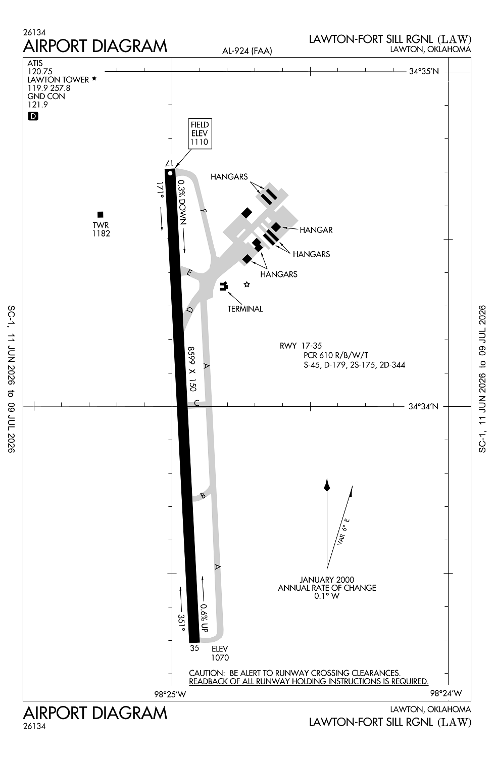
Location:
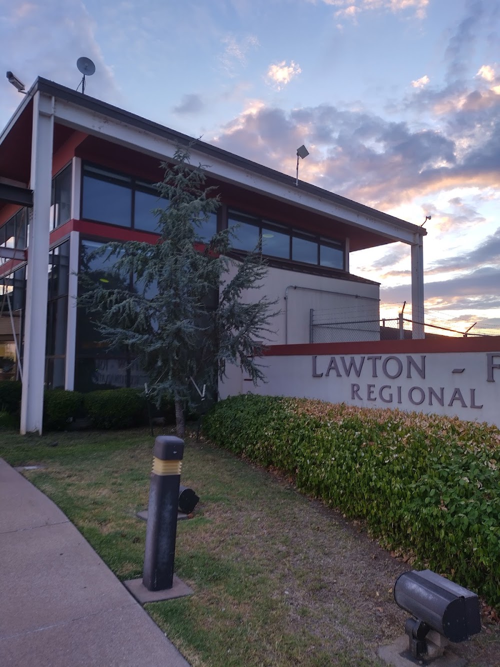
Lawton, OK
Elevation:
1,110ft
Sectional:
Dallas Ft Worth
Activation date:
Dec 1948
Fuel:
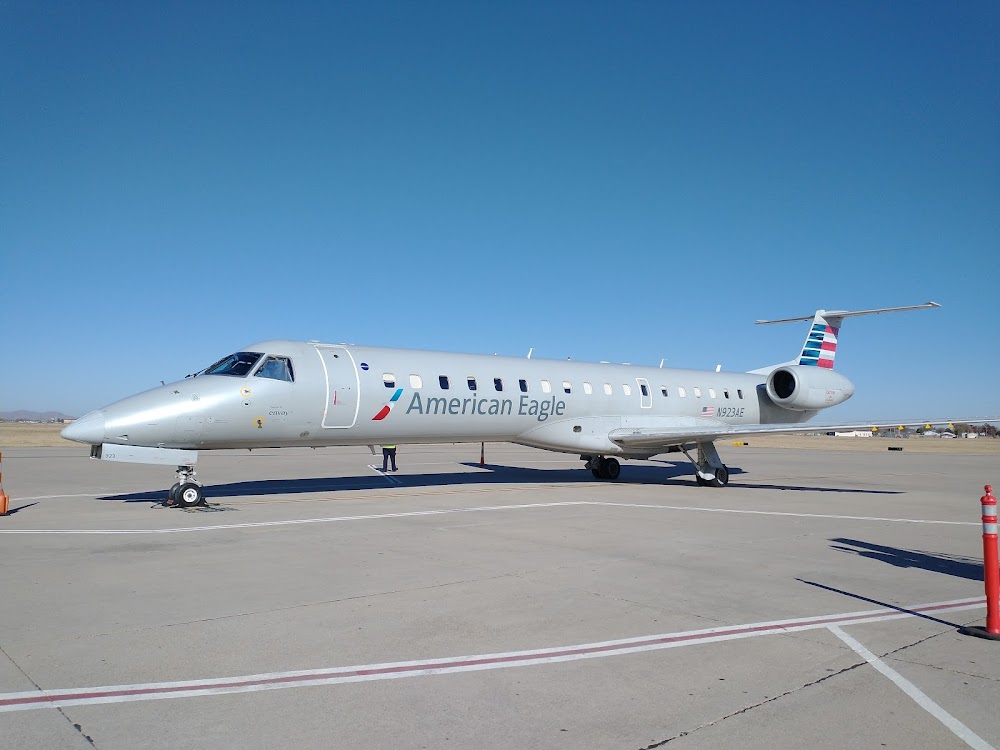
100LL, A1+ (prices)
Runway 17/35:
8,599ft
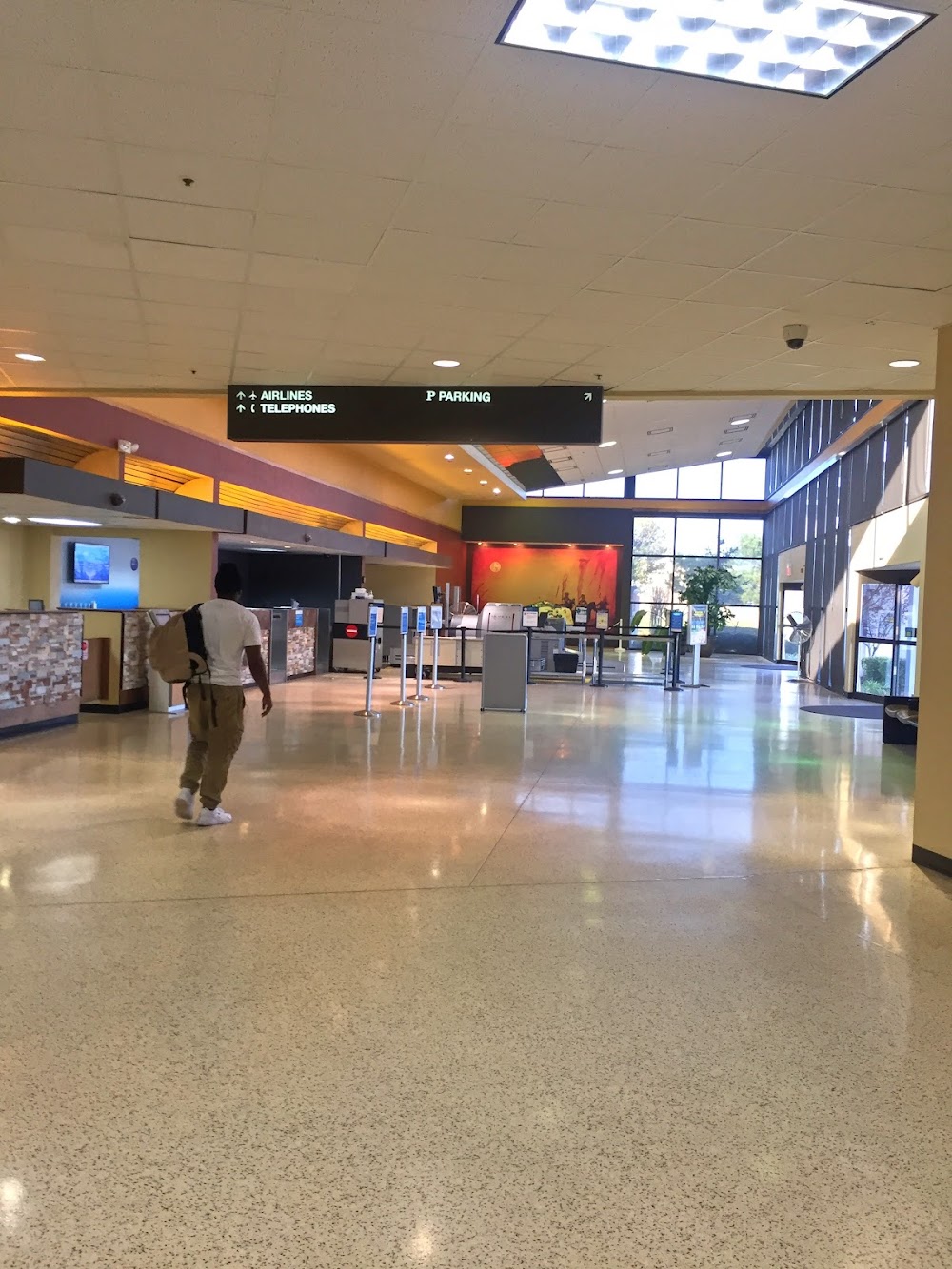
Access: Open to the public
Current Weather — VFR
-
Weather data is strictly informational and not for flight planning purposes.
-
METAR2026-07-21 11:53:00 CDT
Ceiling: Sky clear Wind: 020° @ 5kt Temperature: 98°F Dewpoint: 68°F Weather: N/A Visbility: 10SM Raw:METAR KLAW 211653Z 02005KT 10SM CLR 37/20 A2994 RMK AO2 SLP122 T03720200 $ -
TAF2026-07-21 13:00:00 CDT – 2026-07-21 19:00:00 CDT
Ceiling: Sky clear Wind: 290° @ 5kt Weather: N/A Visbility: 6SM Clouds: Few @ 8,000ft Raw:TAF KLAW 211720Z 2118/2218 29005KT P6SM FEW080 FM220000 09006KT P6SM SKC -
TAF2026-07-21 19:00:00 CDT – 2026-07-22 13:00:00 CDT
Ceiling: Sky clear Wind: 090° @ 6kt Weather: N/A Visbility: 6SM Clouds: @ ft Raw:TAF KLAW 211720Z 2118/2218 29005KT P6SM FEW080 FM220000 09006KT P6SM SKC
Click/tap to add an annotation marker to the map
No webcams added yet.
Remarks
- This airport has been surveyed by the national geodetic survey.
- Pre dates the act.
- Ppr for unsked part 121 acr ops with more than 30 pax seats - amgr.
- When atct clsd arff avbl through fort sill apch.
- Birds on & invof arpt.
Comments