Pirep is a free, collaborative database of all public and private airports. All pilots are welcome to contribute their local knowledge to any airport, no registration required.
Events
Public
Undocumented
METAR / TAF
Edit Tags
Upcoming Events
-
Sat, Oct 24 2026 9:00am – Sun, Oct 25 2026 5:00pm
- Event webpage: https://www.amigoairsho.com
Airport Statistics
- Local flying clubs
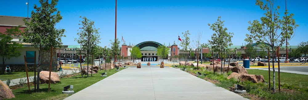
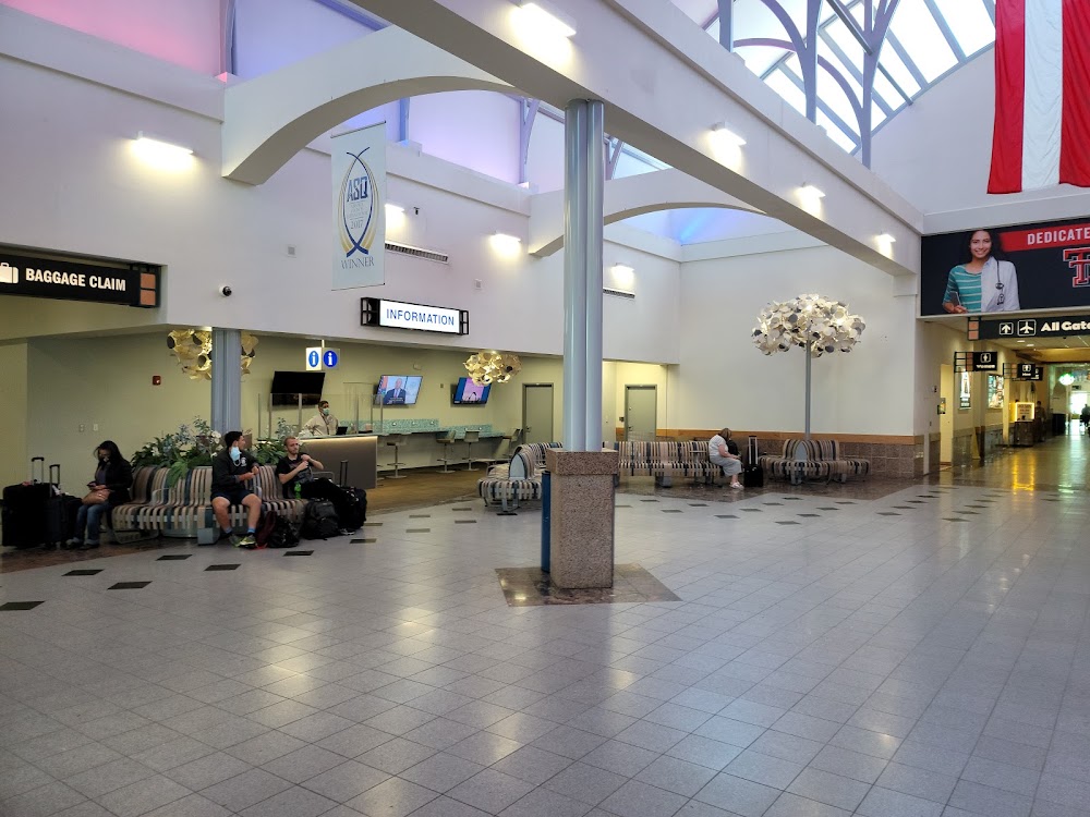
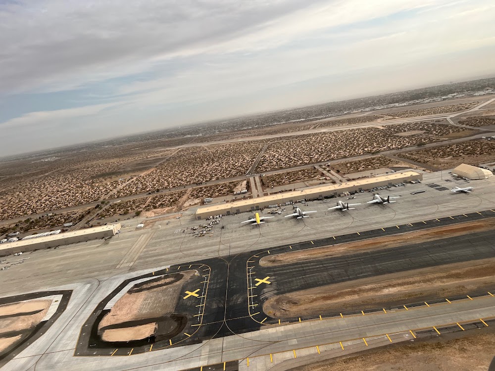
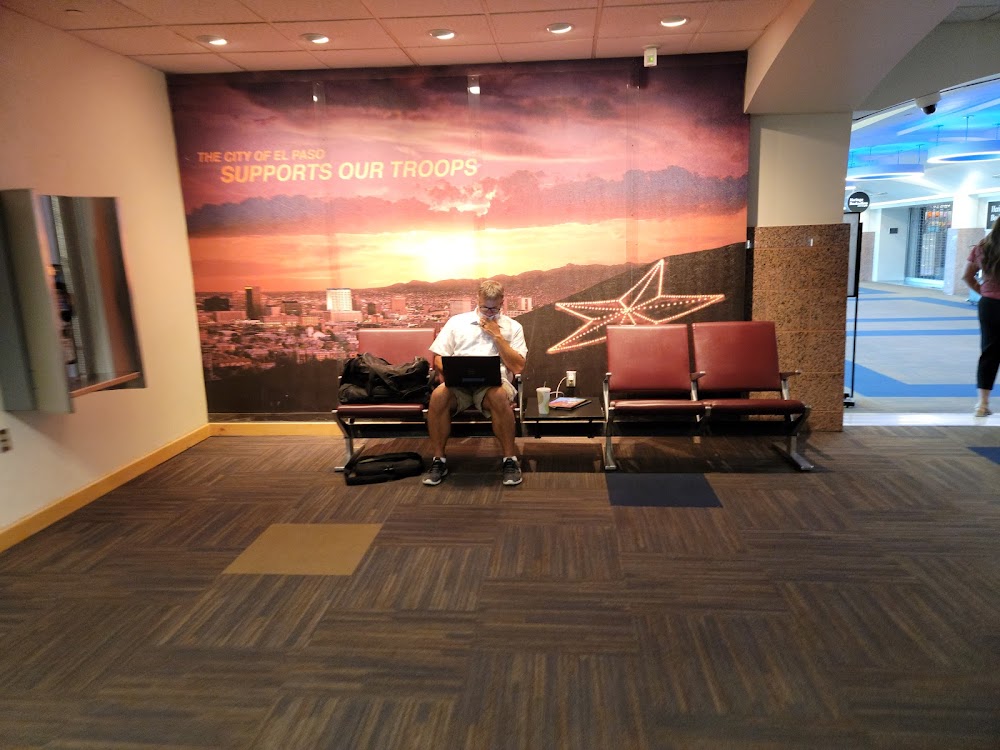
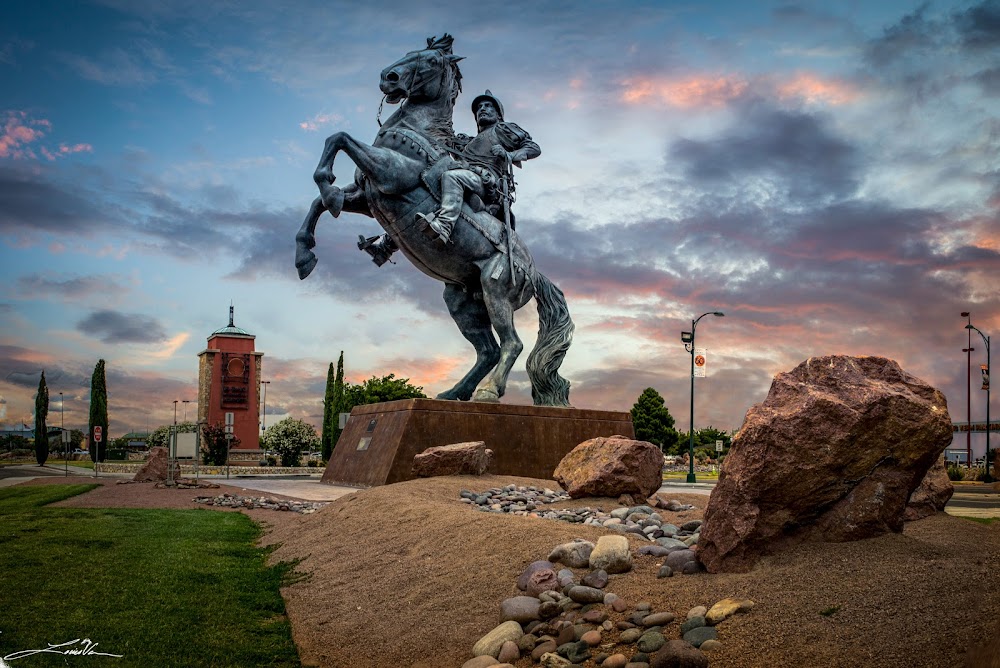
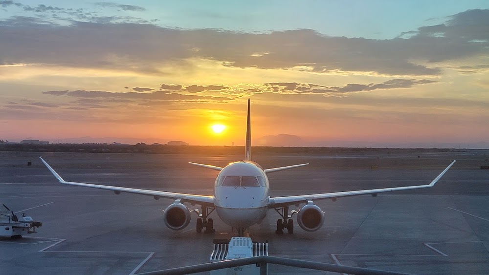
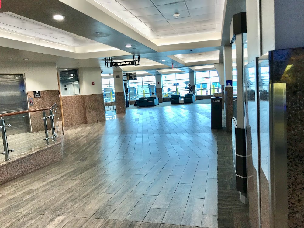
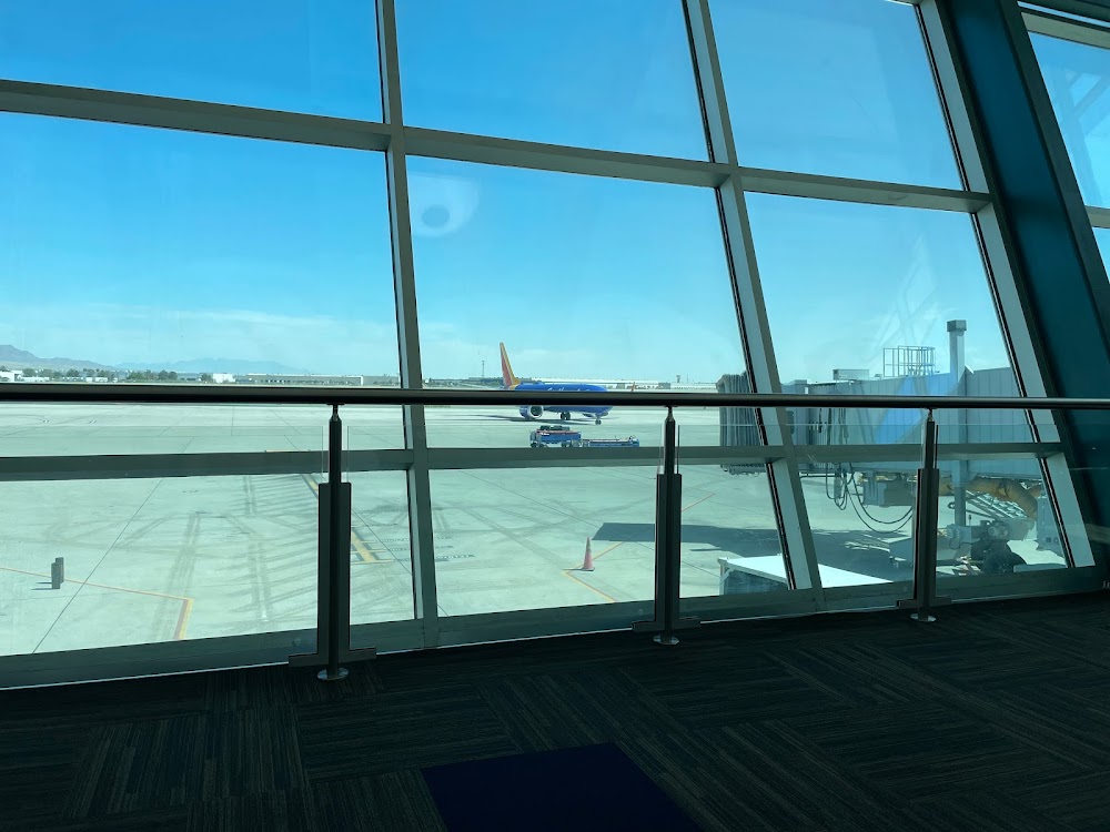
- Airport photos
- General description
Location:
El Paso, TX
Elevation:
3,961ft
Sectional:
El Paso
Activation date:
Nov 1938
Fuel:
100LL, A1+
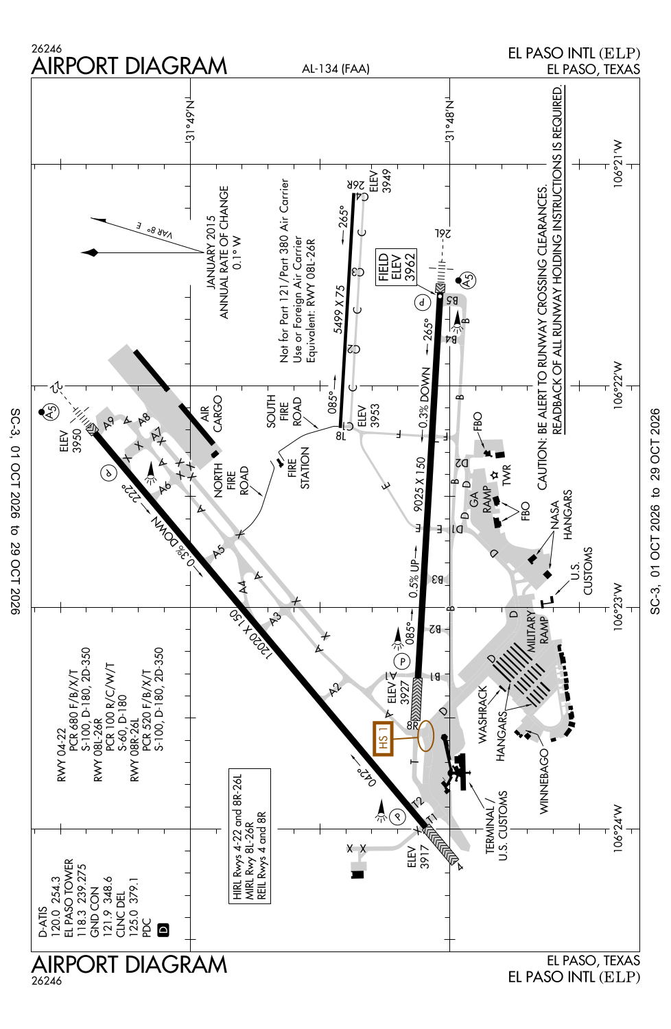
Runway 04/22:
12,020ft
Runway 08R/26L:
9,025ft
Runway 08L/26R:
5,499ft
Access: Open to the public
Current Weather — VFR
-
Weather data is strictly informational and not for flight planning purposes.
-
METAR2026-10-10 00:51:00 MDT
Ceiling: Sky clear Wind: Calm Temperature: 66°F Dewpoint: 46°F Weather: N/A Visbility: 10SM Raw:METAR KELP 100651Z 00000KT 10SM CLR 19/08 A3002 RMK AO2 SLP098 T01940083 402780150 $ -
TAF2026-10-10 00:00:00 MDT – 2026-10-10 11:00:00 MDT
Ceiling: Sky clear Wind: Variable Weather: N/A Visbility: 6SM Clouds: @ ft Raw:TAF KELP 100533Z 1006/1106 VRB05KT P6SM SKC FM101700 15009G18KT P6SM FEW070 SCT120 FM110000 14005KT P6SM BKN100 -
TAF2026-10-10 11:00:00 MDT – 2026-10-10 18:00:00 MDT
Ceiling: Sky clear Wind: 150° @ 9kt, gusts 18kt Weather: N/A Visbility: 6SM Clouds: Few @ 7,000ft, Scattered @ 12,000ft Raw:TAF KELP 100533Z 1006/1106 VRB05KT P6SM SKC FM101700 15009G18KT P6SM FEW070 SCT120 FM110000 14005KT P6SM BKN100 -
TAF2026-10-10 18:00:00 MDT – 2026-10-11 00:00:00 MDT
Ceiling: 10,000ft Wind: 140° @ 5kt Weather: N/A Visbility: 6SM Clouds: Broken @ 10,000ft Raw:TAF KELP 100533Z 1006/1106 VRB05KT P6SM SKC FM101700 15009G18KT P6SM FEW070 SCT120 FM110000 14005KT P6SM BKN100
Click/tap to add an annotation marker to the map
No webcams added yet.
Remarks
- 24 hr ppr class a explosives ctc 915-212-0333.
- Ctn: biggs aaf 2nm nw rwy 22 can be mistaken for elp rwy 22.
- North bound tfc prohibited on twy f south of apch end rwy 08r.
- Twy t1; twy a ne of twy a7; twy a8 and twy a9 not visible fm atct.
- Rwy 4 holding position markings are located adjacent to the terminal apron on twy t1, t2
Comments