Pirep is a free, collaborative database of all public and private airports. All pilots are welcome to contribute their local knowledge to any airport, no registration required.

Public
Undocumented
Edit Tags
No upcoming events. Is anything happening here soon?
Airport Statistics
- Webcam links
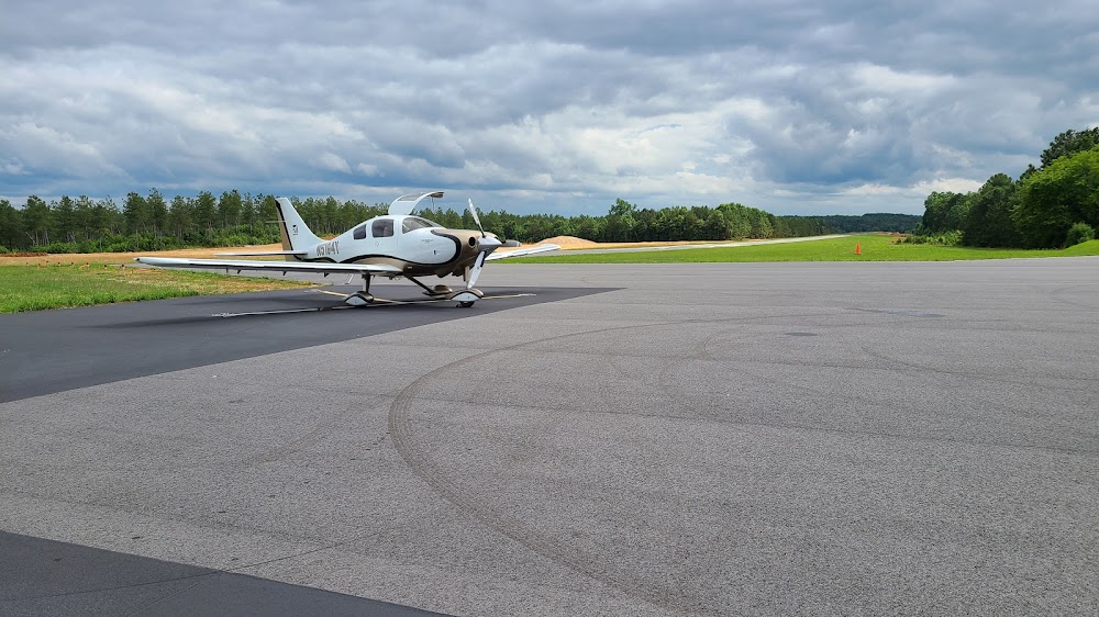
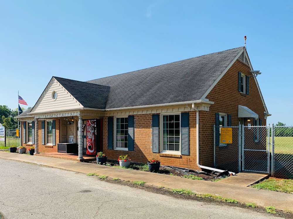
- Airport photos
- Fuel pump location
Location:
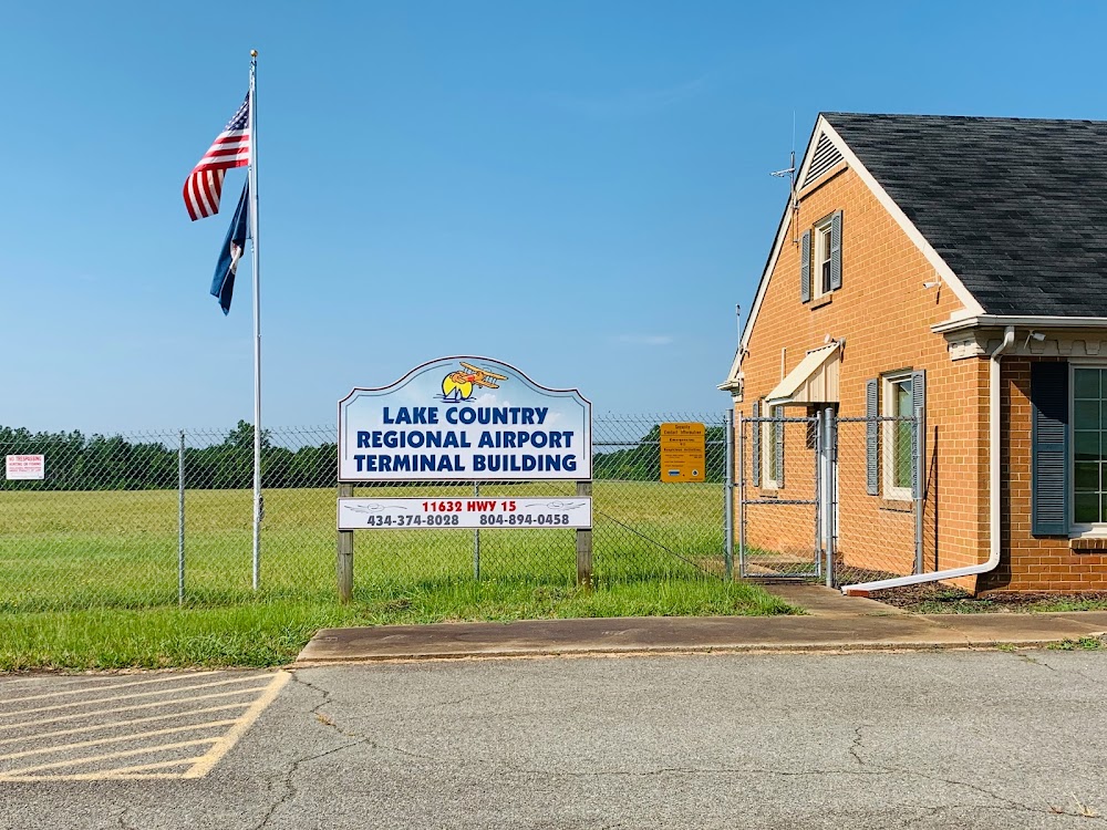
Clarksville, VA
Elevation:
420ft
Sectional:
Washington
Activation date:
Mar 1961
Fuel:
100LL
Runway 04/22:
4,007ft
Access: Open to the public
Click/tap to add an annotation marker to the map
No webcams added yet.
Remarks
- Wildlife invof arpt.
- Self svc fuel avbl.
- For cd ctc washington artcc at 703-771-3587.
- Close-in obstn, 27 ft abv rwy sfc, row of trees 179 ft right of cntrln on apch.
- Ryw 22 apch slope 15:1 to dsplcd thr from 82 ft tree 1502 ft fr dsplcd thr, 142 ft l.
Comments