Pirep is a free, collaborative database of all public and private airports. All pilots are welcome to contribute their local knowledge to any airport, no registration required.
Sadly, this airport is reportedly closed based on it being removed from the FAA's database.
Public
Undocumented
Closed
Edit Tags
No upcoming events. Is anything happening here soon?
Airport Statistics
- General description
- Crew car availability
- Transient parking location
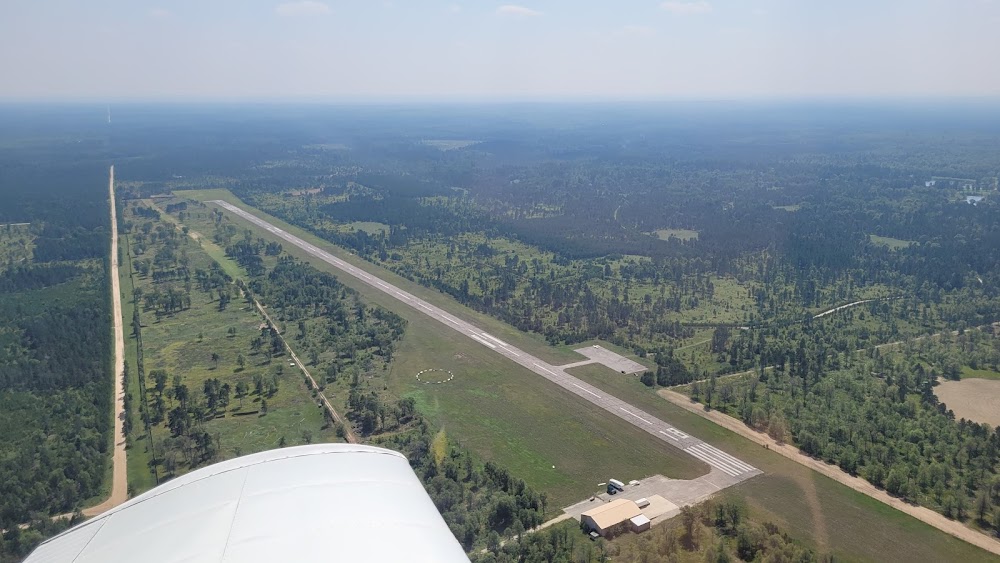
Location:
Lewiston, MI
Elevation:
1,218ft
Sectional:
Lake Huron
Activation date:
Jul 1989
Closed date:
Feb 2024
Fuel:
None
Runway 18/36:
5,047ft
Access: Open to the public
This airport is privately owned but open to the public.
Click/tap to add an annotation marker to the map
No webcams added yet.
Remarks
- Prvdd the area 125 ft either side of ry cntrln & 200 ft off ry ends is clear; remove or lower obstn for a clear 20:1 apch.
- Actvt rotg bcn - ctaf.
- Fence around airport - access 5-3-2-1. keep gate clsd and locked.
- Non-aviation related cargo ops on north ramp. no acft parking. acft use west ramp.
- Vehicles crossing ry.
- For cd ctc minneapolis artcc at 651-463-5588.
- Apch ratio 20:1 based on straight out over 67 ft. trees, 1580 ft. dstc, 0 ft. both.
- Apch ratio 0:1 at dsplcd thld ovr 50 ft trees, 0 ft dstc, 165 ft r. 21:1 based on straight out ovr 57 ft. trees, 1250 ft dstc, 0 ft. both.
Comments