Pirep is a free, collaborative database of all public and private airports. All pilots are welcome to contribute their local knowledge to any airport, no registration required.
Public
Events
Edit Tags
Upcoming Events
-
Fri, Aug 7 2026 9:00am – Fri, Aug 7 2026 9:07pm
Repeats every month on the 7th- Host: cashmereairport@gmail.com
Last updated: 2024-01-08 21:11:39 PST
Last updated: 2024-01-05 10:43:47 PST
Last updated: 2024-01-08 21:10:35 PST
Last updated: 2024-01-05 10:43:47 PST
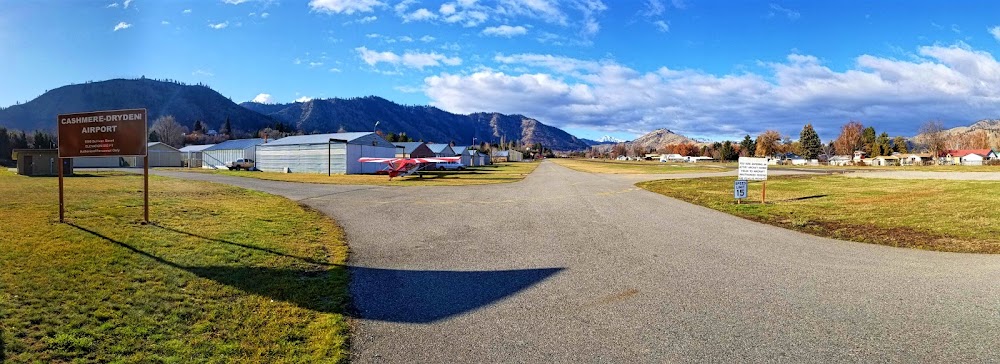
Airport Statistics
- Landing & tie-down fees
- Local flying clubs
- Airport photos
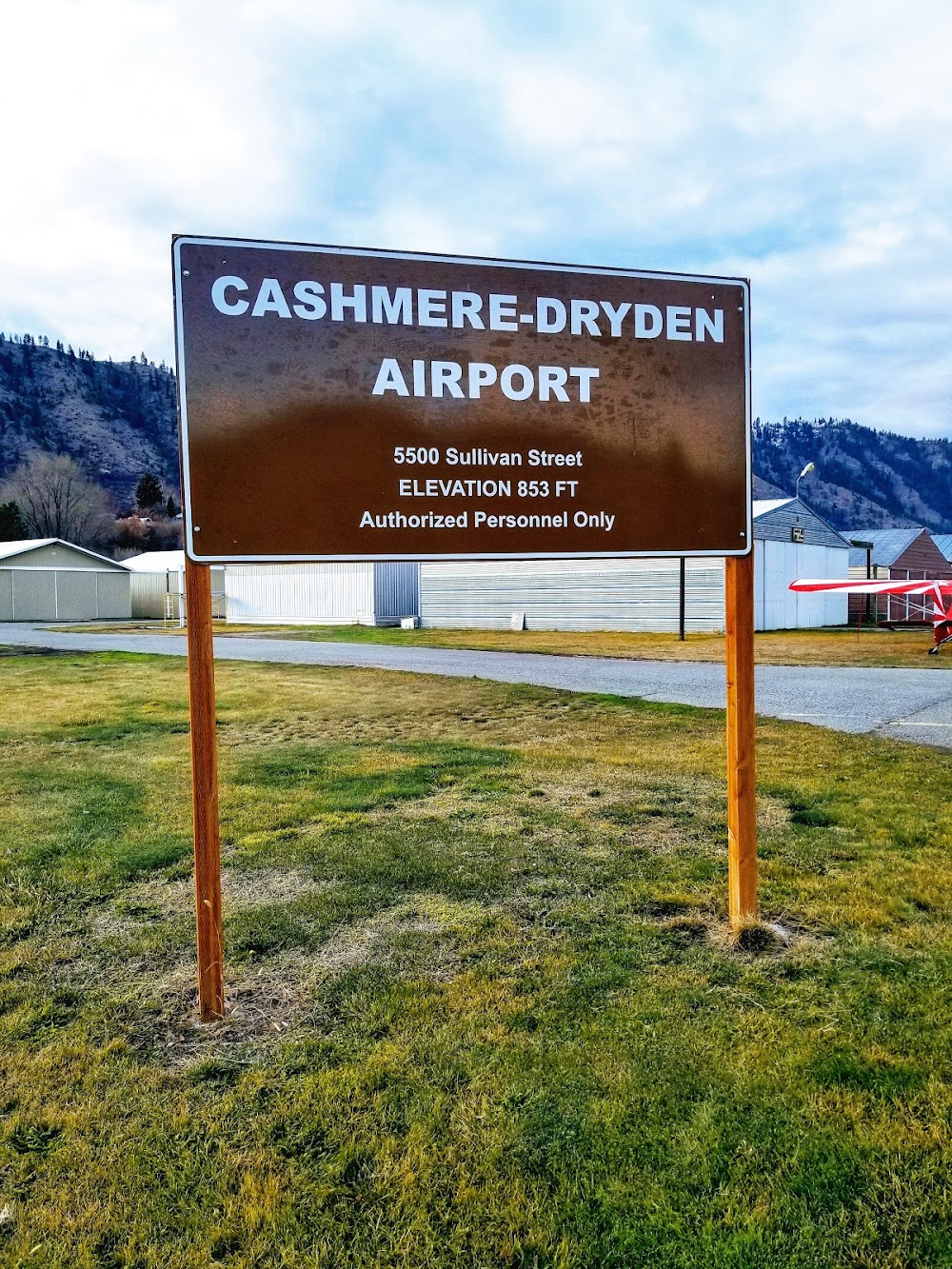
Location:
Cashmere, WA
Elevation:
857ft
Sectional:
Seattle
Activation date:
Jul 1950
Fuel:
None
Runway 07/25:
1,800ft
Access: Open to the public
Click/tap to add an annotation marker to the map
No webcams added yet.
Remarks
- Estbd prior to may 1959.
- Actvt bcn - 121.7.
- Numerous objects in transition sfcs.
- Trees in prim sfc ry 07.
- Exit rwy at twys only.
- Ground vehicles and pedestrians use twy for hangar access.
- Radio control model activity permitted, on west end of arpt.
- For cd ctc seattle artcc at 253-351-3694.
Comments