Pirep is a free, collaborative database of all public and private airports. All pilots are welcome to contribute their local knowledge to any airport, no registration required.
Private
Undocumented
Edit Tags
No upcoming events. Is anything happening here soon?
Airport Statistics
- WiFi availability
- General description
- Landing & tie-down fees
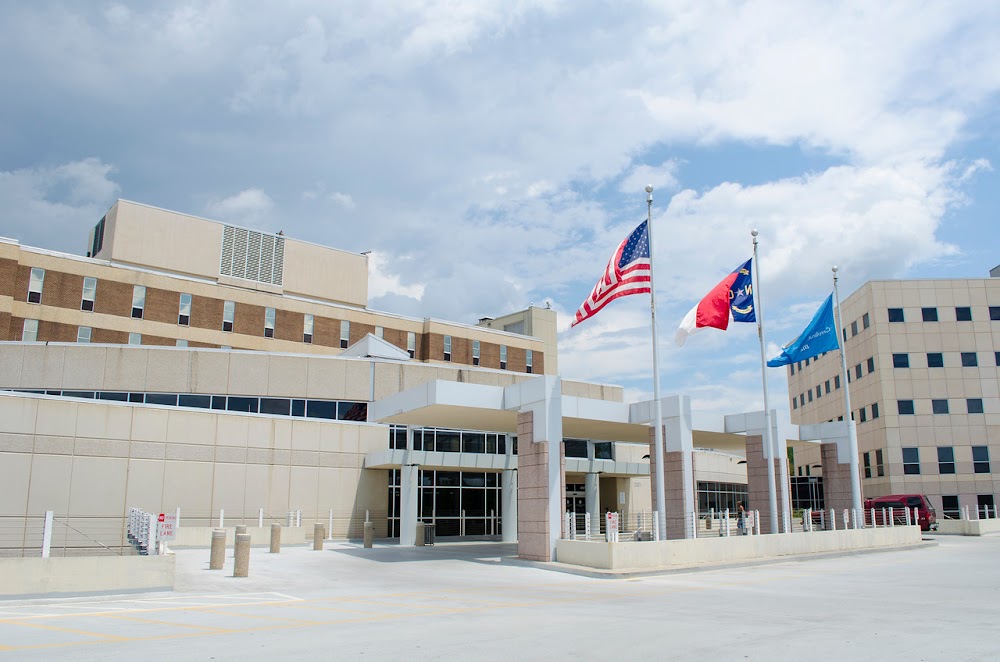
Location:
Morganton, NC
Elevation:
1,233ft
Sectional:
Charlotte
Activation date:
Jul 1986
Fuel:
None
Runway H1:
50ft
Runway H2:
45ft
Access: Private to everyone
Is this airport privately owned but open to the public with or without restrictions? Or perhaps the owner is simply happy for pilots to stop by with prior permission?
Click/tap to add an annotation marker to the map
No webcams added yet.
Remarks
- Vfr pvt use; apch/dep opns 130 deg to 315 deg; tkof/ldg area aproply mkd; non-obstng wind indcr mntnd.
- +4 ft perimeter fence 60 ft fm h1 pad.
- For cd ctc atlanta artcc at 770-210-7692.
- 75 ft ant twr 300 ft east; 75 ft bldg 300 ft south.
- H2 helipad fato length x width, 73 ft x 73 ft. safety area length x width, 96 ft x 92 ft. primary ingress 300, primary egress 120.
- Sfc is aluminum.
Comments