Pirep is a free, collaborative database of all public and private airports. All pilots are welcome to contribute their local knowledge to any airport, no registration required.
Public
Undocumented
Edit Tags
No upcoming events. Is anything happening here soon?
Airport Statistics
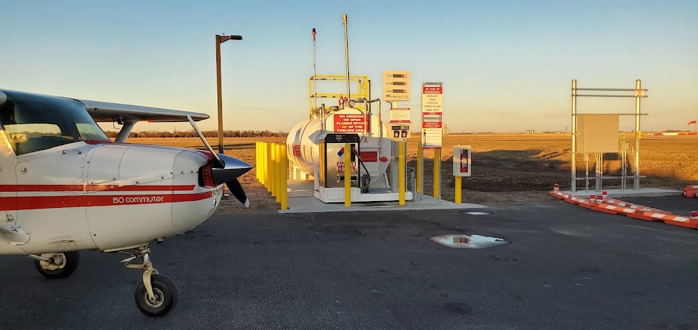
- Fuel pump location
- Tags
- Crew car availability
Location:
David City, NE
Elevation:
1,617ft
Sectional:
Omaha
Activation date:
Apr 1948
Fuel:
100LL
Runway 14/32:
3,676ft
Runway 01/19:
2,114ft
Access: Open to the public
Click/tap to add an annotation marker to the map
No webcams added yet.
Remarks
- Estab prior to 1959.
- For cd ctc omaha apch at 402-682-4395.
- Fuel avbl h24 via credit card.
- Actvt papi rwy 14 & 32; mirl rwy 14/32 - ctaf.
- For svcs or emerg, call 402-367-3109/7400.
- Rwy 01/19 not plowed winter months.
- Rwy 14 clnc slp 33:1 for tree 1892 ft out, 58 ft abv, 89r. 37:1 fm dsplcd thld for road.
- Rwy 01 slope 37:1, due to fence 4 ft abv, 148 ft from rwy end, 134r.
Comments