Pirep is a free, collaborative database of all public and private airports. All pilots are welcome to contribute their local knowledge to any airport, no registration required.


Private
Undocumented
Edit Tags
No upcoming events. Is anything happening here soon?
Airport Statistics
- Transient parking location
- Fuel pump location
- Tags
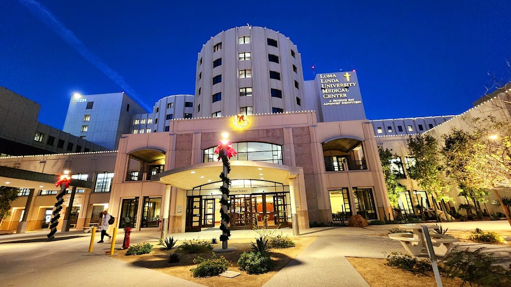
Location:
Loma Linda, CA
Elevation:
1,380ft
Sectional:
Los Angeles
Activation date:
Jan 1970
Fuel:
None
Runway H1:
65ft
Runway H3:
54ft
Runway H2:
51ft
Access: Private to everyone
Is this airport privately owned but open to the public with or without restrictions? Or perhaps the owner is simply happy for pilots to stop by with prior permission?
Click/tap to add an annotation marker to the map
No webcams added yet.
Remarks
- Private use.
- Rotg bcn is non std.
- Medical.
- For cd ctc los angeles artcc at 661-575-2079.
- Arp coordinates were calculated using the ngs arp calculator.
- Email: engo@llu.edu
- H1 is east helipad.
- H2 is south helipad lctd 265 ft sw of h1 east helipad.
Comments