Pirep is a free, collaborative database of all public and private airports. All pilots are welcome to contribute their local knowledge to any airport, no registration required.

Public
Undocumented
METAR / TAF
Edit Tags
No upcoming events. Is anything happening here soon?
Airport Statistics
- Airport map annotations
- Airport photos
- Fuel pump location
Location:
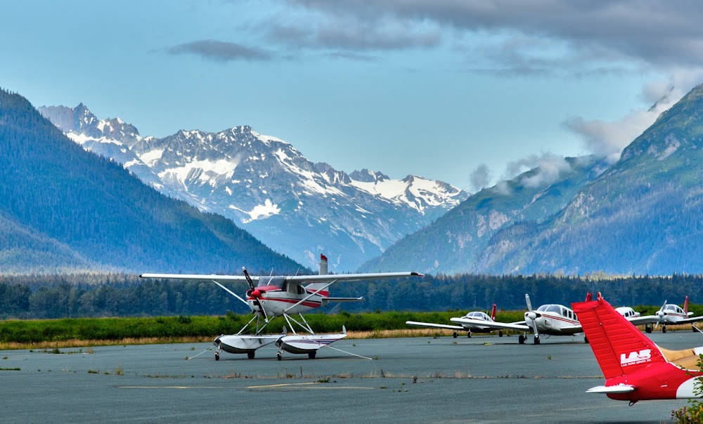
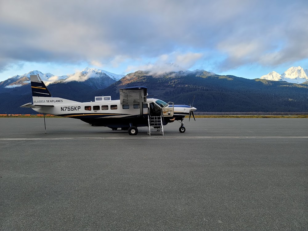
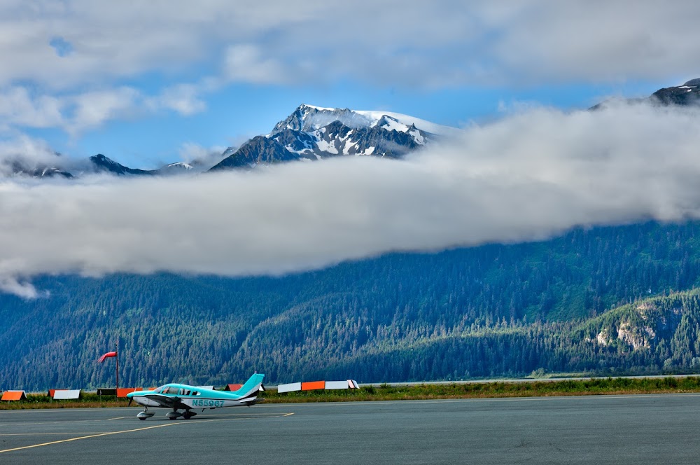
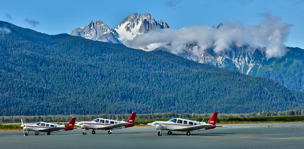
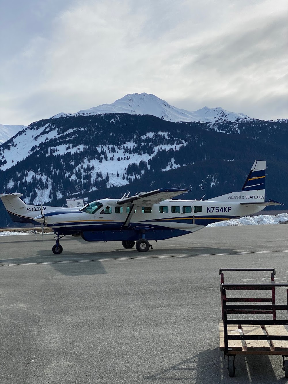
Haines, AK
Elevation:
29ft
Sectional:
Juneau
Activation date:
Feb 1947
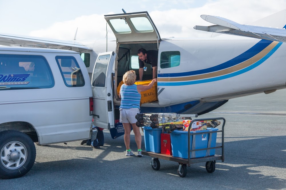
Fuel:
100LL, A (prices)
Runway 08/26:
4,000ft
Runway H1:
40ft
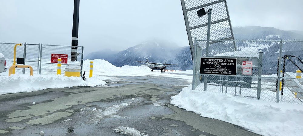
Access: Open to the public
Current Weather — VFR
-
Weather data is strictly informational and not for flight planning purposes.
-
METAR2026-07-21 02:54:00 AKDT
Ceiling: Sky clear Wind: Calm Temperature: 51°F Dewpoint: 48°F Weather: N/A Visbility: 10SM Raw:METAR PAHN 211054Z AUTO 00000KT 10SM CLR 11/09 A3012 RMK AO2 SLP202 T01060094 TSNO -
TAF2026-07-21 04:00:00 AKDT – 2026-07-21 11:00:00 AKDT
Ceiling: Sky clear Wind: Variable Weather: N/A Visbility: 6SM Clouds: @ ft Raw:TAF PAHN 211123Z 2112/2212 VRB02KT P6SM SKC FM211900 14008KT P6SM VCSH BKN070 FM220600 10008KT P6SM OVC050 AMD LTD TO CLD VIS AND WIND -
TAF2026-07-21 11:00:00 AKDT – 2026-07-21 22:00:00 AKDT
Ceiling: 7,000ft Wind: 140° @ 8kt Weather: Showers in vicinity Visbility: 6SM Clouds: Broken @ 7,000ft Raw:TAF PAHN 211123Z 2112/2212 VRB02KT P6SM SKC FM211900 14008KT P6SM VCSH BKN070 FM220600 10008KT P6SM OVC050 AMD LTD TO CLD VIS AND WIND -
TAF2026-07-21 22:00:00 AKDT – 2026-07-22 04:00:00 AKDT
Ceiling: 5,000ft Wind: 100° @ 8kt Weather: N/A Visbility: 6SM Clouds: Overcast @ 5,000ft Raw:TAF PAHN 211123Z 2112/2212 VRB02KT P6SM SKC FM211900 14008KT P6SM VCSH BKN070 FM220600 10008KT P6SM OVC050 AMD LTD TO CLD VIS AND WIND
Click/tap to add an annotation marker to the map
No webcams added yet.
Remarks
- Narrow apch fm nw, mtns both sides; turbc on nw apch, bluff nw.
- Birds, bears & moose on & invof arpt.
- Safety area 4600 ft x 150 ft; 300 ft gravel safety area each end.
- Arpt cond not mnt; arpt maint on ireg basis; visual insp rcmdd.
- Paja onto rwy.
- Clsd to acr ops with more than 30 pax seats.
- Rcmd dalgt ops only.
- Alert: see genots - enroute ctaf freqs.
Comments