Pirep is a free, collaborative database of all public and private airports. All pilots are welcome to contribute their local knowledge to any airport, no registration required.
Sadly, this airport is reportedly closed based on it being removed from the FAA's database.
Private
Undocumented
Closed
Edit Tags
No upcoming events. Is anything happening here soon?
Airport Statistics
- Fuel pump location
- Crew car availability
- Airport map annotations
Location:
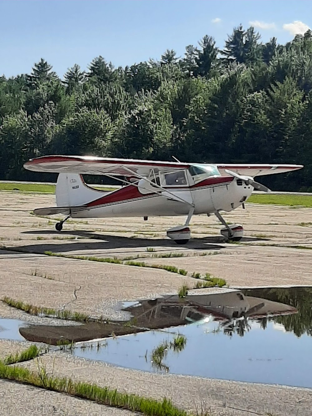
Moultonborough, NH
Elevation:
562ft
Sectional:
New York
Activation date:
Jul 2025
Closed date:
Jul 2026
Fuel:
None
Runway 02W/20W:
2,602ft
Runway H1:
50ft
Access: Private to everyone
Is this airport privately owned but open to the public with or without restrictions? Or perhaps the owner is simply happy for pilots to stop by with prior permission?
Click/tap to add an annotation marker to the map
No webcams added yet.
Remarks
- Prvdd vfr opns, pr use, wind indicator is maintained, and resolve any traffic pat conflicts with other arpts within 5 nm.
- For cd ctc boston apch at 603-594-5551.
- Windsock
- 90 ft trees all quadrants; 996 ft lighted tower 2.6 nm south; & 1144 ft lighted tower 3.8 nm west of pad.
Comments