Pirep is a free, collaborative database of all public and private airports. All pilots are welcome to contribute their local knowledge to any airport, no registration required.


Public
Undocumented
METAR / TAF
Edit Tags
No upcoming events. Is anything happening here soon?
Airport Statistics
- Fuel pump location
- Webcam links
- General description
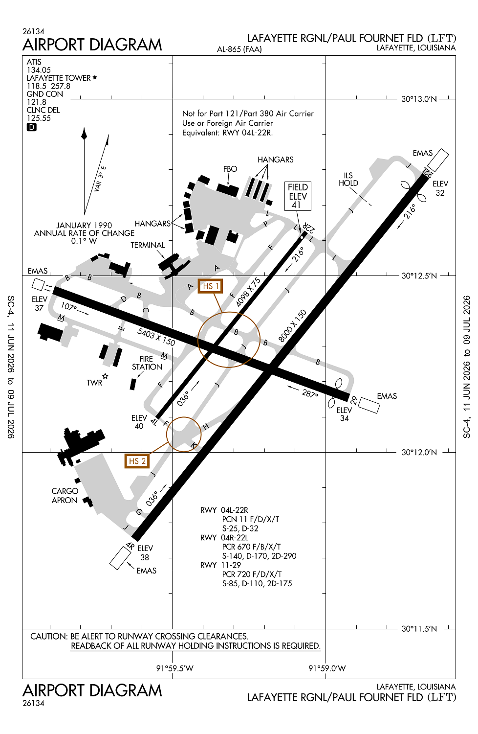
Location:
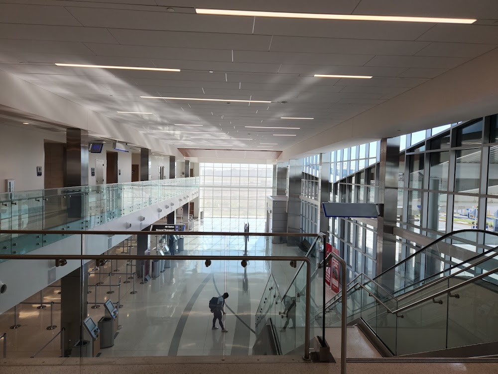
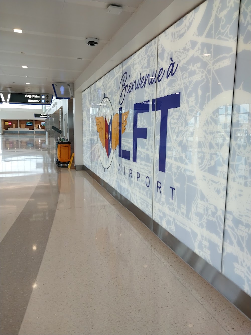
Lafayette, LA
Elevation:
40ft
Sectional:
Houston
Activation date:
Apr 1940
Fuel:
100LL, A, A+ (prices)
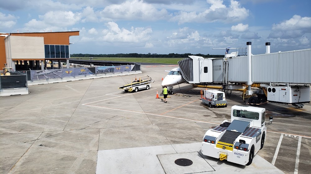
Runway 04R/22L:
8,000ft
Runway 11/29:
5,403ft
Runway 04L/22R:
4,098ft
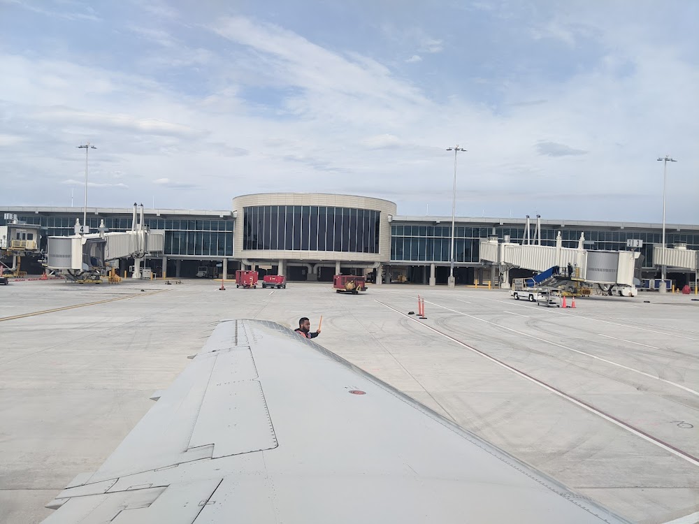
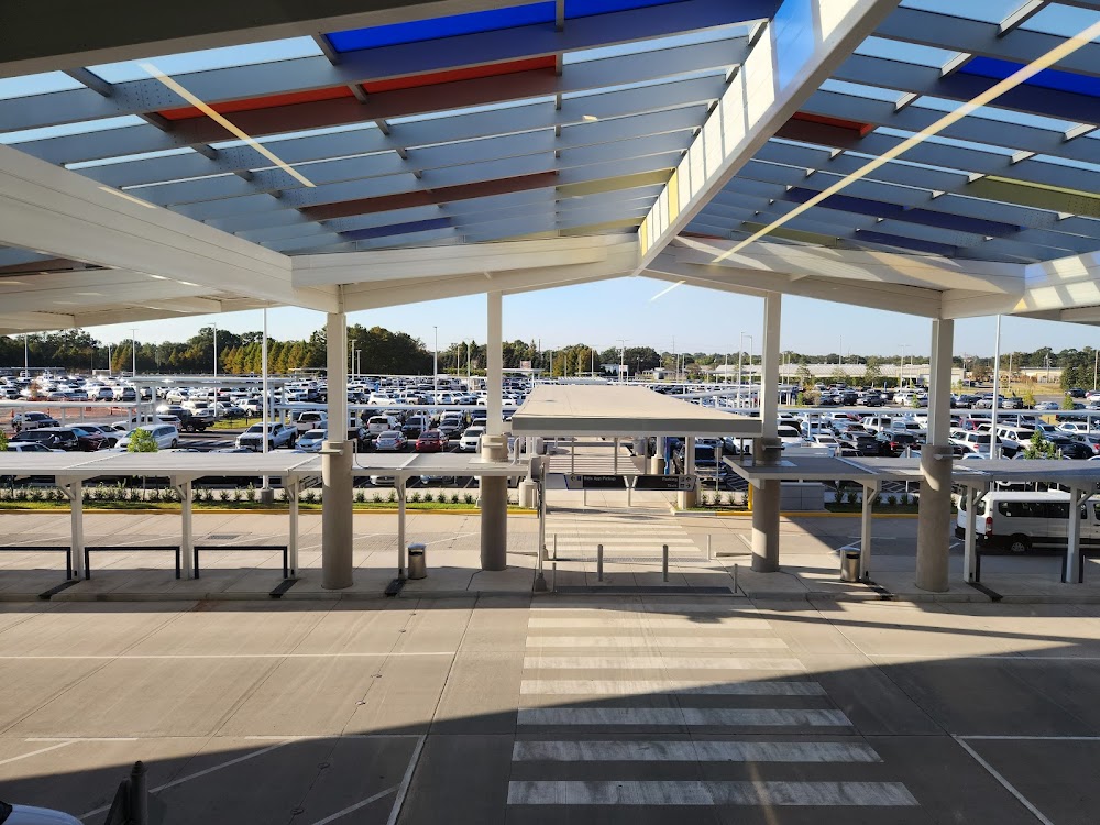
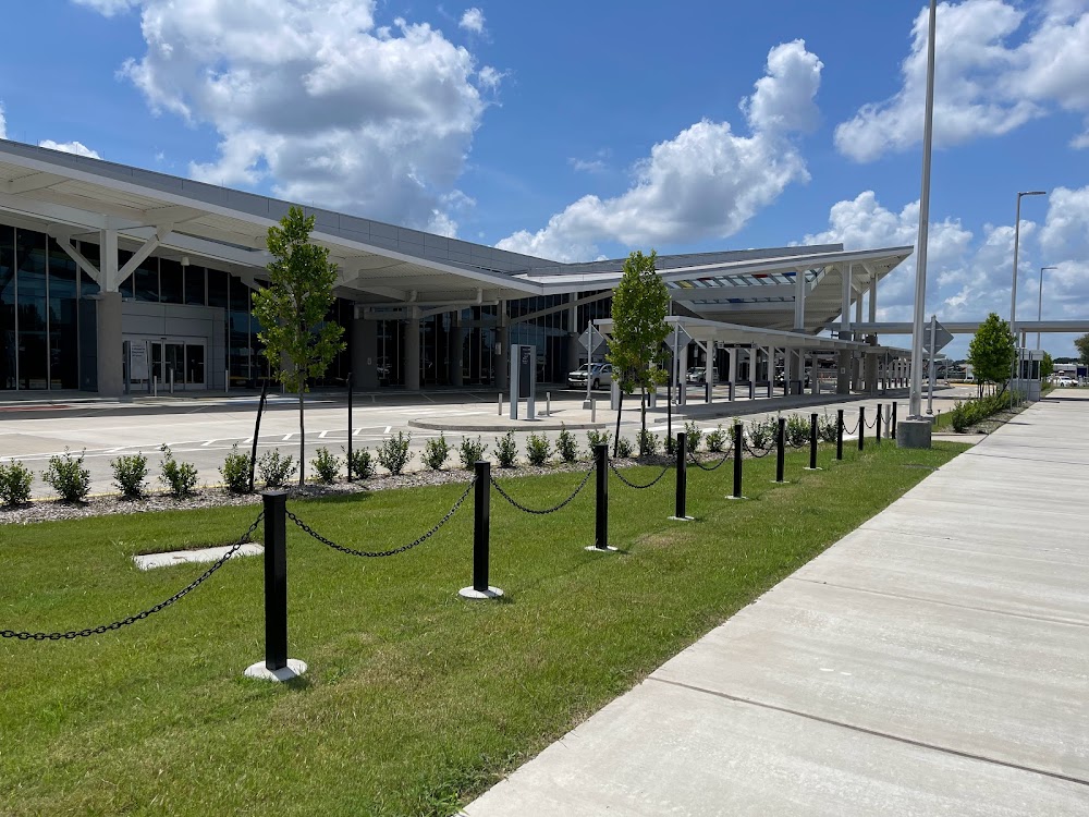
Access: Open to the public
Current Weather — VFR
-
Weather data is strictly informational and not for flight planning purposes.
-
METAR2026-07-21 11:53:00 CDT
Ceiling: Sky clear Wind: 330° @ 7kt Temperature: 93°F Dewpoint: 75°F Weather: N/A Visbility: 10SM Raw:METAR KLFT 211653Z 33007KT 10SM CLR 34/24 A2989 RMK AO2 SLP120 T03390244 -
TAF2026-07-21 13:00:00 CDT – 2026-07-21 19:00:00 CDT
Ceiling: Sky clear Wind: 330° @ 7kt Weather: N/A Visbility: 6SM Clouds: Few @ 24,000ft Raw:TAF KLFT 211720Z 2118/2218 33007KT P6SM FEW240 FM220000 31005KT P6SM BKN250 -
TAF2026-07-21 19:00:00 CDT – 2026-07-22 13:00:00 CDT
Ceiling: 25,000ft Wind: 310° @ 5kt Weather: N/A Visbility: 6SM Clouds: Broken @ 25,000ft Raw:TAF KLFT 211720Z 2118/2218 33007KT P6SM FEW240 FM220000 31005KT P6SM BKN250
Click/tap to add an annotation marker to the map
No webcams added yet.
Remarks
- Ppr for unscheduled acr opns with more than 30 psgr seats call amgr 337-703-4800.
- Rwy 11/29; rwy 04l/22r & rwy 04r/22l lgtd distance remaining signs.
- 155 ft oil rig 1 nm se of arpt.
- Migratory birds on & invof arpt.
- Ctc gnd ctl prior to push back fm terminal.
Comments