Pirep is a free, collaborative database of all public and private airports. All pilots are welcome to contribute their local knowledge to any airport, no registration required.
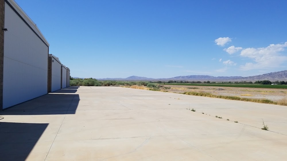
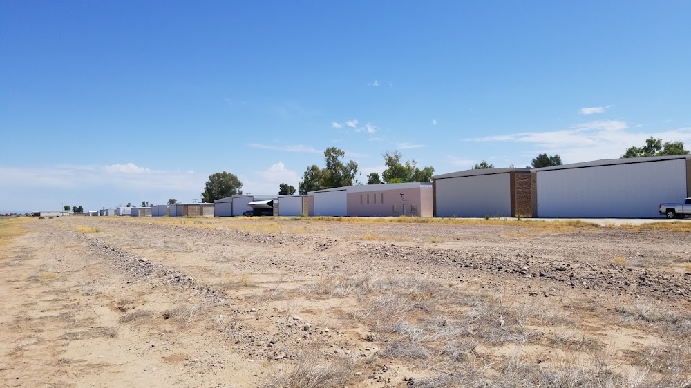
Sadly, this airport is reportedly closed based on it being removed from the FAA's database.
Public
Undocumented
Closed
Edit Tags
No upcoming events. Is anything happening here soon?
Airport Statistics
- Webcam links
- Airport map annotations
- WiFi availability
Location:
Bullhead City, AZ
Elevation:
485ft
Sectional:
Phoenix
Activation date:
Apr 1993
Closed date:
Apr 2025
Fuel:
None
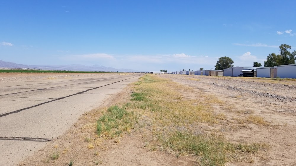
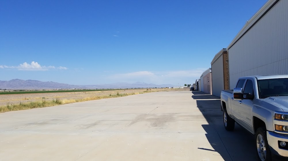
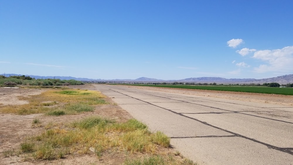
Runway 17/35:
4,800ft
Access: Open to the public
This airport is privately owned but open to the public.
Click/tap to add an annotation marker to the map
No webcams added yet.
Remarks
- Prvdd vfr only.
- Agricultural spraying ops on & invof arpt.
- Ry 17/35 +6-8 ft brush along east side of ry 60 ft fm centerline.
- Ry 17/35 +3 ft berm & + 10 ft. farm road along west side of ry 40 ft fm centerline for entire length of runway.
- For cd ctc los angeles artcc at 661-575-2079.
- Rwy 17 south end 18 ft parl bldg 66 ft l 114 ft fm dthr. apch slp 0:1 to dthr.
- Apch slp 0:1 to dthr.
- +3 ft berm & 10 ft road alg w side of rwy 40 ft fm cntrln full len. +6-8 ft brush alg e side of rwy 60 ft fm cntrln.
Comments