Pirep is a free, collaborative database of all public and private airports. All pilots are welcome to contribute their local knowledge to any airport, no registration required.



Public
Undocumented
METAR / TAF
Edit Tags
No upcoming events. Is anything happening here soon?
Last updated: 2024-01-10 20:25:11 CST
Airport Statistics
- Airport map annotations
- Landing & tie-down fees
- Fuel pump location
Location:
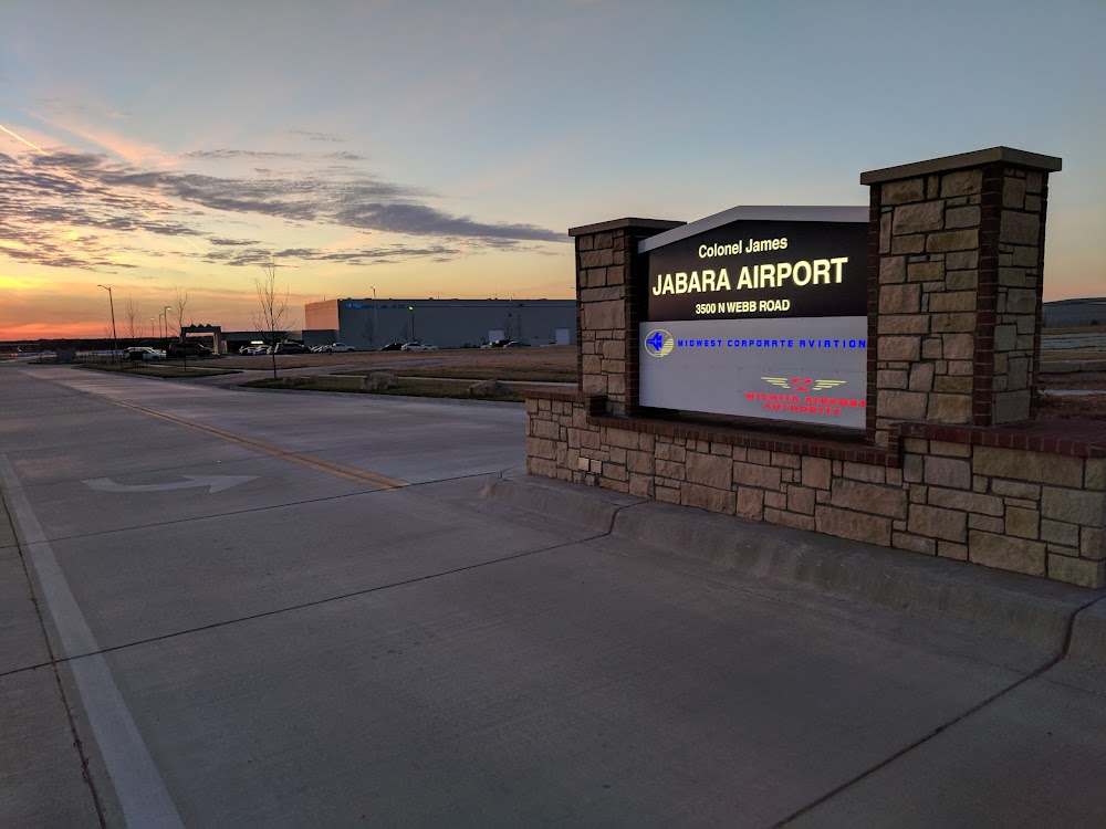
Wichita, KS
Elevation:
1,420ft
Sectional:
Wichita
Activation date:
Jul 1944
Fuel:
100LL, A
Runway 18/36:
6,101ft
Access: Open to the public
Click/tap to add an annotation marker to the map
No webcams added yet.
Remarks
- Rwy 18/36 has no objection.
- Attended continuously.
- Mcconnell afb 9 miles s and beech factory arpt 3 miles s.
- Beech factory arpt class d airspace 1 mile s rwy 18.
- Southerly and southeasterly vfr arr and dep not recommended without atc radar svcs due to beech factory arpt and mcconnell afb class d airspace.
- Vfr arr and dep recommended to rmn at or blw 2,500 msl within 5 miles due to heavy mil tfc 3,000 msl.
- No line of sight between rwy ends.
- Rwy 18 nstd tfc pat.
Comments