Pirep is a free, collaborative database of all public and private airports. All pilots are welcome to contribute their local knowledge to any airport, no registration required.

Public
Undocumented
METAR / TAF
Edit Tags
No upcoming events. Is anything happening here soon?
Airport Statistics
- Landing & tie-down fees
- General description
- Tags
Location:
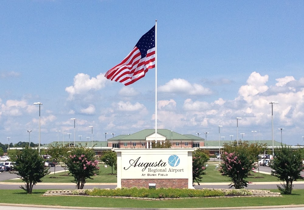
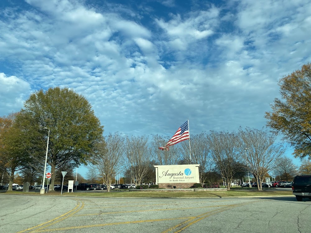
Augusta, GA
Elevation:
145ft
Sectional:
Atlanta
Activation date:
Oct 1943
Fuel:
100LL, A (prices)
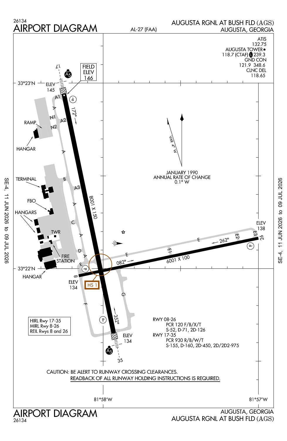
Runway 17/35:
8,001ft
Runway 08/26:
6,001ft
Access: Open to the public
Current Weather — VFR
-
Weather data is strictly informational and not for flight planning purposes.
-
METAR2026-07-20 08:53:00 EDT
Ceiling: Sky clear Wind: 220° @ 4kt Temperature: 82°F Dewpoint: 75°F Weather: N/A Visbility: 10SM Raw:METAR KAGS 201253Z 22004KT 10SM CLR 28/24 A2996 RMK AO2 SLP144 T02780239 -
TAF2026-07-20 08:00:00 EDT – 2026-07-20 13:00:00 EDT
Ceiling: Sky clear Wind: 200° @ 4kt Weather: N/A Visbility: 6SM Clouds: Scattered @ 15,000ft Raw:TAF KAGS 201120Z 2012/2112 20004KT P6SM SCT150 FM201700 20009G16KT P6SM SCT040 FM210100 19005KT P6SM SCT150 -
TAF2026-07-20 13:00:00 EDT – 2026-07-20 21:00:00 EDT
Ceiling: Sky clear Wind: 200° @ 9kt, gusts 16kt Weather: N/A Visbility: 6SM Clouds: Scattered @ 4,000ft Raw:TAF KAGS 201120Z 2012/2112 20004KT P6SM SCT150 FM201700 20009G16KT P6SM SCT040 FM210100 19005KT P6SM SCT150 -
TAF2026-07-20 21:00:00 EDT – 2026-07-21 08:00:00 EDT
Ceiling: Sky clear Wind: 190° @ 5kt Weather: N/A Visbility: 6SM Clouds: Scattered @ 15,000ft Raw:TAF KAGS 201120Z 2012/2112 20004KT P6SM SCT150 FM201700 20009G16KT P6SM SCT040 FM210100 19005KT P6SM SCT150
Click/tap to add an annotation marker to the map
No webcams added yet.
Remarks
- Existed prior to 1959.
- Arff index c avbl upon request. arff index d avbl with 48 hr notice.
- Birds on & invof arpt. hvy bird act invof arpt nov-mar.
- Caution: taxi-lane ramp entrance/exit point into standard aero storm water ditch on north side.
- Caution: wildlife hazard coyote.
Comments