Pirep is a free, collaborative database of all public and private airports. All pilots are welcome to contribute their local knowledge to any airport, no registration required.


No upcoming events. Is anything happening here soon?
Last updated: 2024-01-13 01:58:57 EST
Airport Statistics
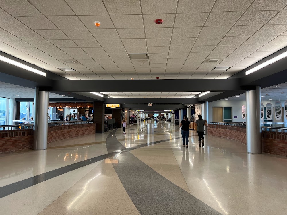
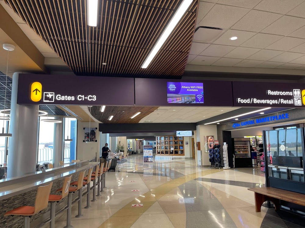
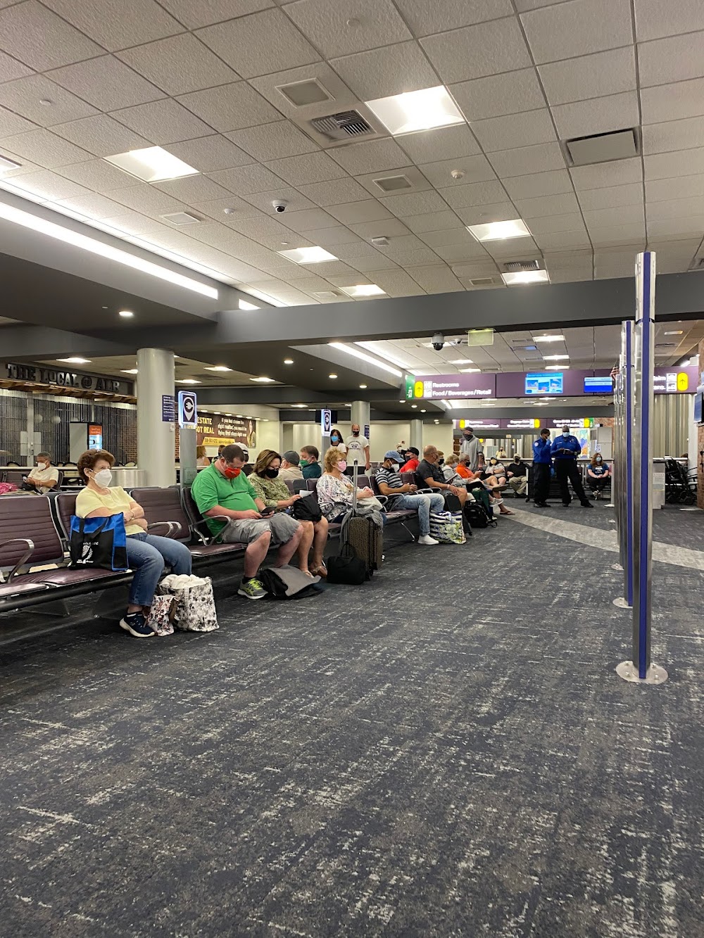
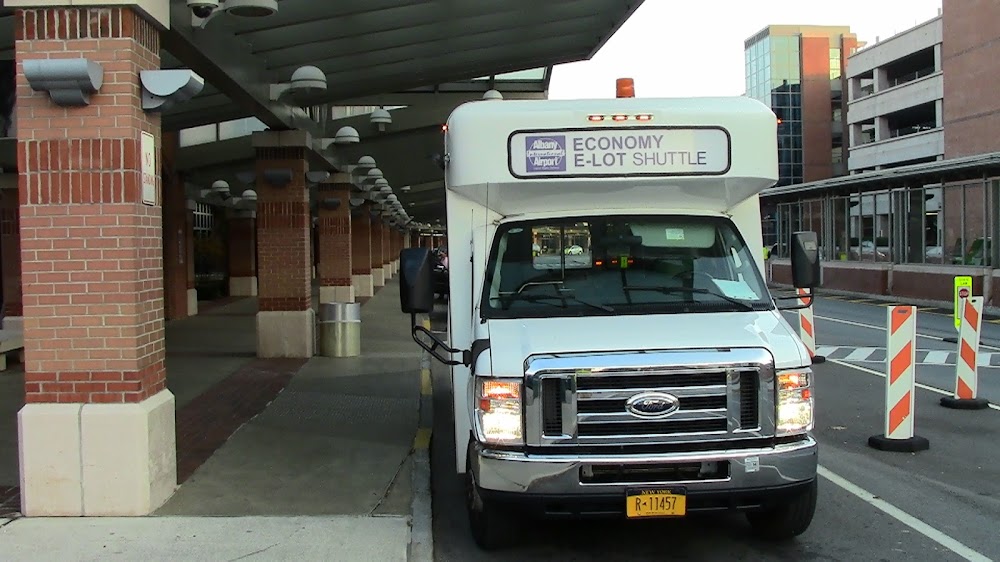
- Airport photos
- Transient parking location
- Fuel pump location
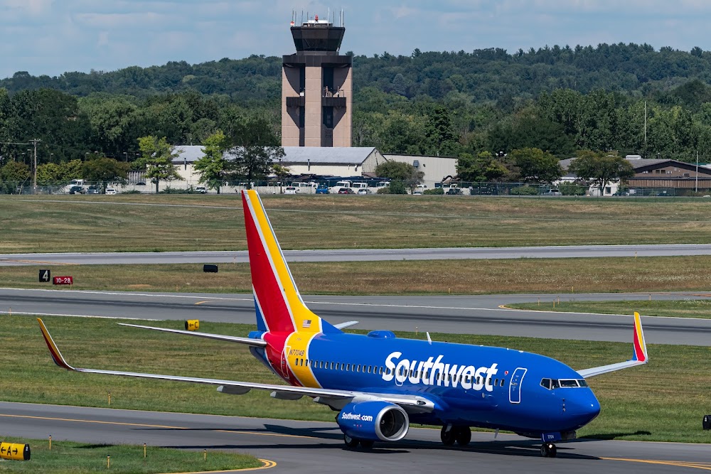
Location:
Albany, NY
Elevation:
284ft
Sectional:
New York
Activation date:
Mar 1941
Fuel:
100LL, A (prices)
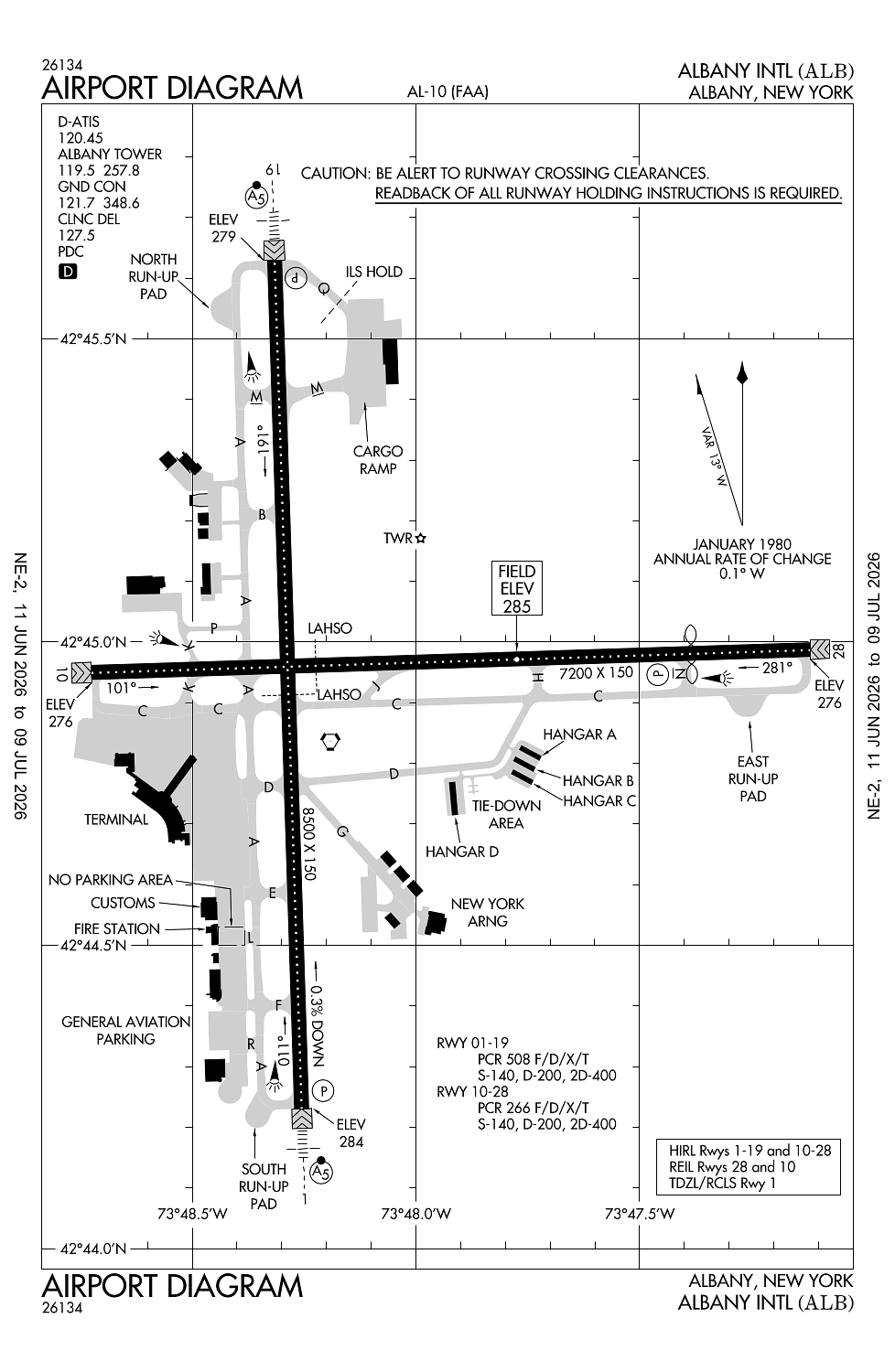
Runway 01/19:
8,500ft
Runway 10/28:
7,200ft
Access: Open to the public
Similar Airports

Current Weather — MVFR
-
Weather data is strictly informational and not for flight planning purposes.
-
METAR2026-07-28 22:18:00 EDT
Ceiling: 3,500ft Wind: 110° @ 5kt Temperature: 66°F Dewpoint: 64°F Weather: Light rain, mist Visbility: 5SM Clouds: Few @ 500ft, Scattered @ 2,300ft, Overcast @ 3,500ft Raw:SPECI KALB 290218Z 11005KT 5SM -RA BR FEW005 SCT023 OVC035 19/18 A2966 RMK AO2 P0041 T01890183 -
TAF2026-07-28 20:00:00 EDT – 2026-07-29 00:00:00 EDT
Ceiling: 1,500ft Wind: 150° @ 7kt Weather: Rain, mist Visbility: 4SM Clouds: Scattered @ 800ft, Overcast @ 1,500ft Raw:TAF KALB 282329Z 2900/2924 15007KT 4SM RA BR SCT008 OVC015 TEMPO 2900/2904 2SM +RA BR BKN008 FM290400 13004KT 2SM RA BR SCT005 OVC015 TEMPO 2904/2908 1SM +RA BR OVC005 FM291200 05005G12KT 2SM -RA BR OVC005 FM291700 04007KT 3SM -SHRA BR OVC005 -
TAF2026-07-28 20:00:00 EDT – 2026-07-29 00:00:00 EDT
Ceiling: 800ft Wind: 000° @ kt Weather: Heavy rain, mist Visbility: 2SM Clouds: Broken @ 800ft Raw:TAF KALB 282329Z 2900/2924 15007KT 4SM RA BR SCT008 OVC015 TEMPO 2900/2904 2SM +RA BR BKN008 FM290400 13004KT 2SM RA BR SCT005 OVC015 TEMPO 2904/2908 1SM +RA BR OVC005 FM291200 05005G12KT 2SM -RA BR OVC005 FM291700 04007KT 3SM -SHRA BR OVC005 -
TAF2026-07-29 00:00:00 EDT – 2026-07-29 04:00:00 EDT
Ceiling: 500ft Wind: 000° @ kt Weather: Heavy rain, mist Visbility: 1SM Clouds: Overcast @ 500ft Raw:TAF KALB 282329Z 2900/2924 15007KT 4SM RA BR SCT008 OVC015 TEMPO 2900/2904 2SM +RA BR BKN008 FM290400 13004KT 2SM RA BR SCT005 OVC015 TEMPO 2904/2908 1SM +RA BR OVC005 FM291200 05005G12KT 2SM -RA BR OVC005 FM291700 04007KT 3SM -SHRA BR OVC005 -
TAF2026-07-29 00:00:00 EDT – 2026-07-29 08:00:00 EDT
Ceiling: 1,500ft Wind: 130° @ 4kt Weather: Rain, mist Visbility: 2SM Clouds: Scattered @ 500ft, Overcast @ 1,500ft Raw:TAF KALB 282329Z 2900/2924 15007KT 4SM RA BR SCT008 OVC015 TEMPO 2900/2904 2SM +RA BR BKN008 FM290400 13004KT 2SM RA BR SCT005 OVC015 TEMPO 2904/2908 1SM +RA BR OVC005 FM291200 05005G12KT 2SM -RA BR OVC005 FM291700 04007KT 3SM -SHRA BR OVC005 -
TAF2026-07-29 08:00:00 EDT – 2026-07-29 13:00:00 EDT
Ceiling: 500ft Wind: 050° @ 5kt, gusts 12kt Weather: Light rain, mist Visbility: 2SM Clouds: Overcast @ 500ft Raw:TAF KALB 282329Z 2900/2924 15007KT 4SM RA BR SCT008 OVC015 TEMPO 2900/2904 2SM +RA BR BKN008 FM290400 13004KT 2SM RA BR SCT005 OVC015 TEMPO 2904/2908 1SM +RA BR OVC005 FM291200 05005G12KT 2SM -RA BR OVC005 FM291700 04007KT 3SM -SHRA BR OVC005 -
TAF2026-07-29 13:00:00 EDT – 2026-07-29 20:00:00 EDT
Ceiling: 500ft Wind: 040° @ 7kt Weather: Light rain showers, mist Visbility: 3SM Clouds: Overcast @ 500ft Raw:TAF KALB 282329Z 2900/2924 15007KT 4SM RA BR SCT008 OVC015 TEMPO 2900/2904 2SM +RA BR BKN008 FM290400 13004KT 2SM RA BR SCT005 OVC015 TEMPO 2904/2908 1SM +RA BR OVC005 FM291200 05005G12KT 2SM -RA BR OVC005 FM291700 04007KT 3SM -SHRA BR OVC005
Click/tap to add an annotation marker to the map
No webcams added yet.
Remarks
- Twy d east of rwy 01/19 rstrd to acft 12500 lbs & less.
- Birds, deer & other wildlife on & invof arpt.
- Wx balloon launches aprxly 3 mi s of arpt at 0600 & 1800.
- Twy c west of twy a: non mov area.
- Cust/img flt info svc fac lctd n end ga apn. acft clrg cust use painted psn mkgs & procd to minimize blast impact.
Comments