Pirep is a free, collaborative database of all public and private airports. All pilots are welcome to contribute their local knowledge to any airport, no registration required.
Public
Undocumented
METAR / TAF
Webcam
Edit Tags
No upcoming events. Is anything happening here soon?
Airport Statistics
- Landing & tie-down fees
- Airport map annotations
- Fuel pump location
Location:
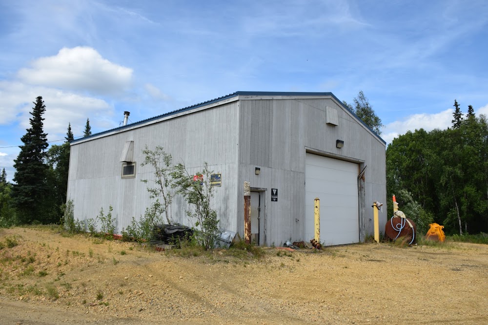
Anvik, AK
Elevation:
297ft
Sectional:
Mc Grath
Activation date:
Jun 1963
Fuel:
None
Runway 17/35:
4,000ft
Access: Open to the public
Current Weather — VFR
-
Weather data is strictly informational and not for flight planning purposes.
-
METAR2026-07-20 05:56:00 AKDT
Ceiling: 4,000ft Wind: 130° @ 6kt Temperature: 50°F Dewpoint: 44°F Weather: N/A Visbility: 10SM Clouds: Overcast @ 4,000ft Raw:METAR PANV 201356Z AUTO 13006KT 10SM OVC040 10/07 A2988 RMK AO2 SLP180 T01000072 TSNO
Click/tap to add an annotation marker to the map
Remarks
- Ry cond not monitored; rcmd visual inspection prior to lndg.
- Wx camera avbl on internet at https://weathercams.faa.gov
- Radio aids to navigation - ndb/dme ots indef
- Actvt mirl ry 17/35, papis rwy 17 &35, reils rwy 17& 35 --122.7.
- 77 ft trees 200 ft east of windsock may result in erroneous wind indications.
Comments