Pirep is a free, collaborative database of all public and private airports. All pilots are welcome to contribute their local knowledge to any airport, no registration required.
Public
Undocumented
METAR / TAF
Edit Tags
No upcoming events. Is anything happening here soon?
Airport Statistics
- Tags
- Transient parking location
- Crew car availability
Location:
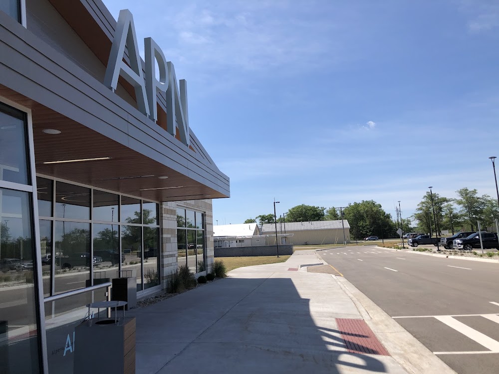
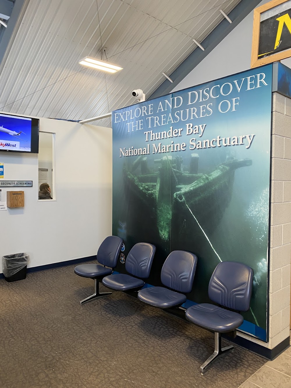
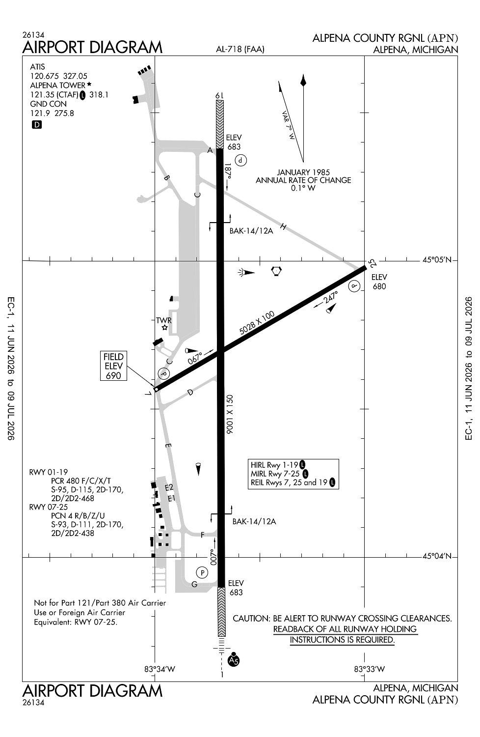
Alpena, MI
Elevation:
689ft
Sectional:
Lake Huron
Activation date:
Apr 1940
Fuel:
100LL, A (prices)
Runway 01/19:
9,001ft
Runway 07/25:
5,028ft
Access: Open to the public
Current Weather — VFR
-
Weather data is strictly informational and not for flight planning purposes.
-
METAR2026-07-21 08:54:00 EDT
Ceiling: Sky clear Wind: 270° @ 8kt, gusts 15kt Temperature: 71°F Dewpoint: 64°F Weather: N/A Visbility: 10SM Clouds: Few @ 12,000ft Raw:METAR KAPN 211254Z AUTO 27008G15KT 230V290 10SM FEW120 22/18 A2951 RMK AO2 SLP990 T02220178 -
TAF2026-07-21 08:00:00 EDT – 2026-07-21 11:00:00 EDT
Ceiling: Sky clear Wind: 270° @ 7kt Weather: N/A Visbility: 6SM Clouds: Scattered @ 25,000ft Raw:TAF KAPN 211120Z 2112/2212 27007KT P6SM SCT250 FM211500 28009G17KT P6SM VCSH BKN040 FM211800 29011G20KT P6SM VCSH BKN030 FM220100 31014G26KT P6SM BKN027 FM220800 31011G20KT P6SM BKN035 -
TAF2026-07-21 11:00:00 EDT – 2026-07-21 14:00:00 EDT
Ceiling: 4,000ft Wind: 280° @ 9kt, gusts 17kt Weather: Showers in vicinity Visbility: 6SM Clouds: Broken @ 4,000ft Raw:TAF KAPN 211120Z 2112/2212 27007KT P6SM SCT250 FM211500 28009G17KT P6SM VCSH BKN040 FM211800 29011G20KT P6SM VCSH BKN030 FM220100 31014G26KT P6SM BKN027 FM220800 31011G20KT P6SM BKN035 -
TAF2026-07-21 14:00:00 EDT – 2026-07-21 21:00:00 EDT
Ceiling: 3,000ft Wind: 290° @ 11kt, gusts 20kt Weather: Showers in vicinity Visbility: 6SM Clouds: Broken @ 3,000ft Raw:TAF KAPN 211120Z 2112/2212 27007KT P6SM SCT250 FM211500 28009G17KT P6SM VCSH BKN040 FM211800 29011G20KT P6SM VCSH BKN030 FM220100 31014G26KT P6SM BKN027 FM220800 31011G20KT P6SM BKN035 -
TAF2026-07-21 21:00:00 EDT – 2026-07-22 04:00:00 EDT
Ceiling: 2,700ft Wind: 310° @ 14kt, gusts 26kt Weather: N/A Visbility: 6SM Clouds: Broken @ 2,700ft Raw:TAF KAPN 211120Z 2112/2212 27007KT P6SM SCT250 FM211500 28009G17KT P6SM VCSH BKN040 FM211800 29011G20KT P6SM VCSH BKN030 FM220100 31014G26KT P6SM BKN027 FM220800 31011G20KT P6SM BKN035 -
TAF2026-07-22 04:00:00 EDT – 2026-07-22 08:00:00 EDT
Ceiling: 3,500ft Wind: 310° @ 11kt, gusts 20kt Weather: N/A Visbility: 6SM Clouds: Broken @ 3,500ft Raw:TAF KAPN 211120Z 2112/2212 27007KT P6SM SCT250 FM211500 28009G17KT P6SM VCSH BKN040 FM211800 29011G20KT P6SM VCSH BKN030 FM220100 31014G26KT P6SM BKN027 FM220800 31011G20KT P6SM BKN035
Click/tap to add an annotation marker to the map
No webcams added yet.
Remarks
- Rwy 01 & 19 each have 1000 ft ovrn.
- Birds & otr wildlife on & invof arpt.
- Military: ang: duty hrs 0800-1600 mon-fri exc hols.
- Twy a west of twy c & twy b rstrd to mil only. be alert for uncontrolled vehicles on the twy.
- Twy h east of rwy 01/19 unlgtd.
Comments