Pirep is a free, collaborative database of all public and private airports. All pilots are welcome to contribute their local knowledge to any airport, no registration required.


No upcoming events. Is anything happening here soon?
Last updated: 2023-11-25 12:36:11 CST
Airport Statistics
- Crew car availability
- WiFi availability
- Landing & tie-down fees
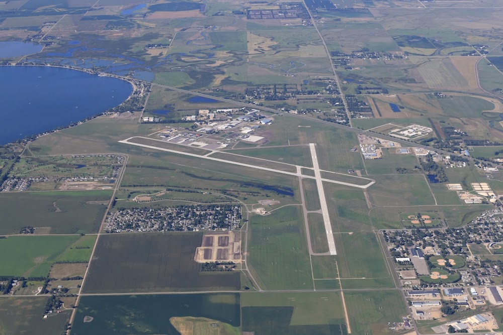
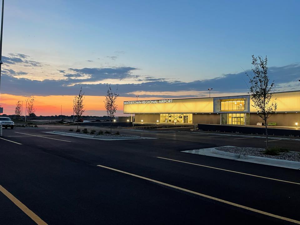
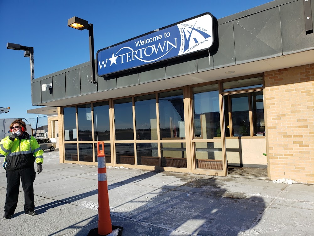
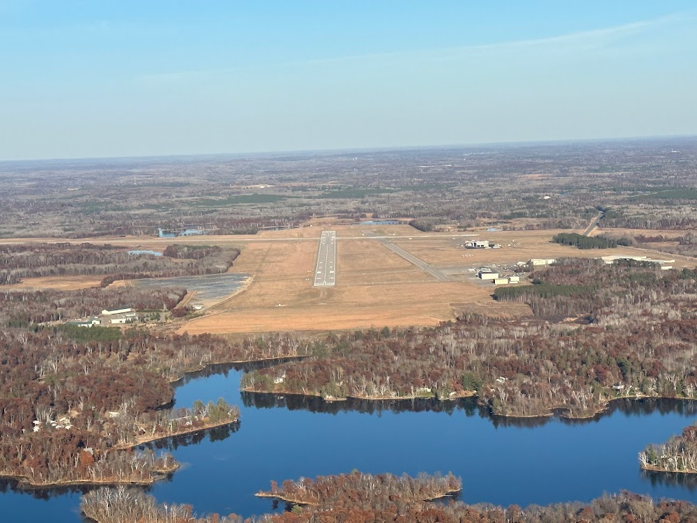
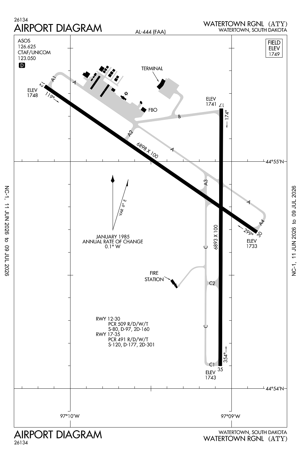
Location:
Watertown, SD
Elevation:
1,749ft
Sectional:
Twin Cities
Activation date:
Dec 1937
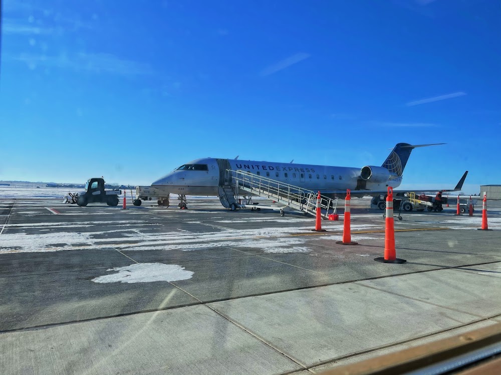
Fuel:
100LL, A (prices)
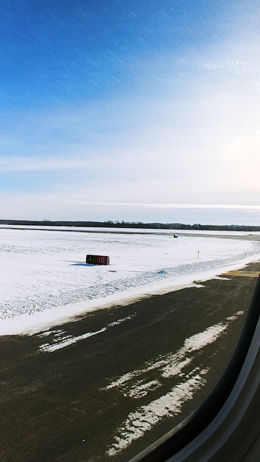
Runway 12/30:
6,898ft
Runway 17/35:
6,893ft
Access: Open to the public
Similar Airports

Current Weather — VFR
-
Weather data is strictly informational and not for flight planning purposes.
-
METAR2026-07-20 20:53:00 CDT
Ceiling: Sky clear Wind: 300° @ 9kt Temperature: 78°F Dewpoint: 60°F Weather: N/A Visbility: 10SM Raw:METAR KATY 210153Z AUTO 30009KT 10SM CLR 26/16 A2985 RMK AO2 SLP095 T02560161 -
TAF2026-07-20 19:00:00 CDT – 2026-07-21 19:00:00 CDT
Ceiling: Sky clear Wind: 320° @ 13kt, gusts 23kt Weather: N/A Visbility: 6SM Clouds: Few @ 25,000ft Raw:TAF KATY 202320Z 2100/2124 32013G23KT P6SM FEW250
Click/tap to add an annotation marker to the map
No webcams added yet.
Remarks
- Ppr 48 hrs unsked acr opns with more than 30 psgr seats call amgr 605 882-6209.
- Gulls & geese on & invof arpt apr-nov.
- Glider opns apr thru sep.
- Annually april- sept hay cutting opns in progress; farming equip may be in apchs.
- Acr opns involving acft with more than 9 psgrs are not auzd in excess of 15 mins before or after sked arr/dep times without prior coordination with amgr and cfmn that arff is avbl prior to landing or takeoff.
Comments