Pirep is a free, collaborative database of all public and private airports. All pilots are welcome to contribute their local knowledge to any airport, no registration required.
Attribution:
Stephen J. Lautenschlager
Attribution:
Luv2eat
Attribution:
Jeff Stilwell
Attribution:
Steve Dycus
Attribution:
Terrell Singleton
Attribution:
Jeff Stilwell
Attribution:
Jeff Stilwell
Attribution:
Mario
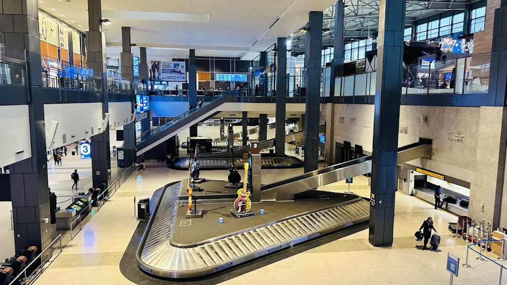
Attribution:
Rajesh Vargheese
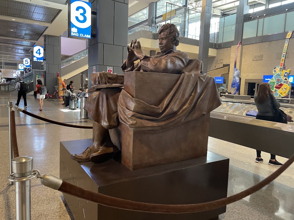
Attribution:
Jacob H
Public
Undocumented
METAR / TAF
Edit Tags
No upcoming events. Is anything happening here soon?
Airport Statistics
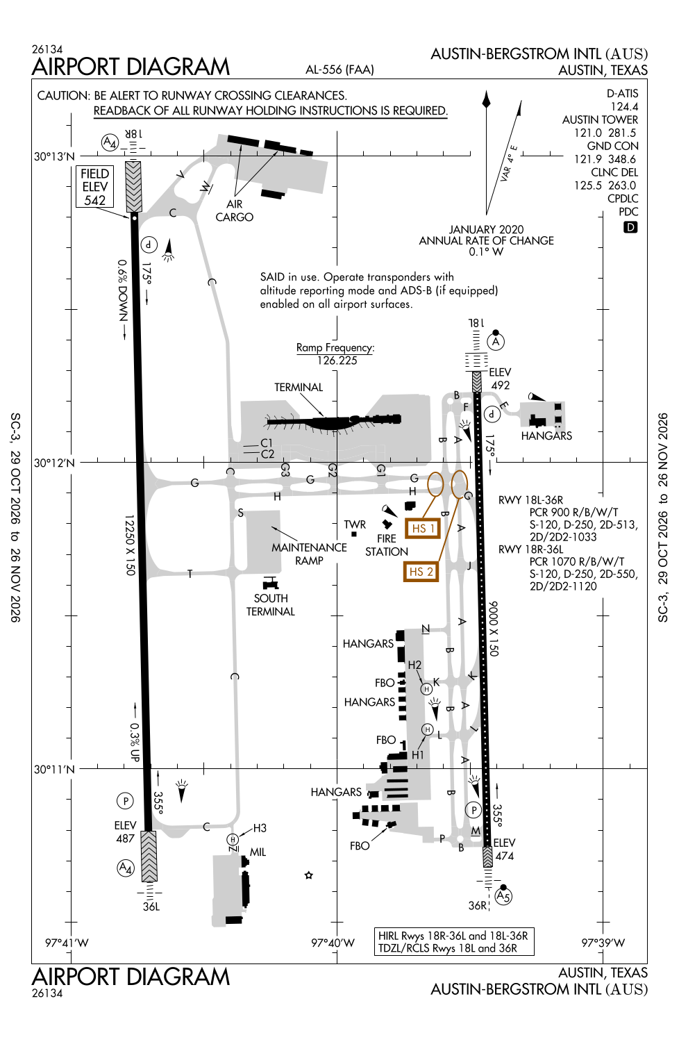
- Airport map annotations
- Fuel pump location
- General description
Location:
Austin, TX
Elevation:
541ft
Sectional:
San Antonio
Activation date:
Jul 1943
Fuel:
100LL, A
Runway 18R/36L:
12,250ft
Runway 18L/36R:
9,000ft
Runway H1:
60ft
Runway H2:
60ft
Runway H3:
50ft
Access: Open to the public
Current Weather — VFR
-
Weather data is strictly informational and not for flight planning purposes.
-
METAR2026-11-14 12:53:00 CST
Ceiling: 12,000ft Wind: 100° @ 10kt Temperature: 64°F Dewpoint: 50°F Weather: Light rain Visbility: 10SM Clouds: Few @ 4,000ft, Scattered @ 7,000ft, Overcast @ 12,000ft Raw:METAR KAUS 141853Z 10010KT 10SM -RA FEW040 SCT070 OVC120 18/10 A3003 RMK AO2 RAB43 SLP168 P0000 T01780100 $ -
TAF2026-11-14 12:00:00 CST – 2026-11-14 18:00:00 CST
Ceiling: 5,000ft Wind: 100° @ 10kt Weather: N/A Visbility: 6SM Clouds: Broken @ 5,000ft, Broken @ 15,000ft Raw:TAF KAUS 141808Z 1418/1524 10010KT P6SM BKN050 BKN150 TEMPO 1418/1420 6SM -RA BKN040 FM150000 12012G22KT P6SM VCSH OVC025 FM150300 12014KT P6SM -SHRA OVC015 FM151200 10011KT 6SM -SHRA OVC009 TEMPO 1513/1516 VRB15G25KT 3SM TSRA BKN008 OVC020CB -
TAF2026-11-14 12:00:00 CST – 2026-11-14 14:00:00 CST
Ceiling: 4,000ft Wind: 000° @ kt Weather: Light rain Visbility: 6SM Clouds: Broken @ 4,000ft Raw:TAF KAUS 141808Z 1418/1524 10010KT P6SM BKN050 BKN150 TEMPO 1418/1420 6SM -RA BKN040 FM150000 12012G22KT P6SM VCSH OVC025 FM150300 12014KT P6SM -SHRA OVC015 FM151200 10011KT 6SM -SHRA OVC009 TEMPO 1513/1516 VRB15G25KT 3SM TSRA BKN008 OVC020CB -
TAF2026-11-14 18:00:00 CST – 2026-11-14 21:00:00 CST
Ceiling: 2,500ft Wind: 120° @ 12kt, gusts 22kt Weather: Showers in vicinity Visbility: 6SM Clouds: Overcast @ 2,500ft Raw:TAF KAUS 141808Z 1418/1524 10010KT P6SM BKN050 BKN150 TEMPO 1418/1420 6SM -RA BKN040 FM150000 12012G22KT P6SM VCSH OVC025 FM150300 12014KT P6SM -SHRA OVC015 FM151200 10011KT 6SM -SHRA OVC009 TEMPO 1513/1516 VRB15G25KT 3SM TSRA BKN008 OVC020CB -
TAF2026-11-14 21:00:00 CST – 2026-11-15 06:00:00 CST
Ceiling: 1,500ft Wind: 120° @ 14kt Weather: Light rain showers Visbility: 6SM Clouds: Overcast @ 1,500ft Raw:TAF KAUS 141808Z 1418/1524 10010KT P6SM BKN050 BKN150 TEMPO 1418/1420 6SM -RA BKN040 FM150000 12012G22KT P6SM VCSH OVC025 FM150300 12014KT P6SM -SHRA OVC015 FM151200 10011KT 6SM -SHRA OVC009 TEMPO 1513/1516 VRB15G25KT 3SM TSRA BKN008 OVC020CB -
TAF2026-11-15 06:00:00 CST – 2026-11-15 18:00:00 CST
Ceiling: 900ft Wind: 100° @ 11kt Weather: Light rain showers Visbility: 6SM Clouds: Overcast @ 900ft Raw:TAF KAUS 141808Z 1418/1524 10010KT P6SM BKN050 BKN150 TEMPO 1418/1420 6SM -RA BKN040 FM150000 12012G22KT P6SM VCSH OVC025 FM150300 12014KT P6SM -SHRA OVC015 FM151200 10011KT 6SM -SHRA OVC009 TEMPO 1513/1516 VRB15G25KT 3SM TSRA BKN008 OVC020CB -
TAF2026-11-15 07:00:00 CST – 2026-11-15 10:00:00 CST
Ceiling: 800ft Wind: Variable, gusts 25kt Weather: Thunderstorm rain Visbility: 3SM Clouds: Broken @ 800ft, Overcast @ 2,000ft Raw:TAF KAUS 141808Z 1418/1524 10010KT P6SM BKN050 BKN150 TEMPO 1418/1420 6SM -RA BKN040 FM150000 12012G22KT P6SM VCSH OVC025 FM150300 12014KT P6SM -SHRA OVC015 FM151200 10011KT 6SM -SHRA OVC009 TEMPO 1513/1516 VRB15G25KT 3SM TSRA BKN008 OVC020CB
Click/tap to add an annotation marker to the map
No webcams added yet.
Remarks
- Bird activity on & invof arpt.
- Durg the hrs 0000-0600 arrg acft will be asgnd rwy 36l or rwy 36r & departing acft will be asgnd rwy 18l or rwy 18r to avoid noise sensitive areas.
- Noise abatement: all dep follow atc instructions; climb asap to 4000 ft or above.
- Ppr engine maintenance run ups call ops 512-530-7550.
- Declared low visibility conds require atct communication prior to push back.
Comments