Pirep is a free, collaborative database of all public and private airports. All pilots are welcome to contribute their local knowledge to any airport, no registration required.

Public
Undocumented
METAR / TAF
Edit Tags
No upcoming events. Is anything happening here soon?
Airport Statistics
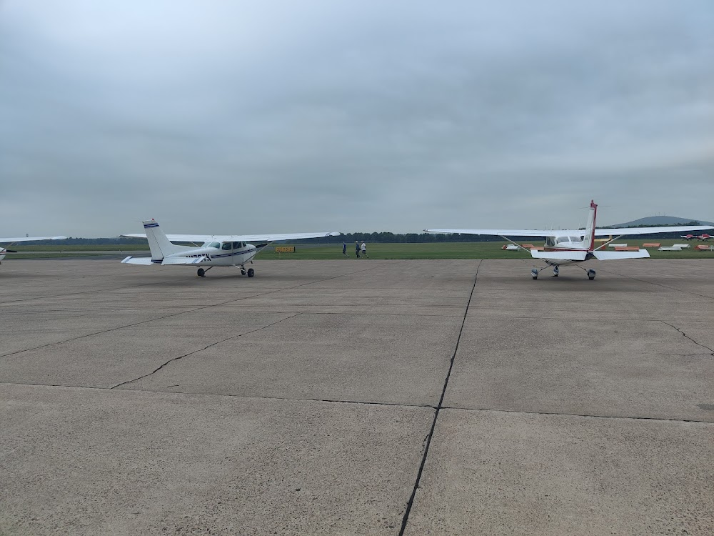
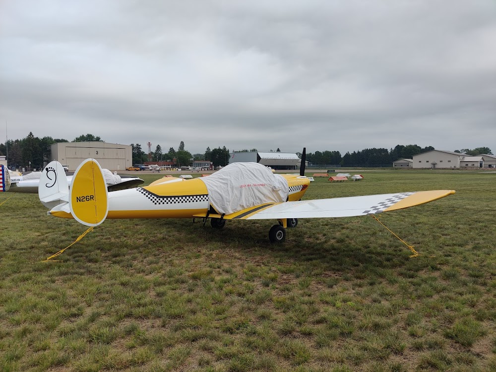
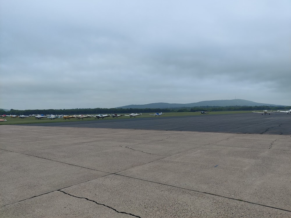
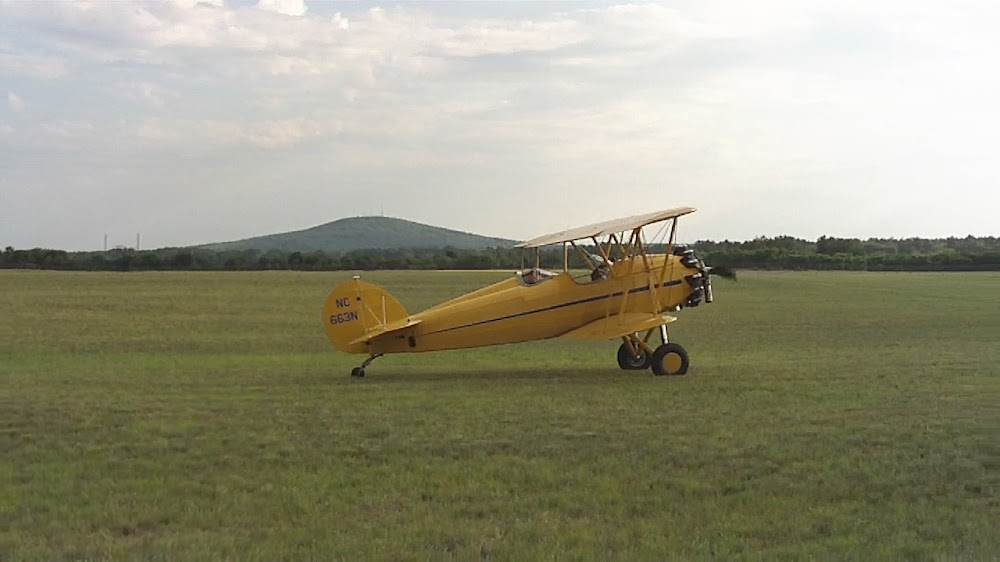
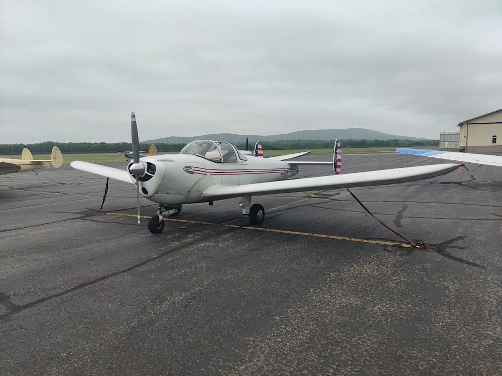
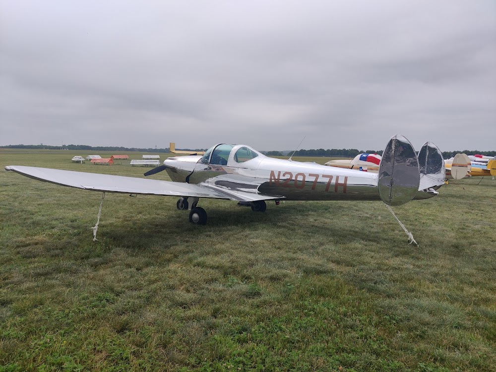
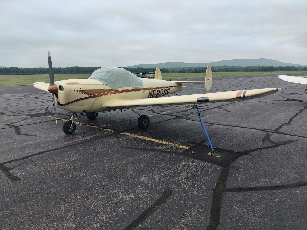
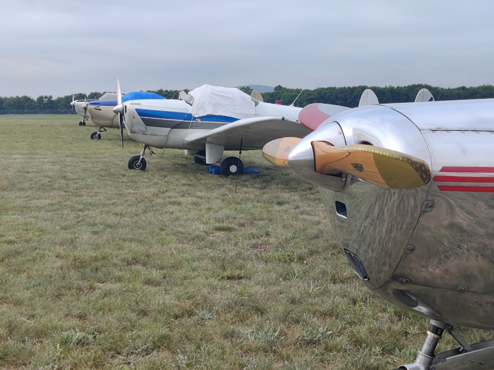
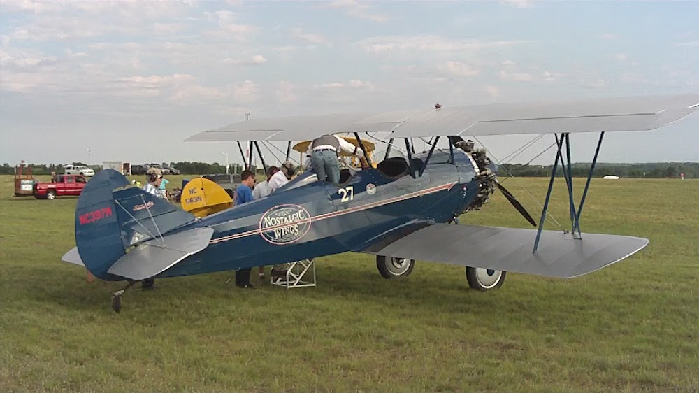
- Airport photos
- Tags
- General description
Location:
Wausau, WI
Elevation:
1,201ft
Sectional:
Green Bay
Activation date:
Nov 1937
Fuel:
100LL, A+, MOGAS (prices)
Runway 12W/30W:
8,000ft
Runway 13/31:
5,200ft
Runway 05/23:
3,041ft
Access: Open to the public
Current Weather — VFR
-
Weather data is strictly informational and not for flight planning purposes.
-
METAR2026-07-20 20:54:00 CDT
Ceiling: Sky clear Wind: 250° @ 10kt, gusts 19kt Temperature: 78°F Dewpoint: 69°F Weather: N/A Visbility: 10SM Raw:METAR KAUW 210154Z AUTO 25010G19KT 10SM CLR 26/21 A2959 RMK AO2 RAE0056 SLP016 P0000 T02610211 -
TAF2026-07-20 21:00:00 CDT – 2026-07-21 00:00:00 CDT
Ceiling: Sky clear Wind: 260° @ 9kt, gusts 21kt Weather: N/A Visbility: 6SM Clouds: Few @ 2,500ft, Scattered @ 4,500ft Raw:TAF KAUW 210146Z 2102/2124 26009G21KT P6SM FEW025 SCT045 FM210500 29009G18KT P6SM SCT250 FM211300 31014G21KT P6SM BKN025 FM211800 33016G24KT P6SM OVC050 -
TAF2026-07-21 00:00:00 CDT – 2026-07-21 08:00:00 CDT
Ceiling: Sky clear Wind: 290° @ 9kt, gusts 18kt Weather: N/A Visbility: 6SM Clouds: Scattered @ 25,000ft Raw:TAF KAUW 210146Z 2102/2124 26009G21KT P6SM FEW025 SCT045 FM210500 29009G18KT P6SM SCT250 FM211300 31014G21KT P6SM BKN025 FM211800 33016G24KT P6SM OVC050 -
TAF2026-07-21 08:00:00 CDT – 2026-07-21 13:00:00 CDT
Ceiling: 2,500ft Wind: 310° @ 14kt, gusts 21kt Weather: N/A Visbility: 6SM Clouds: Broken @ 2,500ft Raw:TAF KAUW 210146Z 2102/2124 26009G21KT P6SM FEW025 SCT045 FM210500 29009G18KT P6SM SCT250 FM211300 31014G21KT P6SM BKN025 FM211800 33016G24KT P6SM OVC050 -
TAF2026-07-21 13:00:00 CDT – 2026-07-21 19:00:00 CDT
Ceiling: 5,000ft Wind: 330° @ 16kt, gusts 24kt Weather: N/A Visbility: 6SM Clouds: Overcast @ 5,000ft Raw:TAF KAUW 210146Z 2102/2124 26009G21KT P6SM FEW025 SCT045 FM210500 29009G18KT P6SM SCT250 FM211300 31014G21KT P6SM BKN025 FM211800 33016G24KT P6SM OVC050
Click/tap to add an annotation marker to the map
No webcams added yet.
Remarks
- For cd if una to ctc on fss freq, ctc minneapolis artcc at 651-463-5588.
- Mirl rwy 13/31 preset to low; to incr intst and actvt reils rwy 13 & 31; papi rwy 13 & 31; mirl rwy 5/23 - ctaf.
- 40 ft trees 0-200 ft fm thr 300 ft r & 450 ft l.
- 30 ft trees 150 ft fm thr 425 ft l.
Comments